Reconstructing the long-term history of fault movement where tectonic plates collide is important for assessing seismic hazard, but it has proven challenging to accomplish in practice. Many methods use the deformation of sediments deposited on top of faults to extract information about past earthquakes and slip rates.
However, obtaining robust estimates from these techniques requires understanding the link between sediment disturbances and fault geometry. Le Béon et al. propose a conceptual model based on previous research that employs a specific kind of deformation—fault-bend folding—to understand the slip history of thrust faults. They applied their method to the Chelungpu fault in Taiwan.
Fault-bend folding occurs as a consequence of the underlying geometry of a fault; below the surface, many fault planes lie relatively flat and then climb toward the surface at a steeper angle. When slip occurs, the bottom of the upper block runs into the steeper slope of the lower block, deforming the sediments that sit on top of the fault planes and producing a topographic kink at the surface. The researchers developed mathematical relationships that use the three-dimensional shape of this kink to determine the amount and direction of slip that has occurred along the fault.
By combining their new approach with observations of the Chelungpu fault, including extensive structural geology data and a topographic analysis of abandoned river terraces, the researchers estimated the slip history of this feature. They found that the fault has slipped obliquely at a rate of nearly 18 millimeters per year for the past 30 thousand years.
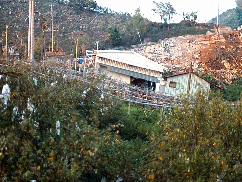
They also found that the Mw 7.6 earthquake that occurred along the fault in 1999, the largest earthquake in the 20th century to strike Taiwan, appears to be a typical event throughout the region’s history, recurring approximately every 470 years. (Journal of Geophysical Research: Solid Earth, doi:10.1002/2013JB010794, 2014)
—Julia Rosen, Freelance Writer
Citation: Rosen, J. (2015), Surface folds hint at magnitude of slip along thrust faults, Eos, 96, doi:10.1029/2015EO029101. Published on 1 May 2015.
Text © 2015. The authors. CC BY-NC 3.0
Except where otherwise noted, images are subject to copyright. Any reuse without express permission from the copyright owner is prohibited.