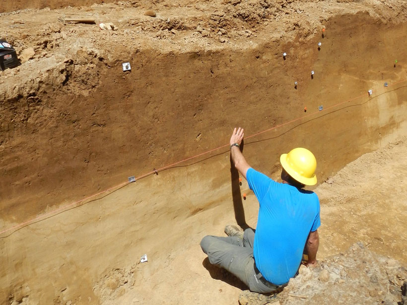
High-resolution lidar topography reveals a long history of ancient earthquakes.
lidar

Posted inEditors' Highlights
New Lidar Comparisons of Temperatures Near the Mesopause
For the first time, simultaneous measurements of upper atmosphere temperatures over altitudes 80 to 110 kilometers have been made by two complementary lidar techniques.

Posted inNews
Lidar Uncovers Thousands of New Maya Structures
Jungle-piercing lidar surveys over ancient Maya sites give scientists the most extensive maps of lowland Maya civilization to date.

Posted inNews
Damage Assessment by Laser Could Focus Postearthquake Response
Airborne lidar surveys taken before and after a powerful 2016 earthquake in Japan revealed the potential for such surveys to identify hard-hit buildings quickly.

Posted inNews
Three–Dimensional Scans Illuminate Wildlife Environments
Detailed laser imaging of vegetation and landforms where animals live and roam offers revealing new perspectives on interactions between those creatures and their surroundings.

Posted inResearch Spotlights
Hacking a Climate Satellite to See Beneath the Ocean's Surface
When NASA launched its CALIPSO spacecraft, the space agency did not intend to estimate phytoplankton populations.
Posted inResearch Spotlights
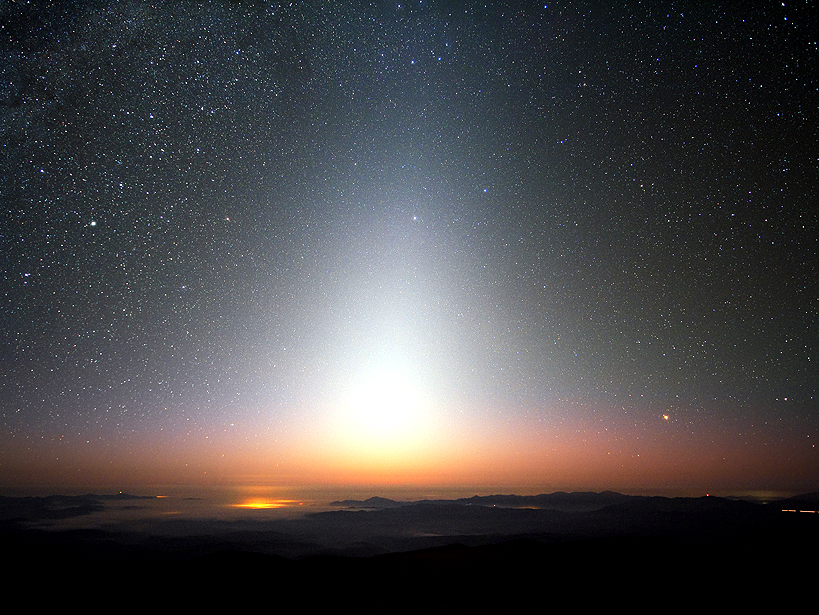
Shooting Stars and Cosmic Dust Help Form Clouds, Fertilize Plankton
Tons of cosmic dust enter Earth’s atmosphere each day, triggering a range of phenomena that scientists are only just beginning to understand.
Posted inScience Updates
Using Lidar to Advance Critical Zone Science
The Next Generation of LiDAR Analysis for Critical Zone Research;
Boulder, Colorado, 12–14 May 2014