• About
  • Sections
  • Topics
    • Climate
    • Earth Science
    • Oceans
    • Space & Planets
    • Health & Ecosystems
    • Culture & Policy
    • Education & Careers
    • Opinions
  • Projects
    • ENGAGE
    • Editors’ Highlights
    • Editors’ Vox
    • Eos en Español
    • Eos 简体中文版
    • Print Archive
  • Blogs
    • Research & Developments
    • The Landslide Blog
  • Newsletter
  • Submit to Eos
  • AGU.org
  • Career Center
  • Join AGU
  • Give to AGU
  • About
  • Sections
  • Topics
    • Climate
    • Earth Science
    • Oceans
    • Space & Planets
    • Health & Ecosystems
    • Culture & Policy
    • Education & Careers
    • Opinions
  • Projects
    • ENGAGE
    • Editors’ Highlights
    • Editors’ Vox
    • Eos en Español
    • Eos 简体中文版
    • Print Archive
  • Blogs
    • Research & Developments
    • The Landslide Blog
  • Newsletter
  • Submit to Eos
Skip to content
  • AGU.org
  • Career Center
  • Join AGU
  • Give to AGU
Eos

Eos

Science News by AGU

Support Eos
Sign Up for Newsletter
  • About
  • Sections
  • Topics
    • Climate
    • Earth Science
    • Oceans
    • Space & Planets
    • Health & Ecosystems
    • Culture & Policy
    • Education & Careers
    • Opinions
  • Projects
    • ENGAGE
    • Editors’ Highlights
    • Editors’ Vox
    • Eos en Español
    • Eos 简体中文版
    • Print Archive
  • Blogs
    • Research & Developments
    • The Landslide Blog
  • Newsletter
  • Submit to Eos

Mississippi

A bird’s-eye view of the Mississippi River delta. The main river runs left to right across the photo and wispy clouds are visible in the foreground.
Posted inNews

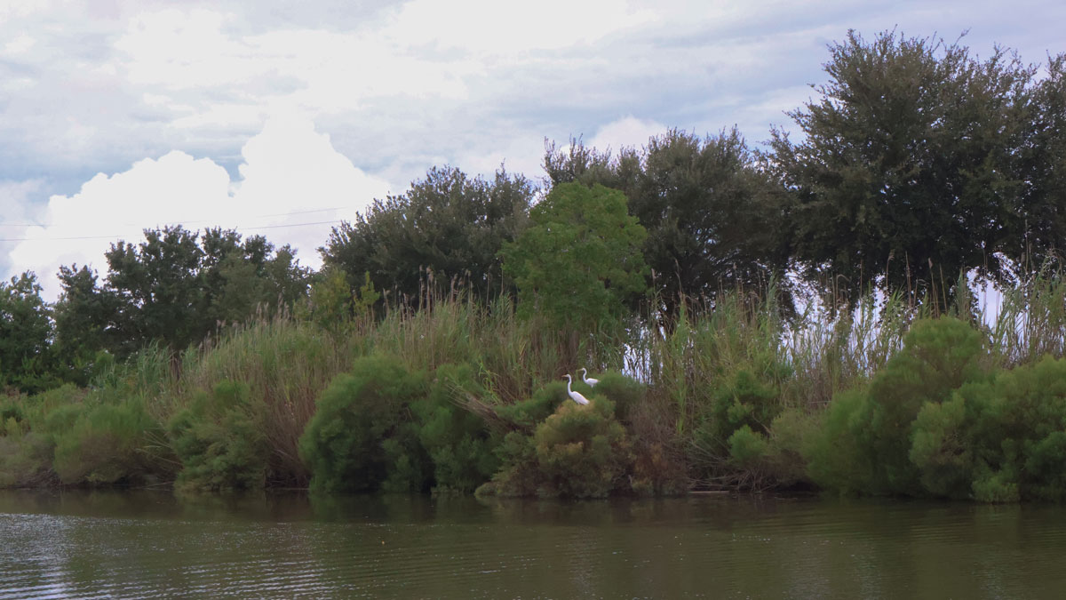
Tracking the Sediment Carried by the Muddy Mississippi

by Delaney Dryfoos 10 June 20259 June 2025

New research shows that typically, less than 10% of land-building alluvium reaches the Bird’s Foot Delta region, the southernmost reach of the river, where it meets the Gulf.

The 1927 flood on the Lower Mississippi River was one of the most destructive in U.S. history.
Posted inResearch Spotlights

Reimagining a Fatal Flood

Kate Wheeling, freelance science writer by Kate Wheeling 17 March 20162 March 2023

Researchers use high-resolution simulations to reexamine the rainfall events that led to one of the most destructive floods in U.S. history.

A view of a Washington, D.C., skyline from the Potomac River at night. The Lincoln Memorial (at left) and the Washington Monument (at right) are lit against a purple sky. Over the water of the Potomac appear the text “#AGU24 coverage from Eos.”

Features from AGU Publications

Research Spotlights

What’s Changed—and What Hasn’t—Since the EPA’s Endangerment Finding

24 June 202524 June 2025
Editors' Highlights

Shedding Light on the Mysteries of Deep Earthquakes

26 June 202526 June 2025
Editors' Vox

Water Tracks: The Veins of Thawing Landscapes

25 June 202525 June 2025
Eos logo at left; AGU logo at right

About Eos
ENGAGE
Awards
Contact

Advertise
Submit
Career Center
Sitemap

© 2025 American Geophysical Union. All rights reserved Powered by Newspack