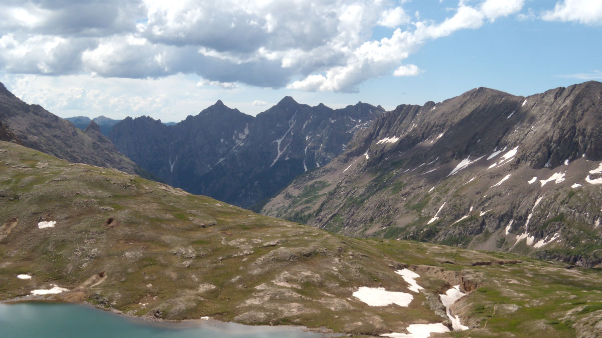
• About
  • Sections
  • Topics
    • Climate
    • Earth Science
    • Oceans
    • Space & Planets
    • Health & Ecosystems
    • Culture & Policy
    • Education & Careers
    • Opinions
  • Projects
    • ENGAGE
    • Editors’ Highlights
    • Editors’ Vox
    • Eos en Español
    • Eos 简体中文版
    • Print Archive
  • Blogs
    • Research & Developments
    • The Landslide Blog
  • Newsletter
  • Submit to Eos
  • AGU.org
  • Career Center
  • Join AGU
  • Give to AGU
  • About
  • Sections
  • Topics
    • Climate
    • Earth Science
    • Oceans
    • Space & Planets
    • Health & Ecosystems
    • Culture & Policy
    • Education & Careers
    • Opinions
  • Projects
    • ENGAGE
    • Editors’ Highlights
    • Editors’ Vox
    • Eos en Español
    • Eos 简体中文版
    • Print Archive
  • Blogs
    • Research & Developments
    • The Landslide Blog
  • Newsletter
  • Submit to Eos
Skip to content
  • AGU.org
  • Career Center
  • Join AGU
  • Give to AGU
Eos

Eos

Science News by AGU

Support Eos
Sign Up for Newsletter
  • About
  • Sections
  • Topics
    • Climate
    • Earth Science
    • Oceans
    • Space & Planets
    • Health & Ecosystems
    • Culture & Policy
    • Education & Careers
    • Opinions
  • Projects
    • ENGAGE
    • Editors’ Highlights
    • Editors’ Vox
    • Eos en Español
    • Eos 简体中文版
    • Print Archive
  • Blogs
    • Research & Developments
    • The Landslide Blog
  • Newsletter
  • Submit to Eos

New Mexico

Photo of a dryland with shrubs.
Posted inEditors' Highlights

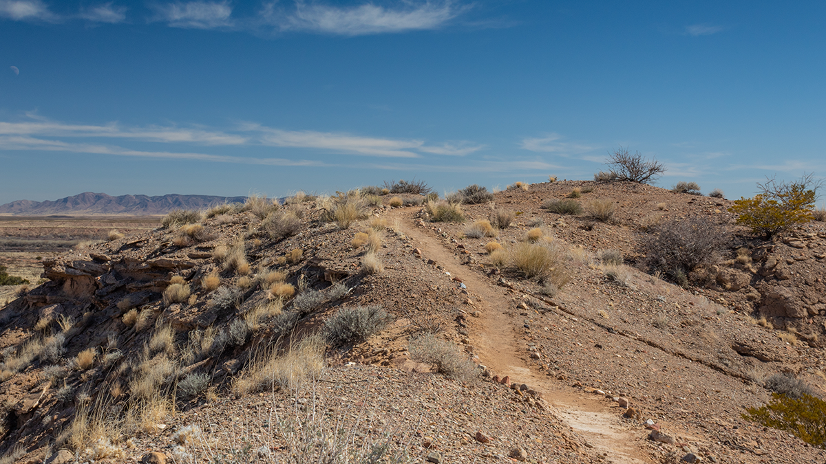
New Tracers of Wind Erosion Provide Insight into Dryland Vegetation

by Gregory Okin 25 January 202423 January 2024

Rare earth element tracers provide insight into how fire and wind transport influence the vegetation state of the world’s drylands.

Against a blue sky streaked with white clouds, Michael Bunds runs along a dirt road as he lands a black fixed-wing drone. Chelsea Scott, wearing red, stands with her back to the photographer, watching the drone and looking at desert scrub in the foreground.
Posted inNews

Drone Rules Make Tracking Down Faults a Difficult Feat

by Alka Tripathy-Lang 6 October 202124 April 2024

Regulations differ from country to country, but on one point, they’re relatively uniform: Drones must remain within their operators’ line of sight. How do earthquake scientists collect drone data while working within the rules?

A view of a Washington, D.C., skyline from the Potomac River at night. The Lincoln Memorial (at left) and the Washington Monument (at right) are lit against a purple sky. Over the water of the Potomac appear the text “#AGU24 coverage from Eos.”

Features from AGU Publications

Research Spotlights

Mapping the Ocean Floor with Ancient Tides

6 May 20256 May 2025
Editors' Highlights

First Benchmarking System of Global Hydrological Models

7 May 20257 May 2025
Editors' Vox

Decoding Crop Evapotranspiration

6 May 20256 May 2025
Eos logo at left; AGU logo at right

About Eos
ENGAGE
Awards
Contact

Advertise
Submit
Career Center
Sitemap

© 2025 American Geophysical Union. All rights reserved Powered by Newspack