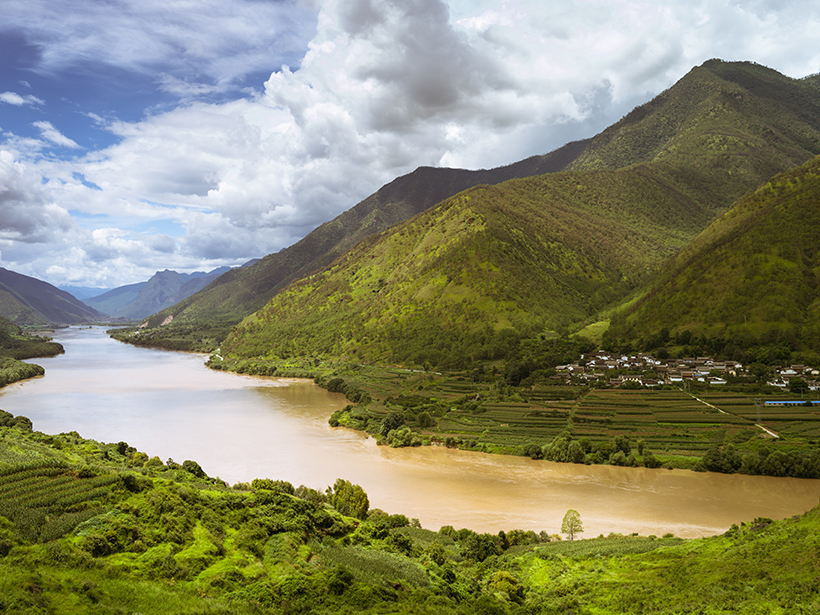
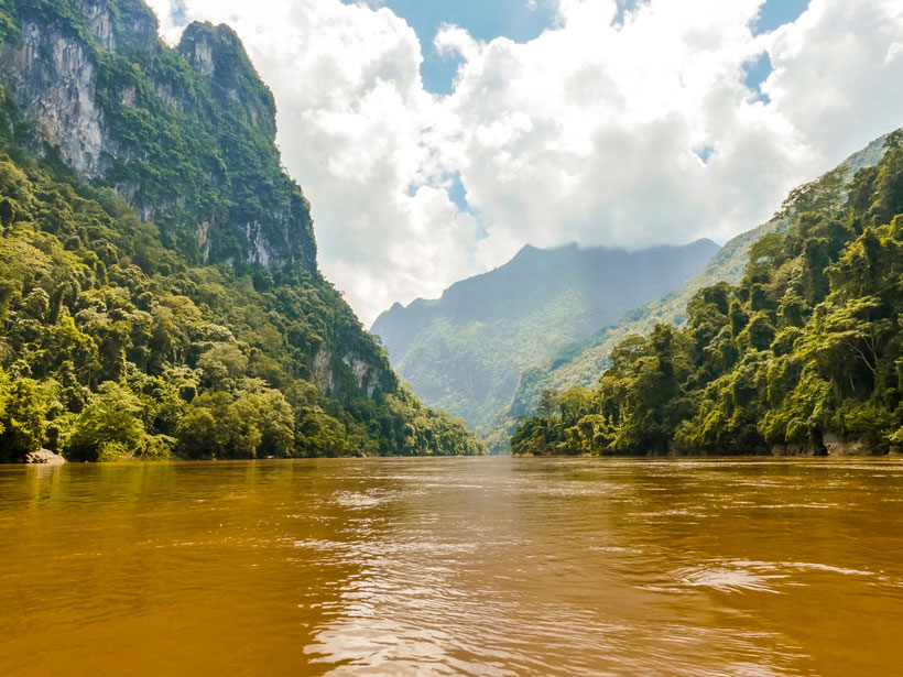
Logging, urbanization, and dam building are a few ways people have significantly altered natural river ecosystems. Understanding that influence is a grand challenge of our time.
rivers
Posted inNews
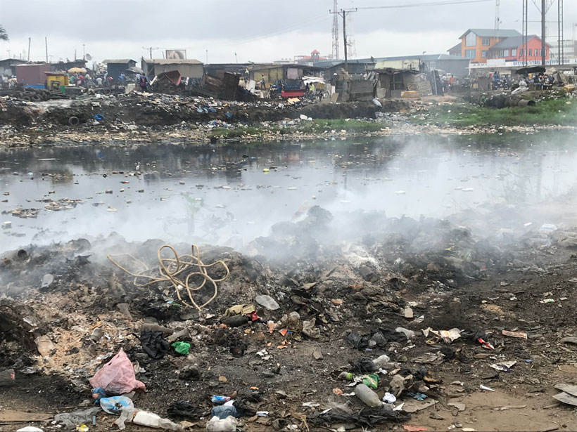
Antibiotics Are Flooding Earth’s Rivers
The drugs can lead to drug-resistant bacteria and deadly infections.
Posted inResearch Spotlights
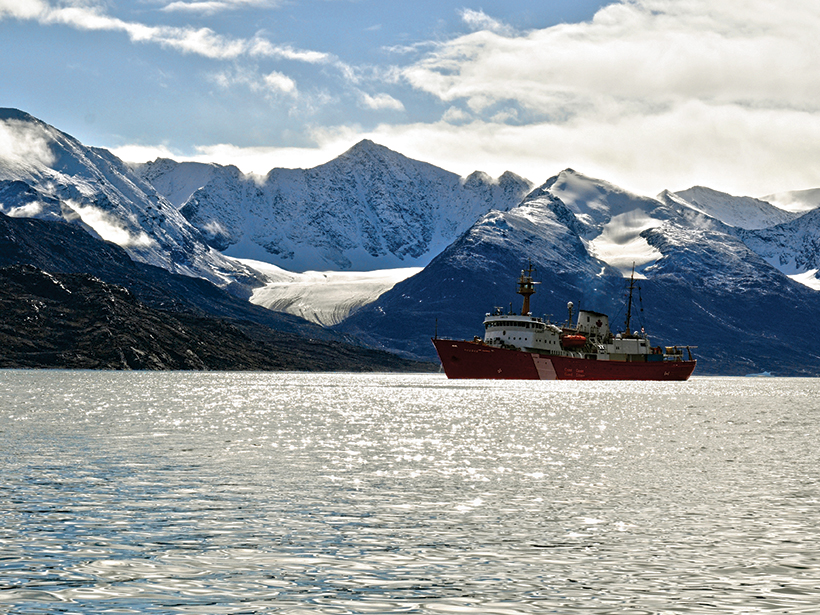
Arctic Glacial Retreat Alters Downstream Fjord Currents
High-resolution mapping efforts could improve predictions of coastal changes as glaciers shrink around the world.
Posted inResearch Spotlights
Tracking Dissolved Organic Matter in Coastal Ecosystems
Dissolved organic matter supports aquatic food webs and holds as much carbon as the atmosphere. A new study tracks which sources and processes play the biggest role in coastal systems.

Posted inNews
New Stamps Tell a Wild and Scenic River Story
The U.S. Postal Service has issued a new set of Forever postage stamps that feature evocative photos of some of the rivers protected by the U.S. National Wild and Scenic Rivers System.
Posted inNews
Where Did All the Free-Flowing Rivers Go?
A map of the world’s free-flowing rivers shows a shrinking number can still meander as they please. New plans for hydropower will further constrain flow.

Posted inEditors' Highlights
Enabling Dynamic, Regional-Scale Modelling of Outburst Floods
The GeoClaw model is used to simulate a landslide-dam outburst flood through rugged Himalayan topography.
Posted inResearch Spotlights
Modeling River Boulders to Improve Hydropower Sustainability
Large stones in streams provide crucial habitat for fish. Modeling the boulders and streamflow offers fresh insights into how water engineering projects alter aquatic habitats.
Posted inResearch Spotlights
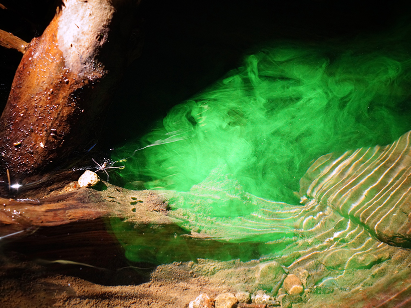
Understanding Stream Metabolism with Reactive Tracers
When the blue dye resazurin encounters living microorganisms, it transforms into fluorescent pink resorufin and helps scientists understand ecosystem respiration, but it has its limitations.

Posted inResearch Spotlights
Antarctica’s Seasonal Streams Contribute Iron to the Ross Sea
Analysis of nutrient concentrations in four streams that discharge to the Southern Ocean indicates they are important sources of iron and phosphorous for coastal phytoplankton communities.