
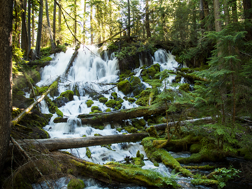
New research finds that man-made river diversions have previously led to land losses.
rivers

Posted inNews
Is Chicago Water Pollution Halting a Silver Carp Invasion?
Pollution is definitely not the solution to stopping invasive silver carp, researchers assert. But cleaner waters could affect the invasion front.
Posted inResearch Spotlights
How Land Use Affects Nutrient Pollution in a Changing Climate
As heavy rain falls more frequently, the land alongside a river has a greater effect on the waterway’s nutrient levels—for better or worse.
Posted inEditors' Highlights
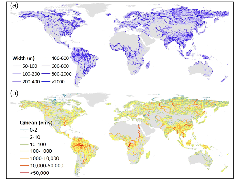
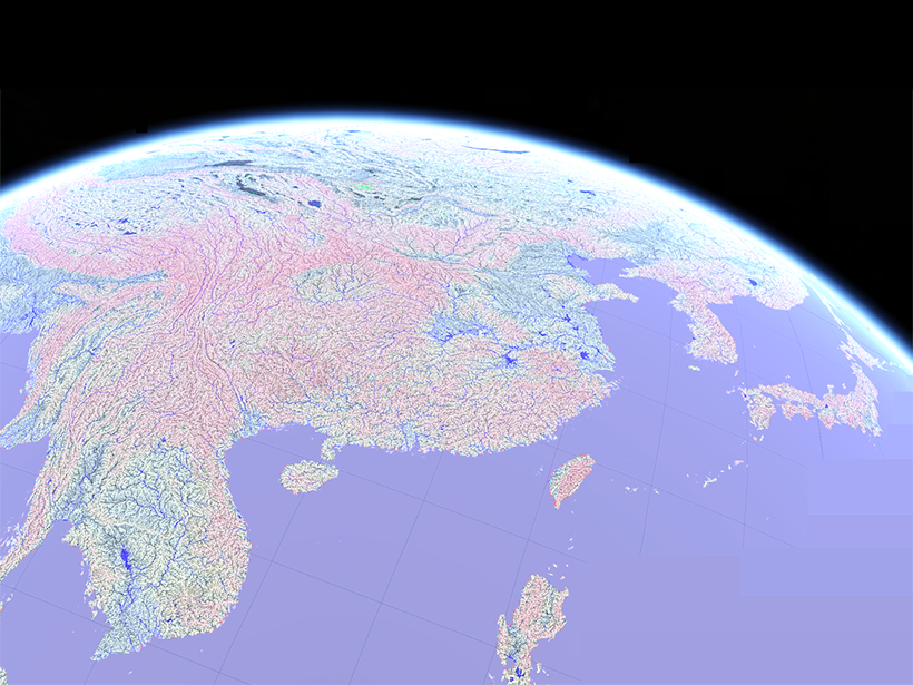
Reconstructing Natural Streamflow at Unprecedented Resolution
A new research effort has mapped 35 years of naturalized streamflow for 2.94 million river reaches worldwide: an invaluable dataset for hydrology, biogeochemistry, ecology, and remote sensing.

Posted inNews
Rivers Are a Highway for Microplastics into the Ocean
New research shows that rivers are the main road for all the plastic pollution that gets into the ocean, including microplastics.
Posted inNews
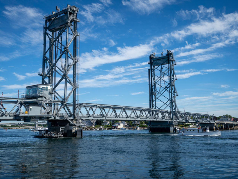
This Bridge Monitors the Environment and Harnesses Tidal Energy
The “smart” Memorial Bridge spanning the Piscataqua is outfitted with a tidal turbine and more than 40 sensors.
Posted inResearch Spotlights
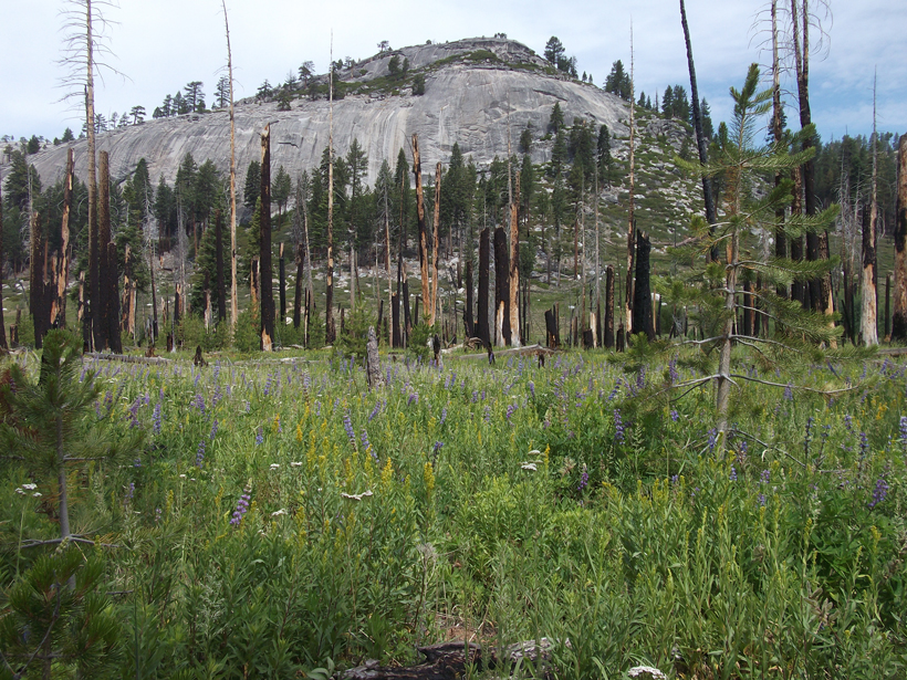
Restoring Natural Fire Regimes Can Yield More Water Downstream
Research in Yosemite National Park offers a new benchmark for understanding water balance changes in a mountainous basin 4 decades after its natural wildfire regime was reestablished.
Posted inResearch Spotlights
Forested Streams May Warm More Than Observations Predict
Understanding how temperatures of cold-water streams respond to global warming could help clarify the impacts of climate change on aquatic ecosystems.
Posted inResearch Spotlights
A More Accurate Global River Map
A new map of global river systems is based on crowdsourcing and the latest topography data sets.
Posted inFeatures
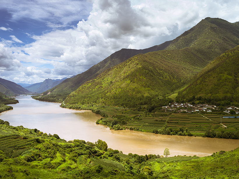
Forgotten Legacies: Understanding Human Influences on Rivers
Logging, urbanization, and dam building are a few ways people have significantly altered natural river ecosystems. Understanding that influence is a grand challenge of our time.