
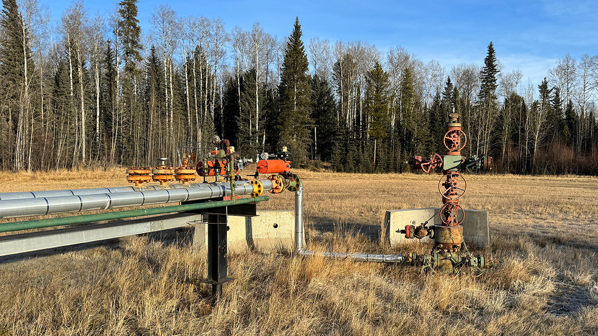
A new study from the U.S. Geological Survey finds that groundwater in Appalachia, the Gulf Coast, and California is susceptible to contamination from orphaned oil and gas wells.
USGS

Posted inResearch & Developments
New U.S. Budget Proposal Slashes Billions in Funds for Science

President Trump’s proposed 2026 budget, released today, slashes non-defense discretionary spending by $163 billion, a 22.6% reduction from 2025.

Posted inNews
Improving Earthquake Early Warning Access for the Deaf Community

Earthquake early warning systems are rarely accessible to people who are deaf or hard of hearing. A group of scientists is working to change that.

Posted inScience Updates
An Unprecedented Experiment to Map Kīlauea’s Summit Magma System
Dozens of researchers deployed nearly 2,000 seismic stations—and a T-Rex—to better illuminate subsurface structure and magma storage below the summit of the highly active volcano.

Posted inFeatures
Cerrando la brecha entre las geociencias y la seguridad nacional
La comunidad de geociencias y las agencias de seguridad nacional necesitan una comunicación efectiva y bidireccional para intercambiar información.

Posted inENGAGE, News
No Canadian Volcanoes Meet Monitoring Standards
A new analysis reveals serious monitoring gaps at even the highest-threat volcanoes.

Posted inNews
Ignored Paths of Uranium Exposure Illuminated by Havasupai Tribe
An agency-tribal partnership is identifying exposure risks previously not considered in mining risk assessments.

Posted inScience Updates
Monitoring Polar Ice Change in the Twilight Zone
Landsat’s new extended data collection program is mapping Arctic and Antarctic regions year-round, even in polar twilight.

Posted inNews
The United States Has an Updated Map of Earthquake Hazards
The new National Seismic Hazard Model shows where damaging earthquakes are likely to occur, informing public safety and infrastructure policies.

Posted inFeatures
Bridging Gaps Between the Geosciences and National Security
The geoscience community and national security agencies need effective, two-way communication to exchange information.