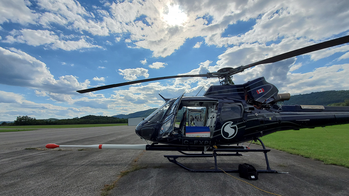
High-resolution airborne radiometric surveys are covering more ground than ever to provide insights into unseen geology, mineral resource potential, and possible health hazards.
USGS
Posted inResearch & Developments
Science Agencies Shuttered in Government Shutdown
At 12:01 a.m. this morning, the U.S. federal government shut down. This shutdown comes after weeks of negotiations and pressure tactics failed to bring Congressional Republicans and Democrats together on a budget for the 2026 fiscal year or a continuing resolution to fund the government for a few more weeks.
Posted inNews
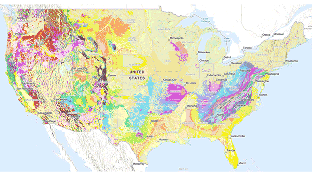
New USGS Map Offers an Interactive Look at the Rocks Beneath Our Feet
The Cooperative National Geologic Map is an interactive tool that builds on both cutting-edge technology and decades of mapping by geoscientists.
Posted inFeatures
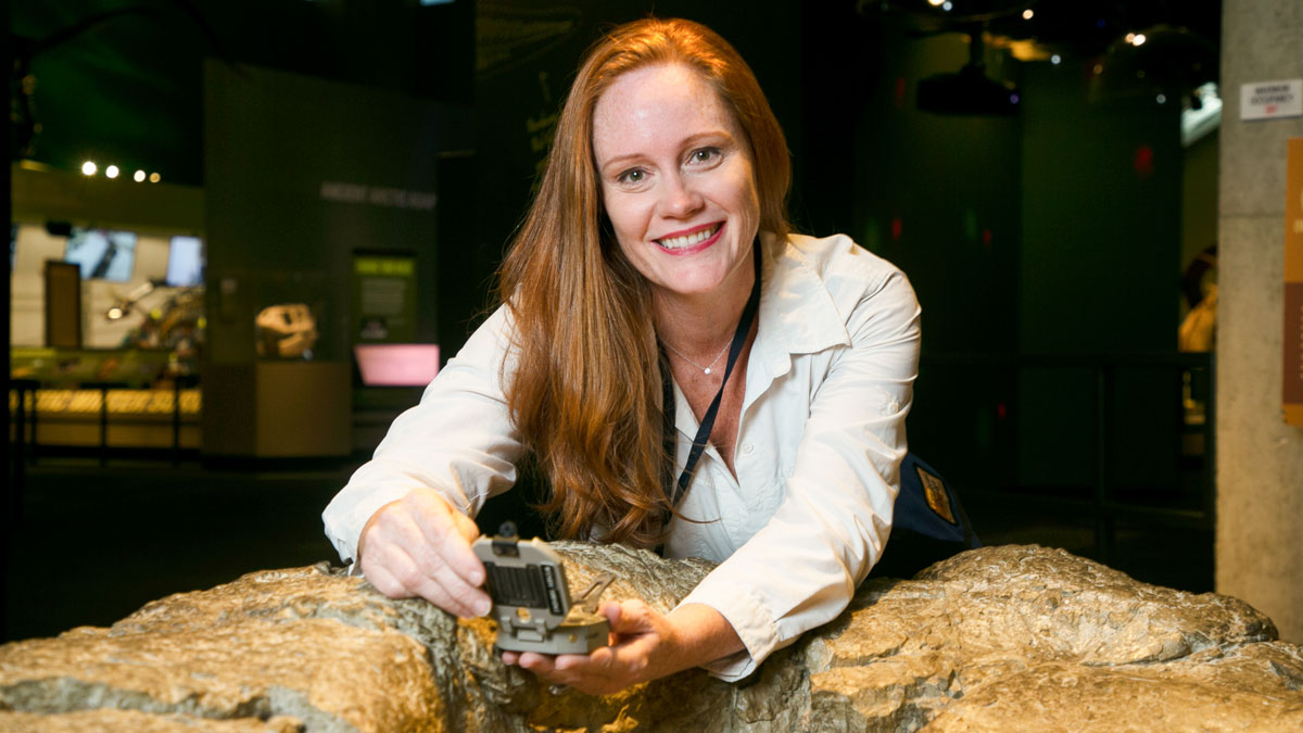
Wendy Bohon: Quelling Fears and Sparking Geoscience Joy
This earthquake enthusiast and science communicator wants you to know that a “whole ecosystem” of scientific careers exists outside of academia.
Posted inFeatures
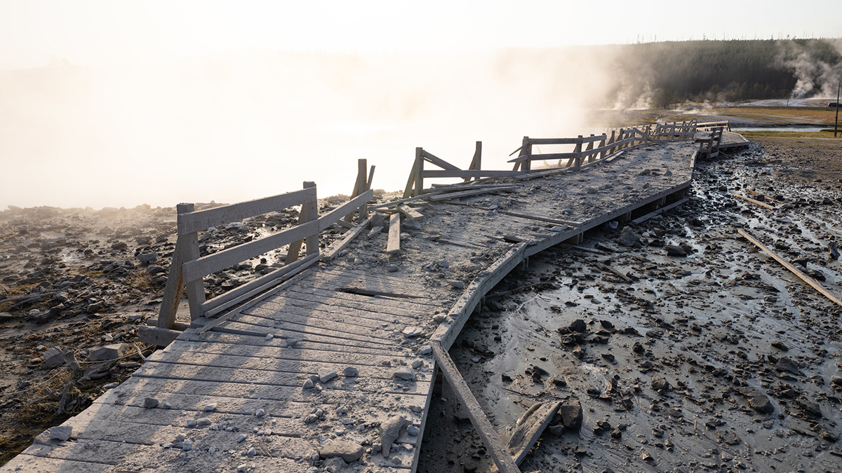
Hydrothermal Hazards on Display in Yellowstone National Park
Tourists and officials were startled by a hydrothermal explosion at Black Diamond Pool in July 2024. Geoscientists are working out how and why it occurred to better understand these hazardous events.
Posted inNews
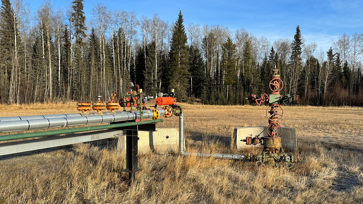
Scientists Map Where Orphan Wells Pose Threats to Aquifers
A new study from the U.S. Geological Survey finds that groundwater in Appalachia, the Gulf Coast, and California is susceptible to contamination from orphaned oil and gas wells.

Posted inResearch & Developments
New U.S. Budget Proposal Slashes Billions in Funds for Science
President Trump’s proposed 2026 budget, released today, slashes non-defense discretionary spending by $163 billion, a 22.6% reduction from 2025.

Posted inNews
Improving Earthquake Early Warning Access for the Deaf Community
Earthquake early warning systems are rarely accessible to people who are deaf or hard of hearing. A group of scientists is working to change that.

Posted inScience Updates
An Unprecedented Experiment to Map Kīlauea’s Summit Magma System
Dozens of researchers deployed nearly 2,000 seismic stations—and a T-Rex—to better illuminate subsurface structure and magma storage below the summit of the highly active volcano.

Posted inFeatures
Cerrando la brecha entre las geociencias y la seguridad nacional
La comunidad de geociencias y las agencias de seguridad nacional necesitan una comunicación efectiva y bidireccional para intercambiar información.