Off the coast of New England and New Jersey, buried beneath the seafloor, lies a huge aquifer of relatively fresh water, according to a new study. The full extent of the aquifer is not yet known, and although it’s unlikely to be an economically viable source of drinking water for the East Coast, its existence points to the possibility of finding fresh water off other coasts, in places where drinking water may be in short supply.
The first clues that the Atlantic margin might be hiding large quantities of fresh water came to light in the 1970s, when offshore oil and gas wells would sometimes hit pockets of fresh water.

“The water was likely deposited during the last ice age,” when the Laurentide ice sheet covered much of what is now New England down to the middle of New Jersey, says Chloe Gustafson, a graduate student in marine geophysics at Columbia University in Palisades, N.Y., and lead author on the new study published in Scientific Reports.
Modeling studies have sought to characterize the size and shape of the Atlantic aquifer, combining offshore observational data with paleo–sea level and ice sheet data, “but there’s a lot of uncertainty with those models,” Gustafson says.
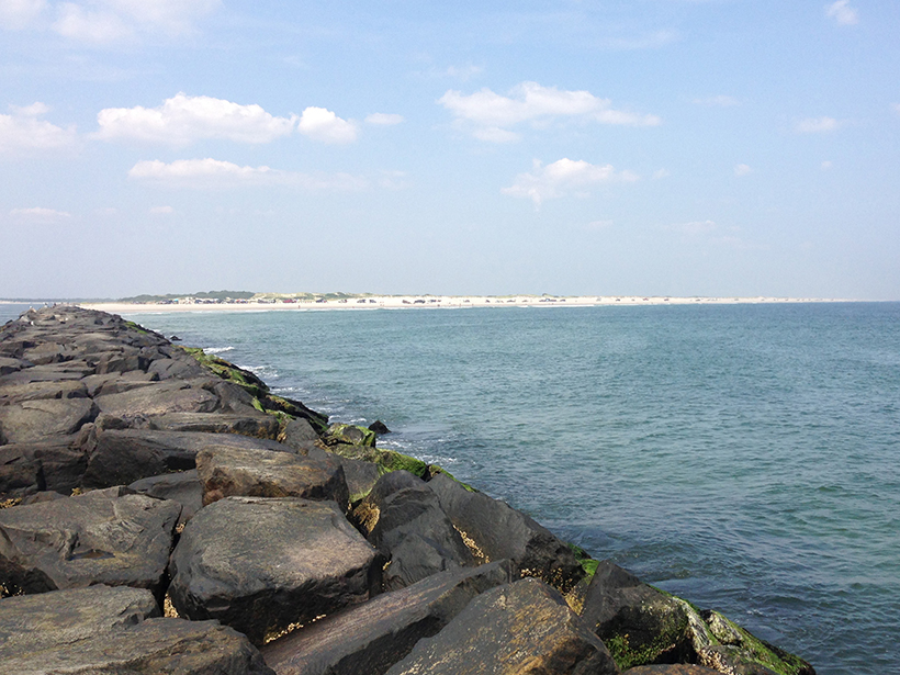
Using new shallow-water electromagnetic geophysical methods, Gustafson and colleagues imaged parts of the aquifer located off the coast of Island Beach, N.J., and Martha’s Vineyard, Mass., on two transects. The team detected zones of high electrical resistivity, a hallmark of fresh water, at depths between 100 and 400 meters and as far as 90 kilometers offshore, out to where the continental shelf drops off into the deeper ocean.
Previous studies have predicted that this fresh water extended to only about 30 kilometers offshore, “but we were able to show that it actually goes out a lot farther,” Gustafson says.
This approach “gives us the clearest picture yet of what’s happening up to 500 meters below the seafloor.”
The new methodology of combining marine magnetotellurics and a controlled source electromagnetic system “is really transformational,” says Mark Person, a hydrologist at the New Mexico Institute of Mining and Technology in Socorro who was not involved with the new study. “Their approach gives us the clearest picture yet of what’s happening up to 500 meters below the seafloor.”
More imaging is needed to further define the size and shape of the aquifer. Fresh water may exist in one large aquifer or a series of smaller pockets, Gustafson says. It’s also unclear how the offshore aquifer is connected to onshore groundwater systems and whether those connections could be recharging the offshore supply.
If the aquifer is found to span the full extent of the area suggested by the study, it may cover more than 350 kilometers of the Atlantic coast from New Jersey to Massachusetts and contain nearly 3,000 cubic kilometers of fresh water, the team wrote. Modeling studies have indicated that it may actually extend much farther to the northeast into Canada, Gustafson says. “I don’t think we have mapped the entire extent of this system yet.”
Value in Imaging Techniques, Not Accessible Fresh Water
But that doesn’t mean it’s a readily accessible supply of drinkable water, says Cliff Voss, a hydrologist with the U.S. Geological Survey in Menlo Park, Calif., who was not involved with the new study.
“The water [in the aquifer] is only relatively fresh; it’s more like half seawater, half fresh water,” Voss says. “To use it, it would have to be desalinated, which is very expensive.” With the additional costs of accessing it and transporting the water, “we’d have to be really hard up for water, and I don’t see that happening on the East Coast of the U.S.”
“In some areas of the world, offshore aquifers could become a critical water supply.”
But the imaging techniques used in the study could be deployed elsewhere in the world, along other passive continental margins, where the seafloor slopes gently away from the coast.
“In some areas of the world, offshore aquifers could become a critical water supply,” Voss says.
Previous drilling and imaging studies have indicated that offshore aquifers may be a common feature of passive margin marine environments, especially those that were covered by glacial ice in the past.
“It’s very likely that similar systems exist on other continental margins, we just need to map them,” Gustafson says. “The more we look, I think the more ice age water we’re going to find.”
—Mary Caperton Morton (@theblondecoyote), Science Writer
Citation:
Morton, M. C. (2019), Huge aquifer imaged off the Atlantic coast, Eos, 100, https://doi.org/10.1029/2019EO129469. Published on 30 July 2019.
Text © 2019. The authors. CC BY-NC-ND 3.0
Except where otherwise noted, images are subject to copyright. Any reuse without express permission from the copyright owner is prohibited.