
The winning photographers, Aji Styawan and Greg Kahn, on opposite sides of the world, captured the stories of the impact of rising sea levels in Indonesia and the United States and the resilience with which communities have responded.
Their local knowledge, individual photographic style and cultural sensitivity shone through to the grant judges. Both reveal restrained emotion and a surreal sense of place.
The landscape, communities, political structures, religions and people these photographers work with are diverse. Their proposals and photography work impressed the jury and embraced the Climate Visuals seven principles for impactful photography.
Drowning Land by Aji Styawan
Indonesia is one of the largest archipelago nations in the world, with more than 17,000 islands. The majority of the small islands are only a meter above sea level. Deforestation, land reclamation and groundwater extraction make these areas even more vulnerable to rising sea levels.
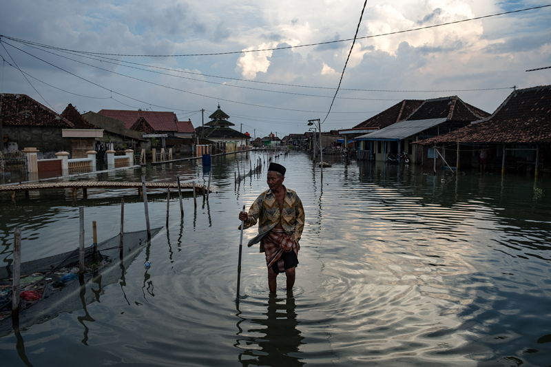
Experts predict that before 2050, thousands of small islands and millions of houses in coastal areas across Indonesia will disappear due to rising sea levels.
Demak is on the northern coast of Central Java, about 300 miles east of Jakarta. More than 500 households have been displaced in the past 20 years.
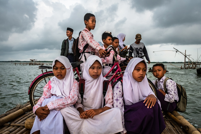
As the sea levels rose, farmland became fish ponds and mangrove forests, which are now also submerged. Today it’s all sea.
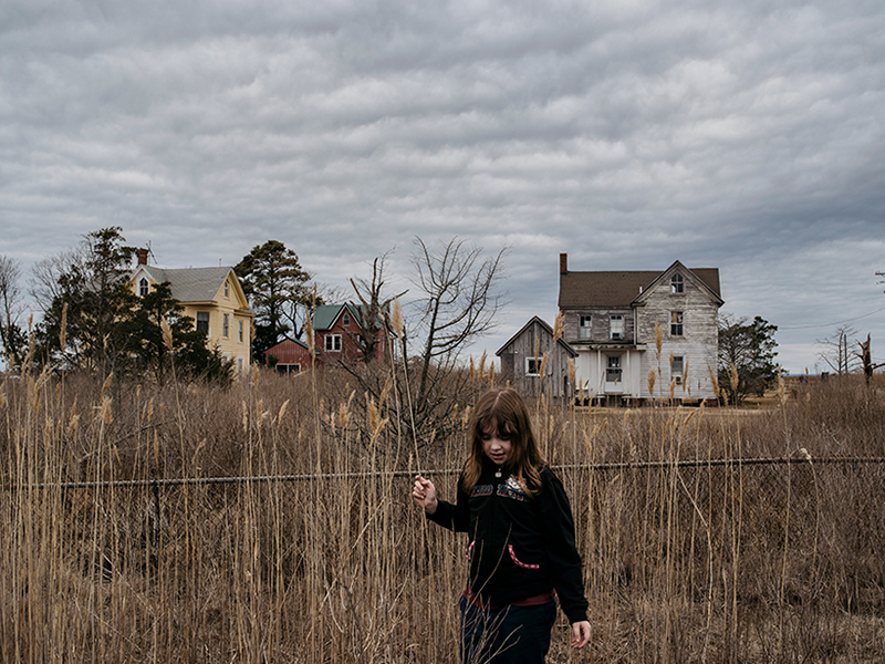
3 Millimeters by Greg Kahn
Three extra millimeters of water every year will make land vanish. It will swallow communities. It will change environmental habitats forever. It will cause record pollution. For townspeople along the inner coastal region of the Chesapeake Bay in Maryland, the impact of sea level rise is no longer an abstract worry debated by politicians. They see the land becoming more saturated beneath their feet. Thirteen of the bay’s southern islands, many of them once inhabited, are gone.
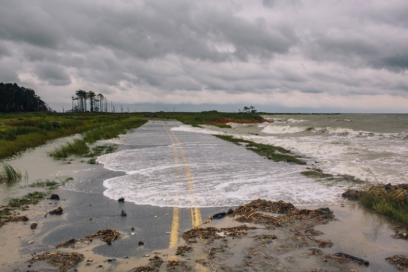
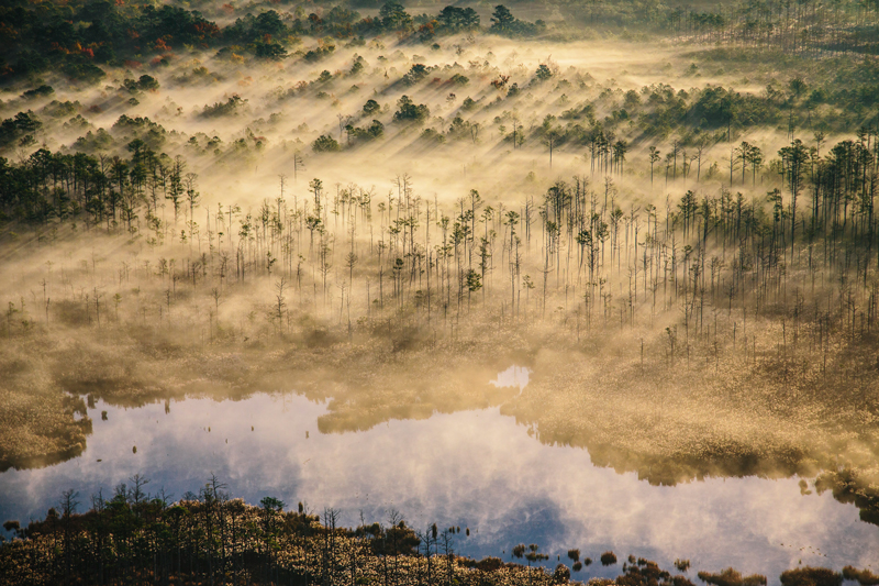
3 Millimeters explores the waterways of Maryland, where, due to the region’s makeup and Atlantic Ocean flow, sea levels are rising twice as fast as the global average and will leap by as much as 5ft by 2100. This will submerge more than 250,000 acres of land, displacing more than half a million people. Farms once fertile and productive now wilt as mounting salinity levels force families to abandon their way of life.
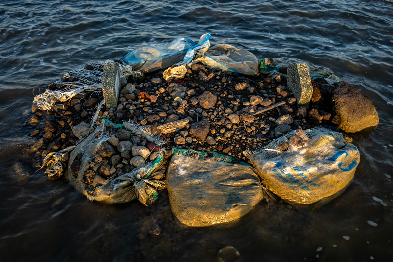
There is nothing to stop Hoopers Island from slowly drowning. Locals point 100 yards into the bay, telling stories of a baseball field where they used to play. Graves containing the island founders, once buffered by a forest, now jut out from an eroding shoreline patched with makeshift rock walls. “I doubt there’ll be any human life here in 100 years,” said Donald Webster, who works for the Maryland Department of Natural Resources.
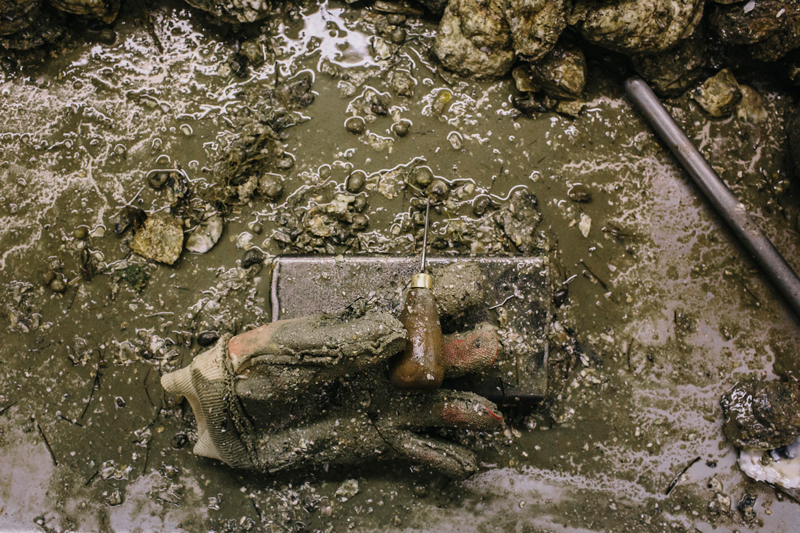
While nothing can reverse rising seas in places like Smith Island, there is hope for others. Gradient sea walls, vegetation renourishment and public education are all trying to preserve natural habitat and homes along the coast. The hope is that it will stop erosion as well as maintain habitat for sealife such as horseshoe crabs and terrapins.
—The Guardian
This story originally appeared in The Guardian. It is republished here as part of Eos’s partnership with Covering Climate Now, a global journalism collaboration committed to strengthening coverage of the climate story.