
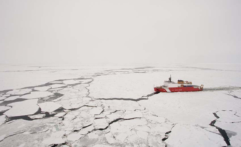
Today the Bering Strait is a narrow and shallow waterway—about 85 kilometers (53 miles) wide and 40 meters (130 feet) deep—that separates Russia and Alaska and connects the Pacific and Arctic oceans. But for a portion of its history, the region was an overland gateway between continents. The so-called Bering Land Bridge may have been a route by which people first came to North America from Asia. Using novel methodology, researchers have pinpointed the timing of the Bering’s transition from surf to turf. They found that the Bering Land Bridge did not emerge until about 36,000 years ago—much later than previously thought.
During the peak of the last ice age, from about 26,500 to 19,000 years ago, enough water was locked up in glacial ice that global sea level was about 130 meters (425 feet) lower than it is today. The Bering Strait had disappeared, and a land bridge had emerged in its place. When the ice sheets melted around 13,000–11,000 years ago, the Bering Strait filled back up with water.
It wasn’t the first time that ice had sucked up the sea. Vast ice sheets have grown and retreated many times over the past 2.5 million years. But looking beyond the last ice age, it becomes difficult for paleoscientists to study the Bering Strait’s comings and goings. “Ice sheets are kind of like bulldozers,” explained Tamara Pico, a sea level expert at the University of California, Santa Cruz. “As they grew to the Last Glacial Maximum, they destroyed the evidence.”
Fortunately, a unique chemical signature, buried in sea sediments, allowed researchers to reconstruct the Bering Strait’s flooding history.
Submerged Evidence
Nitrogen that flows into the Arctic Ocean from the Pacific Ocean via the Bering Strait has a unique “fingerprint,” said Jesse Farmer, a climate scientist at the University of Massachusetts Boston. Its ratio of heavier to lighter isotopes makes it look “way different from any other nitrogen that’s coming into the Arctic Ocean.” This telltale ratio gets preserved in plankton remains on the seafloor. When it appears in Arctic sediment cores, it’s a clear signal that water was flowing through the Bering Strait at the time that the plankton were living.
“Based on what I knew about sea level, it was such a wild idea.”
Farmer and his colleagues analyzed sediment cores from the western Arctic Ocean dating back nearly 50,000 years, collected by the U.S. Geological Survey on a 1994 expedition. Previous sea level reconstructions suggested that the Bering Land Bridge first appeared about 70,000 years ago. But the first core Farmer’s team looked at indicated that the Bering Strait was still flooded until about 36,000 years ago. Surprised, they looked at two more sediment cores—all three Arctic sample sites showed the same thing. “Based on what I knew about sea level, it was such a wild idea,” said Farmer. “We needed not just replication, but triplication.”
The timeline outlined by the study is significant because scientists typically think of glacial cycles as following a “sawtooth” pattern, Pico said. Ice builds up slowly and steadily, the thinking goes, followed by a rapid melting period. But the Bering Land Bridge appeared surprisingly close to the Last Glacial Maximum, which means that sea level dropped—and ice sheets grew—more quickly than the canonical sawtooth pattern would predict. Even though global temperatures had cooled, there was a lag before the ice sheets formed.
“That suggests that ice sheets are more dynamic than we might have thought,” Pico said. The team published its findings in the Proceedings of the National Academy of Sciences of the United States of America.
“It’s not just an oceanography story.”
The discovery that the Pacific and the Arctic were actually connected, and exchanging nutrients, during a time frame when scientists assumed they were not has many implications for understanding the Arctic Ocean’s history, Farmer said. That includes the human element—a shorter-lived Bering Land Bridge might mean a narrower window in which overland migration to North America could have happened. “[The study is] fascinating, because it’s so interdisciplinary,” said Farmer. “It’s not just an oceanography story.”
The findings are “impressive,” said Julie Brigham-Grette, an Arctic climate expert at the University of Massachusetts Amherst who was not involved with the study. But she cautioned against jumping to conclusions about human migration. “The peopling of Alaska and North America was not strictly about sea level, given that early peoples were fantastic coastal mariners,” she said. “I look forward to a continuing dialogue blending the sea level history with the archaeological evidence.”
Farmer agreed that there’s more work to be done. “This is the beginning,” he said.
—Clara Chaisson, Science Writer