• About
  • Special Reports
  • Topics
    • Climate
    • Earth Science
    • Oceans
    • Space & Planets
    • Health & Ecosystems
    • Culture & Policy
    • Education & Careers
    • Opinions
  • Projects
    • Postcards From the Field
    • ENGAGE
    • Editors’ Highlights
    • Editors’ Vox
    • Eos en Español
    • Eos 简体中文版
    • Print Archive: 2015–2025
  • Policy Tracker
  • Blogs
    • Research & Developments
    • The Landslide Blog
  • Newsletter
  • Submit to Eos
  • AGU.org
  • Career Center
  • Join AGU
  • Give to AGU
  • About
  • Special Reports
  • Topics
    • Climate
    • Earth Science
    • Oceans
    • Space & Planets
    • Health & Ecosystems
    • Culture & Policy
    • Education & Careers
    • Opinions
  • Projects
    • Postcards From the Field
    • ENGAGE
    • Editors’ Highlights
    • Editors’ Vox
    • Eos en Español
    • Eos 简体中文版
    • Print Archive: 2015–2025
  • Policy Tracker
  • Blogs
    • Research & Developments
    • The Landslide Blog
  • Newsletter
  • Submit to Eos
Skip to content
  • AGU.org
  • Career Center
  • Join AGU
  • Give to AGU
Eos

Eos

Science News by AGU

Support Eos
Sign Up for Newsletter
  • About
  • Special Reports
  • Topics
    • Climate
    • Earth Science
    • Oceans
    • Space & Planets
    • Health & Ecosystems
    • Culture & Policy
    • Education & Careers
    • Opinions
  • Projects
    • Postcards From the Field
    • ENGAGE
    • Editors’ Highlights
    • Editors’ Vox
    • Eos en Español
    • Eos 简体中文版
    • Print Archive: 2015–2025
  • Policy Tracker
  • Blogs
    • Research & Developments
    • The Landslide Blog
  • Newsletter
  • Submit to Eos

paleoclimatology & paleoceanography

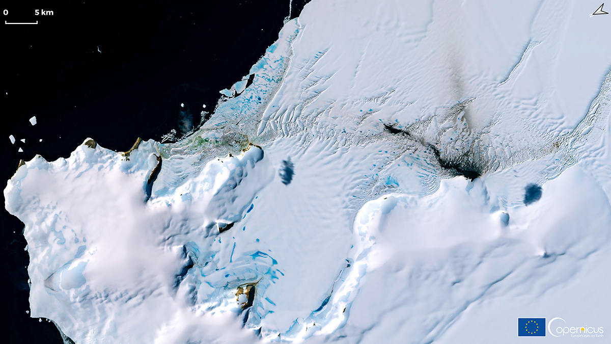
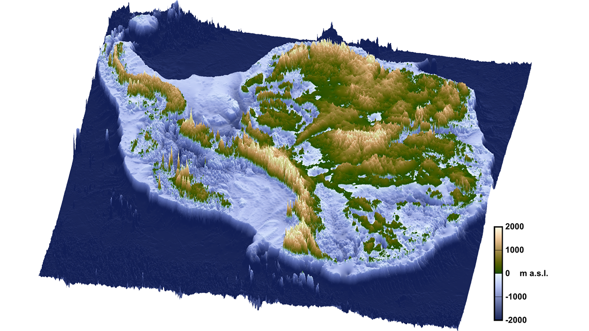
A map shows the topography of Antarctica under its ice sheets. Elevations range from 2,000 meters below sea level to 2,000 meters above sea level.
Posted inNews

The Breakup of Gondwana Over 100 Million Years Ago May Be Why Antarctica Has Ice Today

by Grace van Deelen 2 July 20262 July 2026

A rift event set off a domino effect of geologic processes that created conditions ripe for Antarctica’s glaciation, a new study suggests.

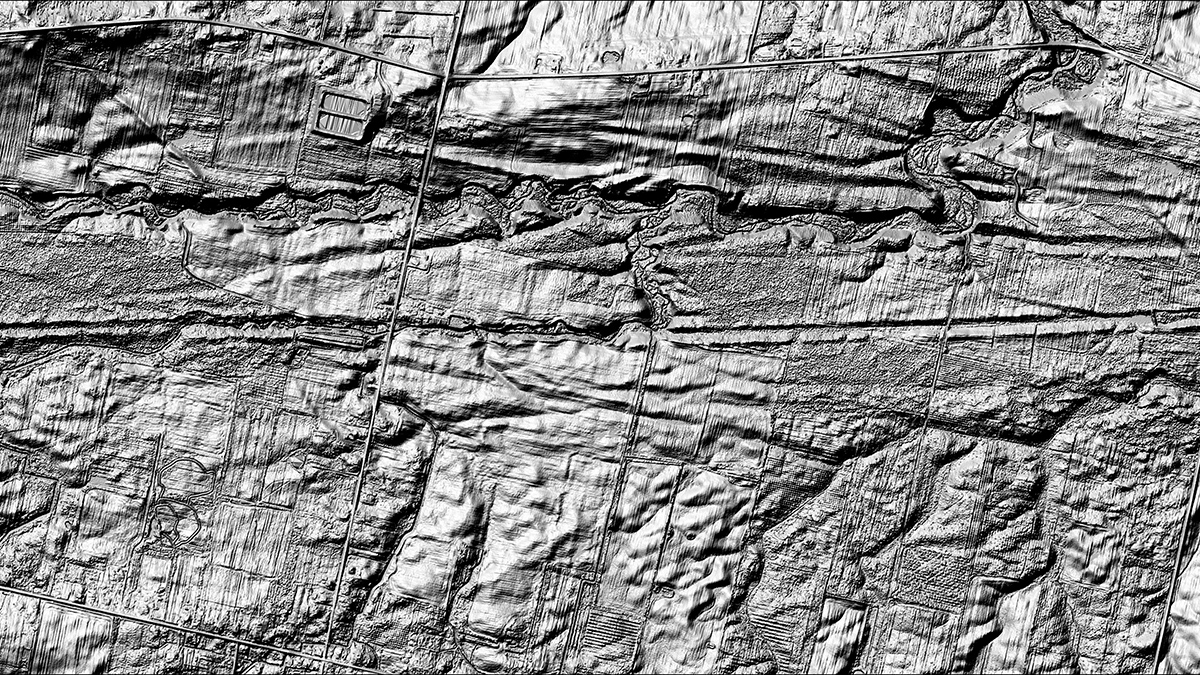
A black-and-white image shows long grooves carved into a landscape.
Posted inNews

Iceberg Scours Reveal Ancient Wind Patterns

Katherine Kornei, Science Writer by Katherine Kornei 23 June 202623 June 2026

Scour marks left by icebergs that ran aground thousands of years ago record the winds blowing off the Laurentide Ice Sheet.

The gentle green slopes of a mountain range with a small field camp nestled at the base.
Posted inNews

Mongolian Mountains Rose When the Crust Bounced Back

Kimberly M. S. Cartier, News Writing and Production Intern for Eos.org by Kimberly M. S. Cartier 15 May 202618 May 2026

A plate folded, the lithosphere sank, and up popped a mountain range.

An aerial view of the Southern Ocean and coastline of Antarctica, which is a brown landmass mostly covered in snow
Posted inNews

Widening Channels and Westerly Winds Together Formed Earth’s Strongest Current

by Grace van Deelen 24 April 20261 May 2026

The Antarctic Circumpolar Current could only develop once wind patterns aligned with new ocean passages 34 million years ago, a new study suggests.

Photo of Sarah Feakins in a lab.
Posted inEditors' Vox

Introducing the New EIC of Paleoceanography and Paleoclimatology

by Sarah Feakins 12 March 202612 March 2026

We are delighted to announce that Sarah Feakins has just taken over as Editor-in-Chief of Paleoceanography and Paleoclimatology.
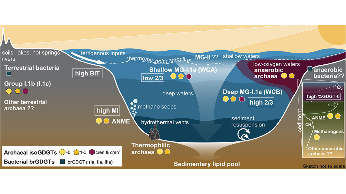
The back deck of a boat as it moves through the ocean.
Posted inNews

The AMOC of the Ice Age Was Warmer Than Once Thought

by Grace van Deelen 10 February 202610 February 2026

An analysis of sediment cores indicates that North Atlantic waters were relatively warm and continued to circulate even under major climate stress during the Last Glacial Maximum.

A frozen lake in Antarctica has a blue surface crisscrossed by lines. Behind it is a glacier, a mountain, and a blue sky.
Posted inNews

Snowball Earth’s Liquid Seas Dipped Way Below Freezing

by Elise Cutts 4 February 20262 March 2026

Iron isotopes show that salty seawater pockets beneath the ice were as cold as −15°C.

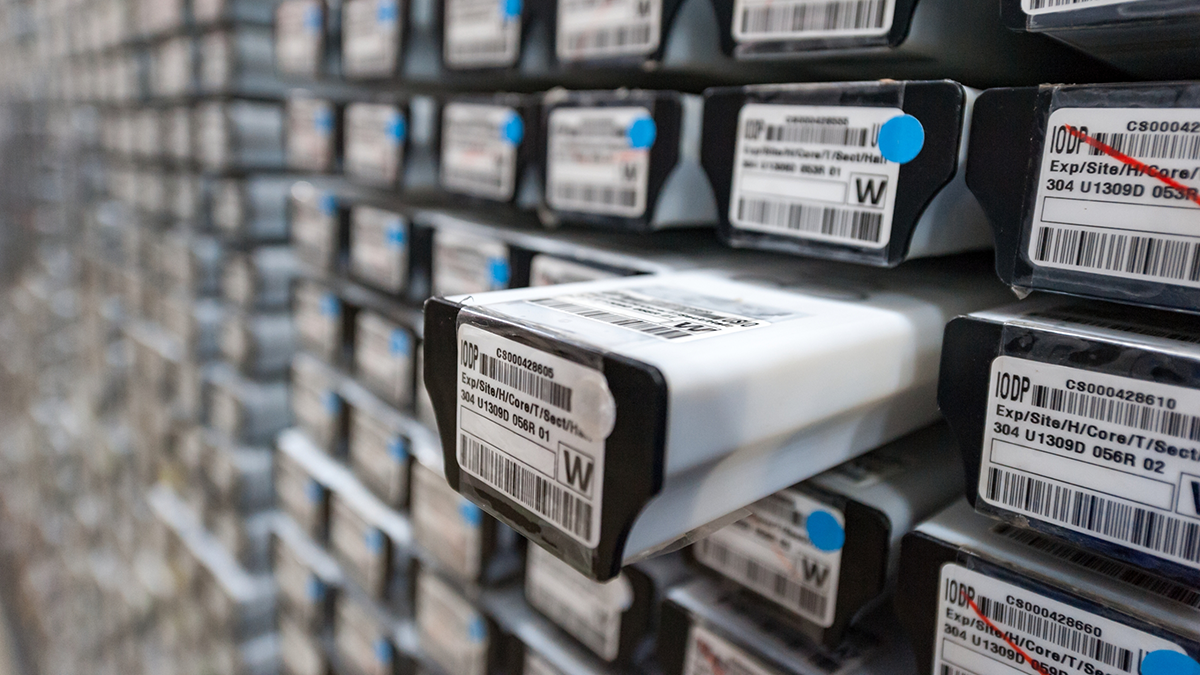
A black-and-white image shows the ends of dozens of soil cores, stored in a wall. A few of the slots are empty.
Posted inNews

How the Rise of a Salty Blob Led to the Fall of the Last Ice Age

by Emily Gardner 2 February 20262 March 2026

Scientists have long suspected that high salinity levels in the deep ocean were responsible for keeping carbon dioxide locked away during the last ice age. New research finds the strongest evidence yet.

Diagram from the study.
Posted inEditors' Highlights

Successful Liquid Lake Conditions in a Cold Martian Paleoclimate

by Alberto Montanari 8 January 20268 January 2026

Simulations from a new lake model explain how liquid water could have been maintained over Mars in a cold climate, thus resolving a critical scientific gap in our understanding of Mars’ early history.

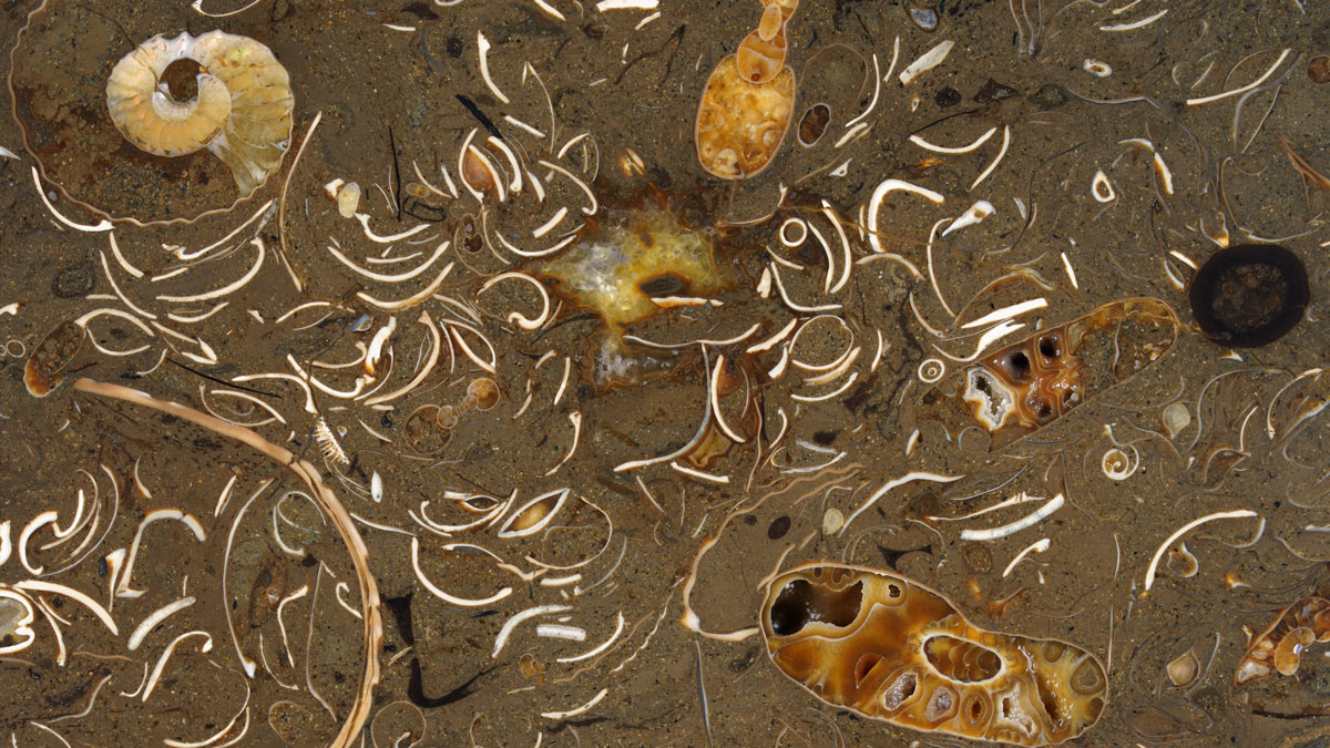
Microscopic marine algae known as coccolithophores covered in calcium carbonate shells.
Posted inResearch Spotlights

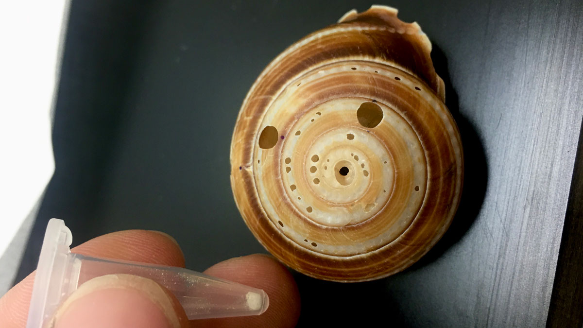
How a Move to the Shallows 300,000 Years Ago Drove a Phytoplankton Bloom

by Nathaniel Scharping 5 January 20265 January 2026

And what that could mean for today’s ocean.

Posts pagination

1 2 3 … 33 Older posts
Over a dark blue-green square appear the words Special Report: The State of the Science 1 Year On.

Features from AGU Publications

Research Spotlights

Forty Thousand Cubic Meters of Fresh Water Flow from the Congo into the Atlantic Every Second. A New Study Traces Where It Goes from There.

2 July 20262 July 2026
Editors' Highlights

Fluid-Driven Reactions Restore Fault Strength Between Earthquakes

30 June 202630 June 2026
Editors' Vox

Small-Scale Indian Ocean Dynamics Underpin Marine Ecology and Climate

4 June 20263 June 2026
Eos logo at left; AGU logo at right

About Eos
ENGAGE
Awards
Contact

Advertise
Submit
Career Center
Sitemap

© 2026 American Geophysical Union. All rights reserved Powered by Newspack