In Malaysian Borneo, demand for timber, land, and palm oil has caused profound levels of deforestation. But the lack of historic data on the region’s rainforests has left scientists without much understanding of these forests’ baseline—what did they look like before industrial logging began?
Researchers have now found records hidden in an unexpected place. A new study, published in Scientific Reports, used corals from three reefs off the coast of Malaysian Borneo to build a timeline of deforestation and erosion on the island. The timeline provides valuable information for researchers and policymakers about how coral reefs are affected by deforestation as well as what Malaysian forests looked like in Earth’s past.
The study “allows us to have an idea of what the system looked like when it was relatively undisturbed,” said Walid Naciri, a geologist and lead author of the new study; he completed the research during his doctoral studies at the University of Leicester in the United Kingdom.
Coral Clues
Scientists can track deforestation trends with satellite imagery, but no such records exist before the onset of the satellite era around 1973.
Corals can be used as a proxy: They build themselves in alternating dark and light bands that, like trees, correspond to seasonal changes. As they grow, they absorb elements from seawater.
Corals’ ratio of barium, an element mostly found on land, to calcium, a common element in the ocean, can indicate the sediment content in river discharge that has reached a reef. Increased river discharge is an indicator of excess erosion, a consequence of deforestation. By analyzing the ratio of barium to calcium in a given band, scientists can determine the seawater composition in a given year.
“It’s a very well known impact of deforestation that you have less soil stability and more soil erosion ultimately arriving into the coastal ecosystem.”
Previous work by Naciri indicated that the barium-calcium ratio in corals matched river discharge data from the Baram River in Malaysian Borneo from 1985 to 2015. “We thought, okay, this is a pretty good analogue…so let’s have a look at the entirety of the record,” Naciri said.
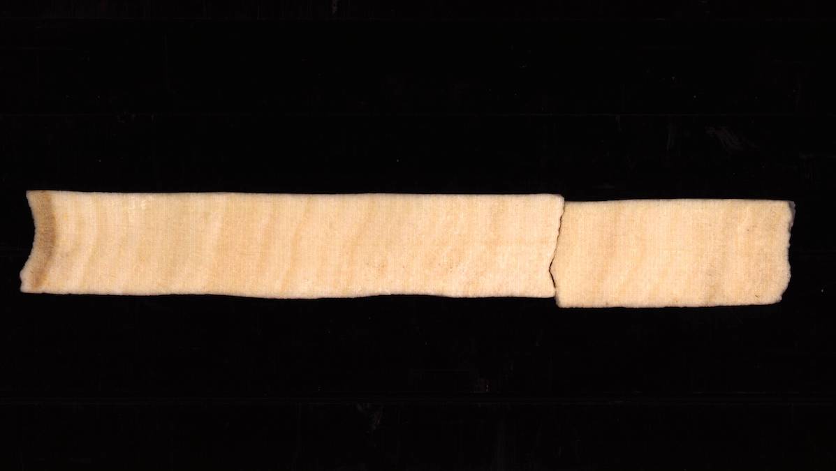
The research team wanted to see whether they could use that ratio to construct a record of deforestation before 1985. They selected three separate reefs in the Miri-Sibuti Coral Reef National Park off the coast of Borneo. The three reefs, named Eve’s Garden, Anemone Garden, and Siwa, were located at different distances from the main sources of sediment: the Baram and Miri Rivers.
The team took cores of each reef and analyzed the ratios of barium to calcium. The resulting records were almost exactly what Naciri expected—cores from each of the three reefs showed a relatively flat trend until barium spiked beginning in the mid-20th century. The spike showed up later in the reefs farther from the island.
“We were pretty sure this was due to deforestation, because it’s a very well known impact of deforestation that you have less soil stability and more soil erosion ultimately arriving into the coastal ecosystem,” Naciri said. “But we needed a bit more proof.”
The team found archival forestry records that matched the mid-20th-century spike, indicating that the onset of industrial deforestation occurred around 1955. A previous analysis of land use across all of Southeast Asia from 1700 to 1990 showed a similar trend.
Naciri and his colleagues also ruled out other potential causes of the barium spike. They analyzed seawater at various distances from the Baram River to show that the barium was coming from the river rather than from leaching groundwater, for example.
The study’s authors did careful analytical work to rule out other interpretations of the data, said Dominik Fleitmann, a paleoclimatologist at the University of Basel in Switzerland who was not involved in the new study. Having three sites at varying distances from the island “adds confidence to the general reconstruction,” he said.
The Far-Reaching Effects of Deforestation
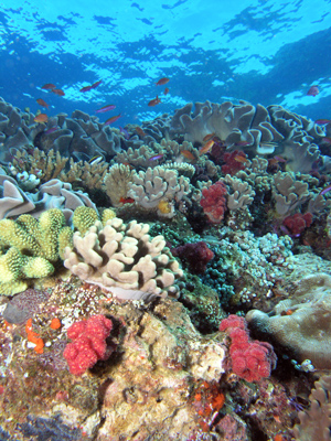
The findings highlight how the impacts of on-land ecosystem degradation trickle down to coral ecosystems. Coral reefs rely on photosynthesis. Any influx of sediment into a reef clouds the water and harms coral’s ability to grow and even affects its ability to fight off diseases.
“This is one more impact of deforestation that is really not talked about.”
“This is one more impact of deforestation that is really not talked about,” Naciri said.
He urged other scientists studying deforestation to think outside of their usual study spaces and consider how marine ecosystems might be affected. “It’s an even worse problem than we think it is,” he said.
Fleitmann said the results clearly show that “we are well above the natural variability in terms of soil erosion increases” and that the data could be useful to show policymakers the impacts of deforestation.
The study could also be the beginning of a larger network of coral cores that could be used to build a more systematic reconstruction of deforestation records across larger areas of interest, such as the Australian or East African coast, he said. “What is the natural baseline, and how far away are we?”
—Grace van Deelen (@gvd.bsky.social), Staff Writer