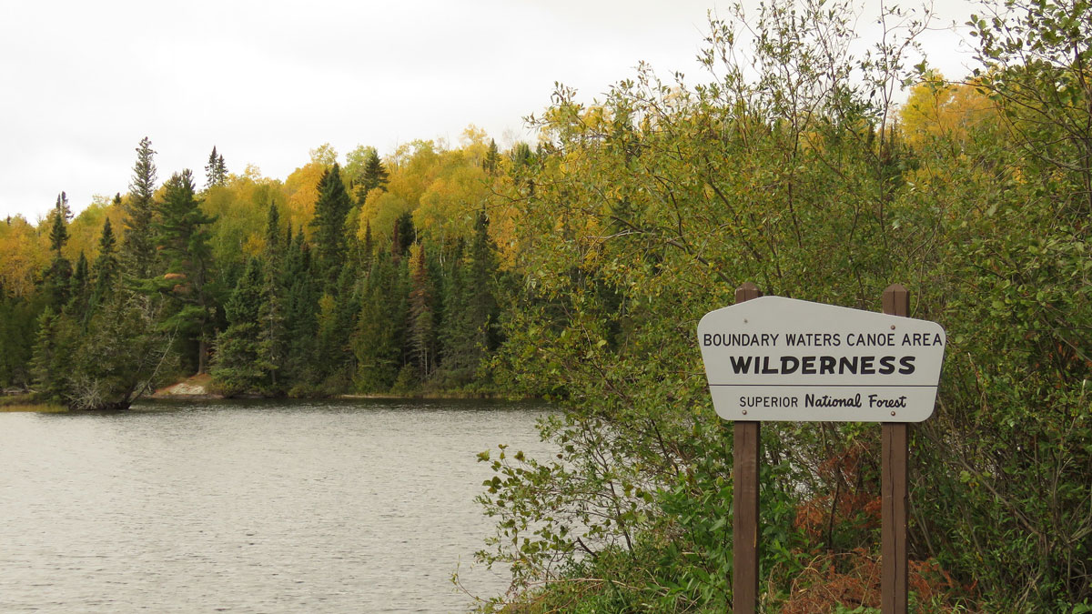
A continental rift created valuable mineral deposits beneath a remote wilderness beloved by recreationists.
forests
Posted inThe Landslide Blog
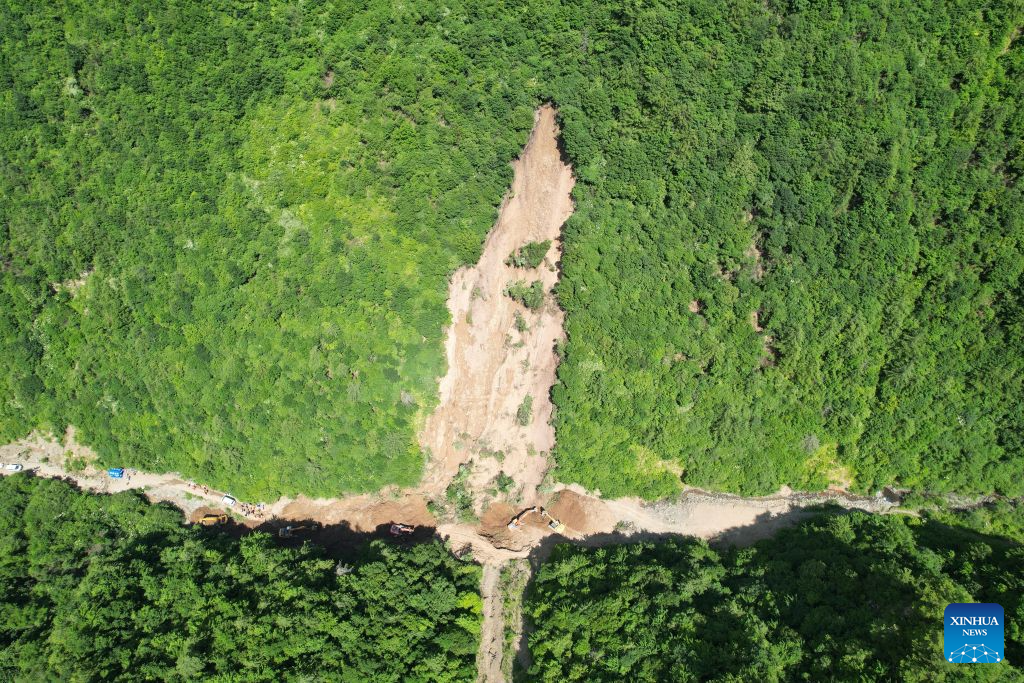
The 7 July 2026 landslide at Renzang Village in Longnan City, Gansu Province, China
A major landslide in China yesterday killed 21 forestry workers. Satellite imagery suggests that the slope showed signs of disturbance before the failure. On 7 July 2026, a major landslide struck Renzang Village, which is located in the administrative area of Nanhe Township in Longnan City, Gansu Province, China. Xinhua reports that 33 people were […]
Posted inNews
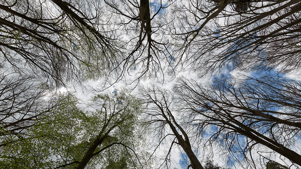
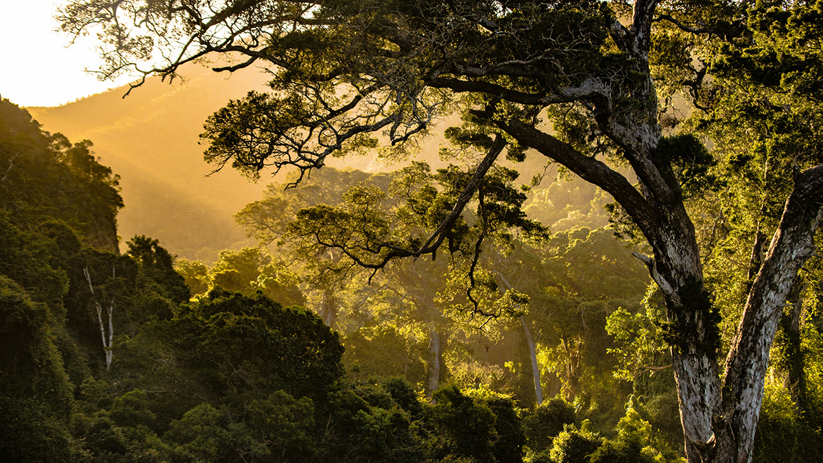
Fragmented Forests Sequester Less Carbon
New research has revealed that larger, unified forests store more carbon than the same area of fragmented patches.

Posted inNews
Climate Extremes May Be Reshaping Monkeys’ Social Structures
Large groups have their pros and cons. But a changing climate may push them off balance.
Posted inResearch Spotlights
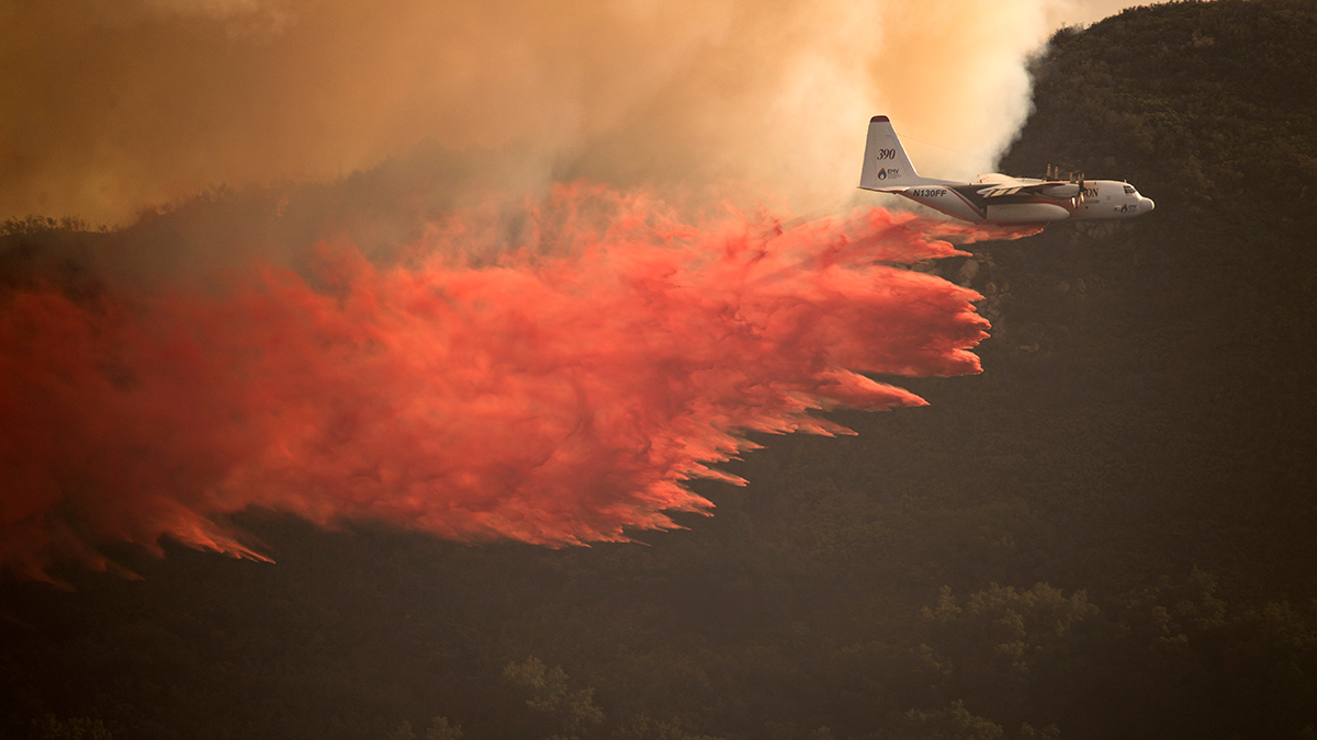
As Wildfires Increase in the West, So Does Suppression Spending
A new study projects the intertwined relationship between fires and the money spent fighting them.
Posted inResearch Spotlights
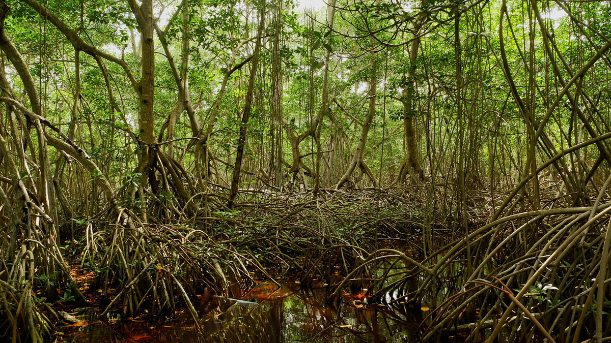
Mangroves May Be Losing Their Grip on Carbon Storage as Sea Levels Rise
Locally, mangroves can sometimes adapt to rising seas, but global trends look troubling.
Posted inNews
Location, Location, Location: The “Where” of Reforestation May Matter More Than the Extent
A new study finds that focusing reforestation efforts in strategic locations, such as the tropics, can accomplish global cooling levels comparable to less strategic reforestation efforts covering twice as much area.
Posted inThe Landslide Blog
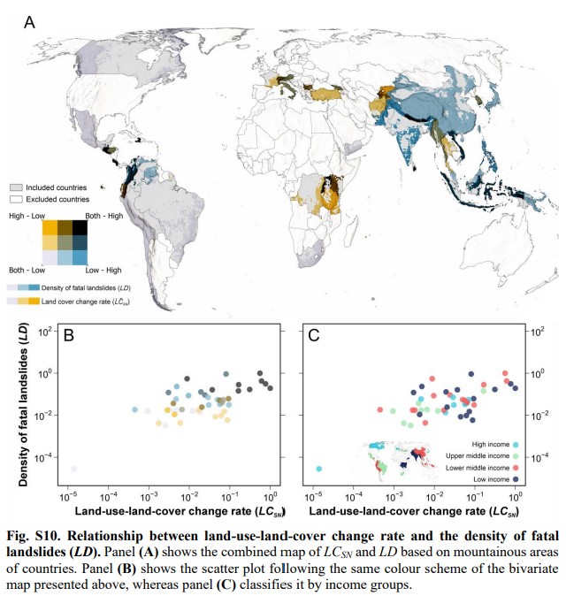
Wealth and land-cover change govern landslide fatalities on world’s mountains
A new paper Fidan et al. (2026) demonstrates that wealth and the rate of land-cover change play a key role in determining the occurrence of fatal landslides in mountain areas. These factors are statistically more significant that precipitation and topography. A fascinating new paper (Fidan et al. 2026 – this paper is both open access […]
Posted inScience Updates
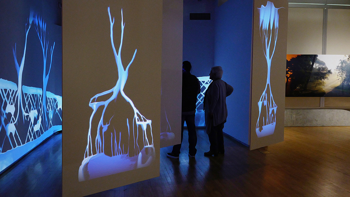
An Art-Science Partnership Offering New Views of Dynamic Landscapes
The immersive and interactive WILDLAND exhibition allowed the public—and the exhibition’s creators—to explore connections among water, trees, fire, and other natural and human-made materials expressed across a spectrum of artistic approaches.
Posted inOpinions
Poor Health and Systemic Inequity Fuel Environmental Harm
Environmental degradation poses well-established risks to human health. But the relationship between the two isn’t a one-way street.