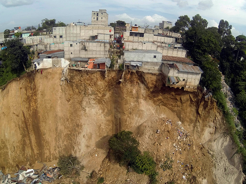
Advances in satellite imaging, mapping, and rainfall estimations have made it possible to implement a regional real-time assessment of landslide hazard threats across Central America.

Advances in satellite imaging, mapping, and rainfall estimations have made it possible to implement a regional real-time assessment of landslide hazard threats across Central America.