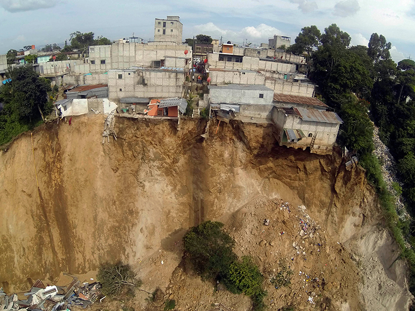
Advances in satellite imaging, mapping, and rainfall estimations have made it possible to implement a regional real-time assessment of landslide hazard threats across Central America.
RESEARCH SPOTLIGHTS
JGR: Solid Earth
“New Tectonic Plate Model Could Improve Earthquake Risk Assessment”
By Morgan Rehnberg
EDITORS' HIGHLIGHTS
AGU Advances
“Eminently Complex – Climate Science and the 2021 Nobel Prize”
By Ana Barros
EDITORS' VOX
Perspectives of Earth and Space Scientists
“New Directions for Perspectives of Earth and Space Scientists”
By Michael Wysession