• About
  • Sections
  • Topics
    • Climate
    • Earth Science
    • Oceans
    • Space & Planets
    • Health & Ecosystems
    • Culture & Policy
    • Education & Careers
    • Opinions
  • Projects
    • ENGAGE
    • Editors’ Highlights
    • Editors’ Vox
    • Eos en Español
    • Eos 简体中文版
    • Print Archive
  • Science Policy Tracker
  • Blogs
    • Research & Developments
    • The Landslide Blog
  • Newsletter
  • Submit to Eos
  • AGU.org
  • Career Center
  • Join AGU
  • Give to AGU
  • About
  • Sections
  • Topics
    • Climate
    • Earth Science
    • Oceans
    • Space & Planets
    • Health & Ecosystems
    • Culture & Policy
    • Education & Careers
    • Opinions
  • Projects
    • ENGAGE
    • Editors’ Highlights
    • Editors’ Vox
    • Eos en Español
    • Eos 简体中文版
    • Print Archive
  • Science Policy Tracker
  • Blogs
    • Research & Developments
    • The Landslide Blog
  • Newsletter
  • Submit to Eos
Skip to content
  • AGU.org
  • Career Center
  • Join AGU
  • Give to AGU
Eos

Eos

Science News by AGU

Support Eos
Sign Up for Newsletter
  • About
  • Sections
  • Topics
    • Climate
    • Earth Science
    • Oceans
    • Space & Planets
    • Health & Ecosystems
    • Culture & Policy
    • Education & Careers
    • Opinions
  • Projects
    • ENGAGE
    • Editors’ Highlights
    • Editors’ Vox
    • Eos en Español
    • Eos 简体中文版
    • Print Archive
  • Science Policy Tracker
  • Blogs
    • Research & Developments
    • The Landslide Blog
  • Newsletter
  • Submit to Eos

C. Berndt

ORCID ID: 0000-0001-5055-0180

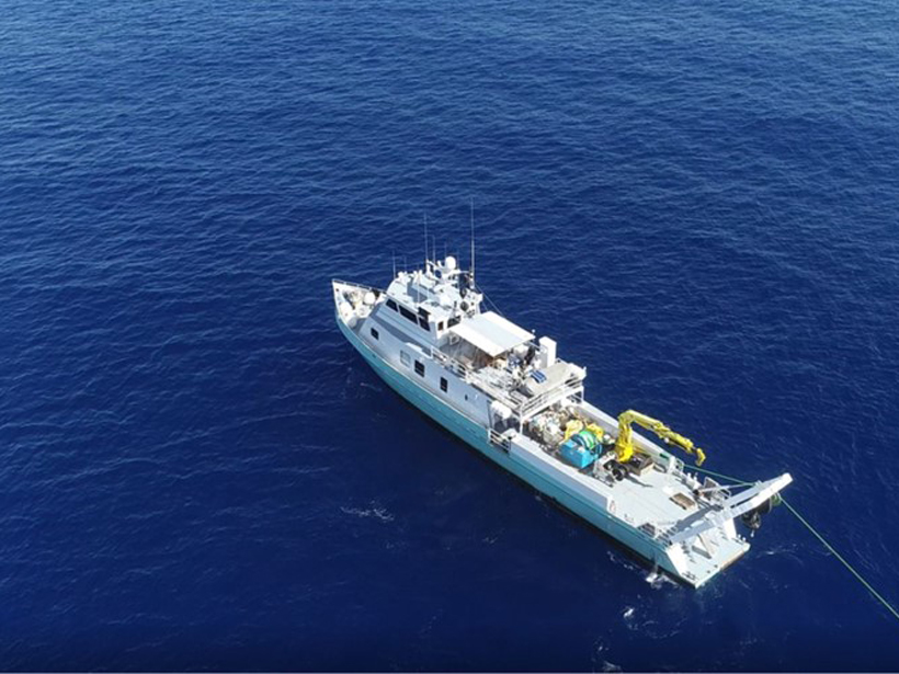
Drone photograph of research vessel offshore Malta collecting geophysical data to map offshore freshened groundwater systems
Posted inEditors' Vox

Freshened Groundwater in the Sub-seafloor

by A. Micallef, M. Person, C. Berndt, Claudia Bertoni, A. Haroon, R. Martin-Nagle, T. Müller and E. Trembath-Reichert 11 January 202130 March 2023

Scientists are using a variety of geochemical, geophysical, and numerical methods to study offshore freshened groundwater and better understand its role in the global water cycle.

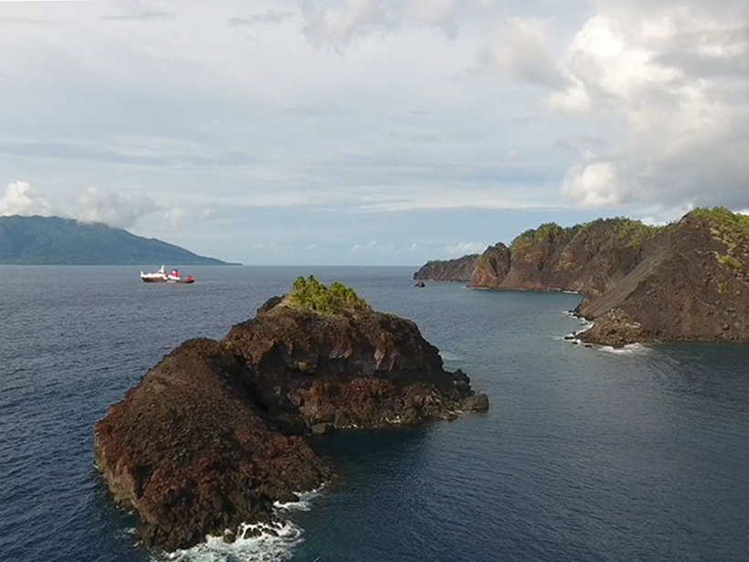
Scientists aboard the R/V Sonne profiled the seafloor and subsurface near Ritter Island, north of New Guinea, in 2016.
Posted inScience Updates

An 1888 Volcanic Collapse Becomes a Benchmark for Tsunami Models

by A. Micallef, S. F. L. Watt, C. Berndt, M. Urlaub, S.Brune, I. Klaucke, C. Böttner, J. Karstens and J. Elger 10 October 201718 November 2022

When volcanic mountains slide into the sea, they trigger tsunamis. How big are these waves, and how far away can they do damage? Ritter Island provides some answers.

A view of a Washington, D.C., skyline from the Potomac River at night. The Lincoln Memorial (at left) and the Washington Monument (at right) are lit against a purple sky. Over the water of the Potomac appear the text “#AGU24 coverage from Eos.”

Features from AGU Publications

Research Spotlights

Machine Learning Simulates 1,000 Years of Climate

27 August 202527 August 2025
Editors' Highlights

As Simple as Possible: The Importance of Idealized Climate Models

28 August 202526 August 2025
Editors' Vox

Waterworks on Tree Stems: The Wonders of Stemflow

21 August 202520 August 2025
Eos logo at left; AGU logo at right

About Eos
ENGAGE
Awards
Contact

Advertise
Submit
Career Center
Sitemap

© 2025 American Geophysical Union. All rights reserved Powered by Newspack