• Sign Up for Newsletter
  • About
  • Special Reports
  • Topics
    • Climate
    • Earth Science
    • Oceans
    • Space & Planets
    • Health & Ecosystems
    • Culture & Policy
    • Education & Careers
    • Opinions
  • Projects
    • ENGAGE
    • Third Pod from the Sun
    • Eos en Español
    • Eos 简体中文版
    • Print Archive
  • Newsletter
  • Submit to Eos
  • AGU.org
  • AGU Publications
    • AGU Journals
    • Editors’ Highlights
    • Editors’ Vox
  • Career Center
  • AGU Blogs
  • Join AGU
  • Give to AGU
  • Twitter
  • Facebook
  • LinkedIn
  • RSS
  • Tumblr
  • Instagram
  • YouTube
  • About
  • Special Reports
  • Topics
    • Climate
    • Earth Science
    • Oceans
    • Space & Planets
    • Health & Ecosystems
    • Culture & Policy
    • Education & Careers
    • Opinions
  • Projects
    • ENGAGE
    • Third Pod from the Sun
    • Eos en Español
    • Eos 简体中文版
    • Print Archive
  • Newsletter
  • Submit to Eos
Skip to content
Eos

Eos

Science News by AGU

Sign Up for Newsletter

A. Micallef

ORCID ID 0000-0002-9330-0648

Drone photograph of research vessel offshore Malta collecting geophysical data to map offshore freshened groundwater systems
Posted inEditors' Vox

Freshened Groundwater in the Sub-seafloor

by A. Micallef, M. Person, C. Berndt, C. Bertoni, A. Haroon, R. Martin-Nagle, T. Müller and E. Trembath-Reichert 11 January 20216 January 2022

Scientists are using a variety of geochemical, geophysical, and numerical methods to study offshore freshened groundwater and better understand its role in the global water cycle.

New Zealand’s Canterbury coast seen from R/V Tangaroa during the MARCAN program’s controlled-source electromagnetic survey.
Posted inScience Updates

How Offshore Groundwater Shapes the Seafloor

by A. Micallef, J. J. Mountjoy, K. Schwalenberg, M. Jegen, B. A. Weymer, S. Woelz, P. Gerring, N. Luebben, D. Spatola, D. Cunarro Otero and C. Mueller 29 January 20188 November 2021

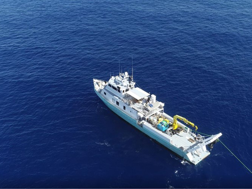
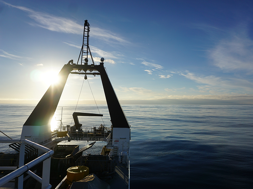
The MARCAN project, launched last January, is working to fill a gap in our knowledge of how freshwater flowing underground shapes and alters the continental margins.

Scientists aboard the R/V Sonne profiled the seafloor and subsurface near Ritter Island, north of New Guinea, in 2016.
Posted inScience Updates

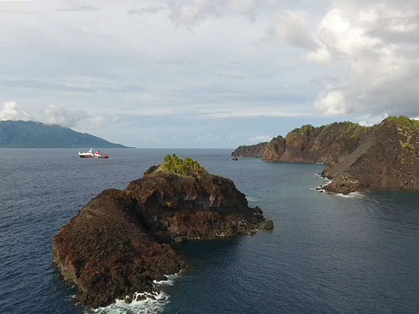
An 1888 Volcanic Collapse Becomes a Benchmark for Tsunami Models

by A. Micallef, S. F. L. Watt, C. Berndt, M. Urlaub, S.Brune, I. Klaucke, C. Böttner, J. Karstens and J. Elger 10 October 201710 October 2017

When volcanic mountains slide into the sea, they trigger tsunamis. How big are these waves, and how far away can they do damage? Ritter Island provides some answers.

From AGU Journals

MOST SHARED
Geophysical Research Letters
“Climate Change Drives Widespread and Rapid Thermokarst Development in Very Cold Permafrost in the Canadian High Arctic”
By Louise M. Farquharson et al.

HIGHLY CITED
Space Weather
“International Reference Ionosphere 2016: From ionospheric climate to real-time weather predictions”
By D. Bilitza et al.

HOT ARTICLE
JGR Planets
“Exploring Ocean Circulation on Icy Moons Heated from Below”
By Suyash Bire et al.

  • Twitter
  • Facebook
  • LinkedIn
  • RSS
  • Tumblr
  • Instagram
  • YouTube


About Eos
Contact
Advertise

Submit
Career Center
Sitemap

© 2022 American Geophysical Union. All rights reserved. Proudly powered by Newspack by Automattic