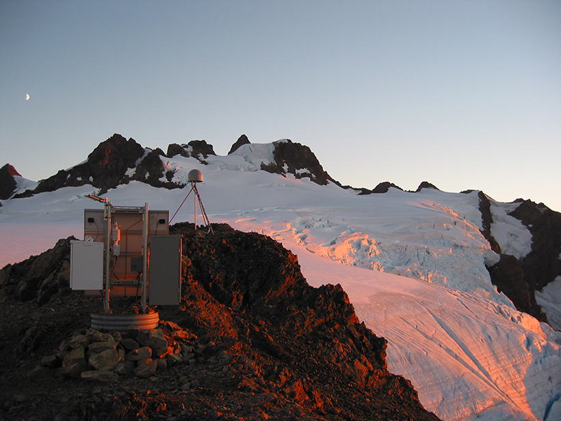
Navigation satellites are enabling high-precision, real-time tracking of ground displacements, supplementing traditional methods for monitoring and assessing earthquakes.
MOST SHARED
Geophysical Research Letters
“Climate Change Drives Widespread and Rapid Thermokarst Development in Very Cold Permafrost in the Canadian High Arctic”
By Louise M. Farquharson et al.
HIGHLY CITED
Radio Science
“Vegetation modeled as a water cloud”
By E. P. W. Attema, Fawwaz T. Ulaby
HOT ARTICLE
Geophysical Research Letters
“Numerical Simulation of Atmospheric Lamb Waves Generated by the 2022 Hunga-Tonga Volcanic Eruption”
By Angel Amores et al.