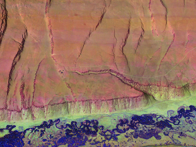
The Titan airborne topographic laser system takes spatial and spectral data at three wavelengths at once, mapping threats from climate change and ecological disasters in regions with complex terrain.
The Titan airborne topographic laser system takes spatial and spectral data at three wavelengths at once, mapping threats from climate change and ecological disasters in regions with complex terrain.