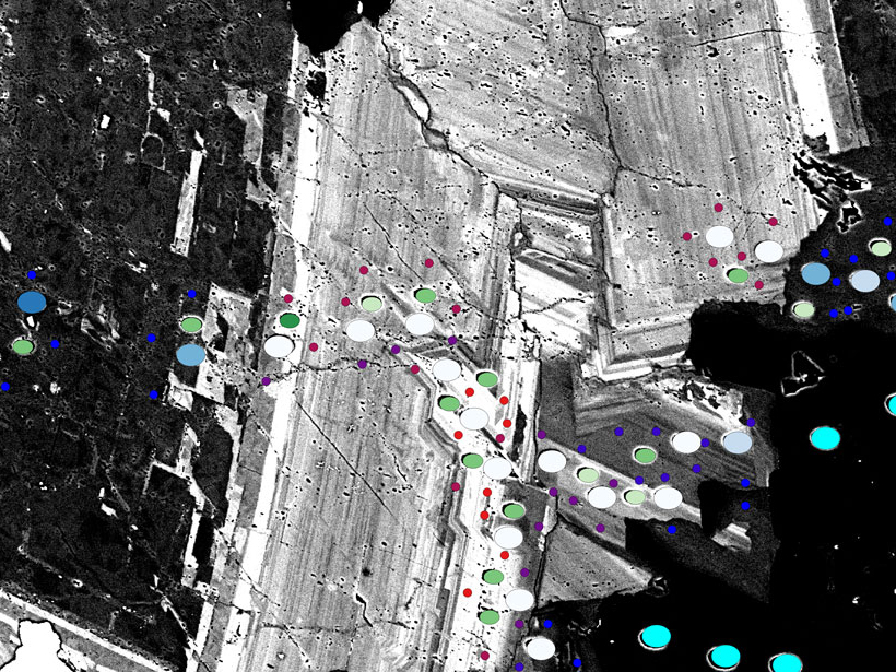
Geographic information system software, created for mapping cities and continents, works equally well with the minuscule layers and inclusions that record a crystal’s history.
RESEARCH SPOTLIGHTS
JGR: Solid Earth
“New Tectonic Plate Model Could Improve Earthquake Risk Assessment”
By Morgan Rehnberg
EDITORS' HIGHLIGHTS
AGU Advances
“Eminently Complex – Climate Science and the 2021 Nobel Prize”
By Ana Barros
EDITORS' VOX
Perspectives of Earth and Space Scientists
“New Directions for Perspectives of Earth and Space Scientists”
By Michael Wysession