
Scientists model the impact of environmental warming on ice drainage basins in the less studied East Antarctica.
S. Witman

Posted inResearch Spotlights
Sun Glitter Provides a Detailed Map of Ocean Waves
European scientists use satellite sensors to detect light reflected off waves at the ocean's surface, which could help improve wave forecasts.
Posted inResearch Spotlights
Modeling Permafrost's Role in the Global Carbon Cycle
A team of international scientists surveyed an array of Earth ecosystem models, recommending several ways to reduce uncertainties.

Posted inResearch Spotlights
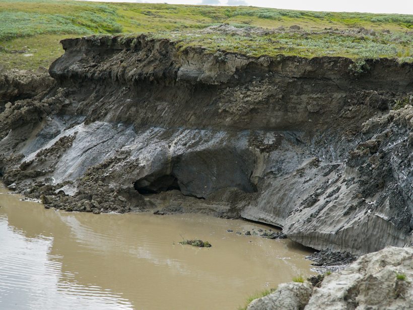
Arctic Permafrost Thaw Would Amplify Climate Change
An international team probed Arctic permafrost samples to better understand the carbon feedback loop that could be set off by future thawing.
Posted inResearch Spotlights
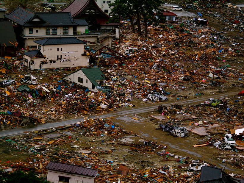
An Up Close Look at the Megaquakes That Cause Tsunamis
Researchers recreate changes in the seafloor during Japan's devastating 2011 tsunami.
Posted inResearch Spotlights
River's Rise Linked to Oklahoma's Largest Earthquake
As human-induced earthquakes increase in frequency and magnitude, researchers race to uncover their effects on surface water and groundwater.
Posted inResearch Spotlights
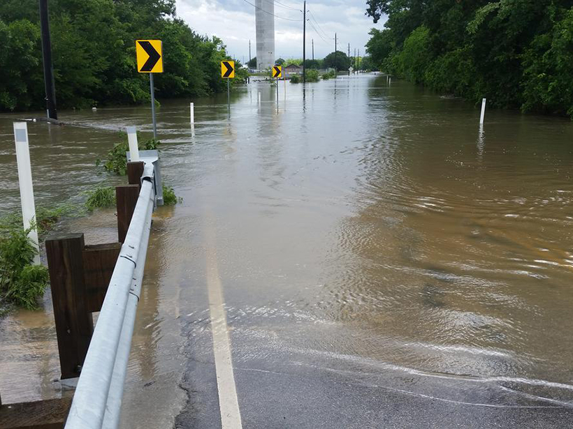
Tracking Trends in U.S. Flood Risk
As floods become more frequent around the globe, scientists work to pinpoint what puts certain regions at risk.

Posted inResearch Spotlights
Understanding Tectonic Processes Following Great Earthquakes
Scientists parse out the processes underlying tectonic signals detected by GPS networks.
Posted inResearch Spotlights
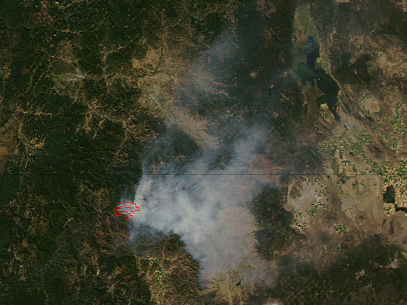
Fighting Fire with Satellite Data
As climate change worsens wildfire impact, scientists use satellites to study climate-fire interactions.