Source: Geophysical Research Letters
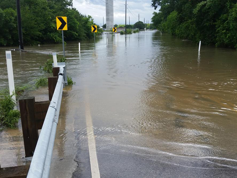
For 16 consecutive months in 2015 and 2016, Earth’s climate repeatedly broke global temperature records, in keeping with global warming trends observed over the past century and counting. During that period, there were major floods across the United States, including events in Missouri, Texas, Oklahoma, West Virginia, Maryland, and Louisiana.
Warmer temperatures are associated with more frequent extreme precipitation events, and they increase the atmosphere’s water-holding capacity, suggesting that flooding across the globe will become more frequent in coming decades. Such an increase would have costly consequences for agriculture, water resources management, ecology, insurance, and transportation and navigation industries, as well as for civilians living in flood-affected areas. In light of this, hydrologists and atmospheric scientists are working to develop a more nuanced understanding of projected flooding changes to accurately communicate risks to the public.
Slater and Villarini have carried out one of the first major investigations of regional changes in flood risk across the United States, from 1985 to 2015. Using data from U.S. Geological Survey records, the researchers looked at 2042 catchments (areas that collect water) to determine the number of flood events that ranked above the National Weather Service’s four flood categories: action (the stage first reached, indicating that some level of action must be taken to mitigate effects), minor (minimal public threat but some road inundation), moderate (some inundation of roads and structures, possibly requiring scattered evacuations), and major (extensive inundation of structures requiring significant evacuations). Tracking these categories, which are used to monitor and forecast flood risk, helped them to understand how a region’s flood risk had changed over time and how it might continue to change.
The researchers found that flood risk changes varied greatly from region to region, depending on a variety of factors, primarily overall wetness and potential water storage. For example, in southeastern Louisiana, they found that the number of days experiencing flooding has been gradually increasing in frequency (from “action” to “moderate” and beyond), whereas South Carolina’s flood risk has been decreasing.
The researchers hope that their findings could be used to improve the communication of changing flood patterns to a wider audience, including industry leaders, policy makers, and the public. In the past, flood risk trends have typically been discussed in terms of the amount and frequency of flowing water. But this study introduces a new vocabulary for discussing flood risk trends, one that focuses on the localized threat to people and property. (Geophysical Research Letters, doi:10.1002/2016GL071199, 2016)
—Sarah Witman, Freelance Writer
Citation:
Witman, S. (2016), Tracking trends in U.S. flood risk, Eos, 97, https://doi.org/10.1029/2016EO064311. Published on 21 December 2016.
Text © 2016. The authors. CC BY-NC-ND 3.0
Except where otherwise noted, images are subject to copyright. Any reuse without express permission from the copyright owner is prohibited.