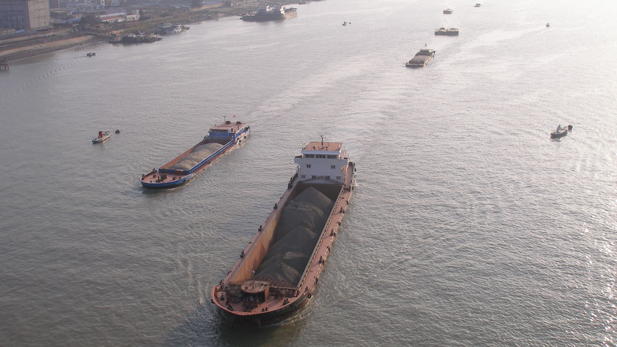
Tidal subharmonics help push water levels higher in tidal rivers.
floods
Posted inNews
Calculating the Costs of Wetland Loss
Wetlands protect communities and ecosystems from flooding. A new study quantifies their financial importance.
Posted inResearch Spotlights
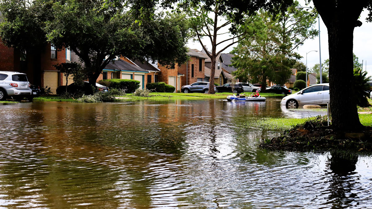
Keeping Humans in the Loop Improves Flood Forecasting
Artificial intelligence and machine learning can improve flood predictions—but human expertise still matters for accurate warnings, new research says.
Posted inResearch Spotlights
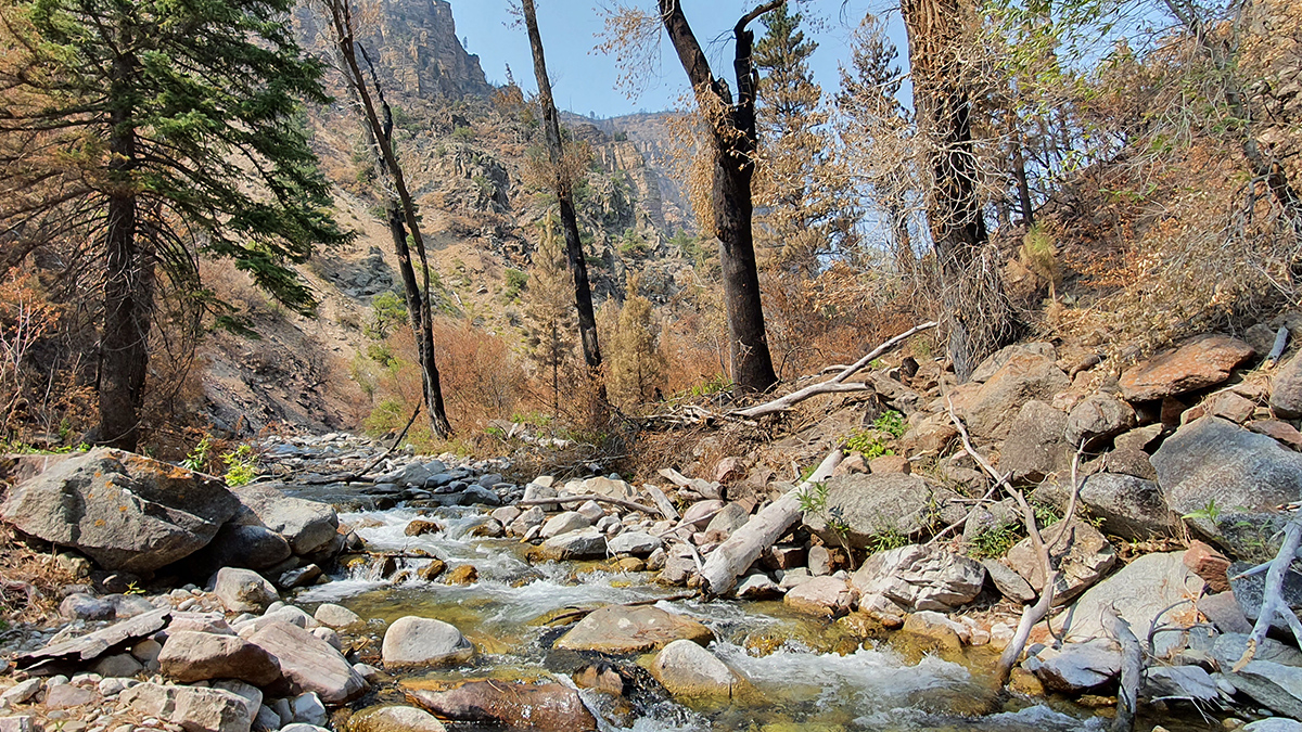
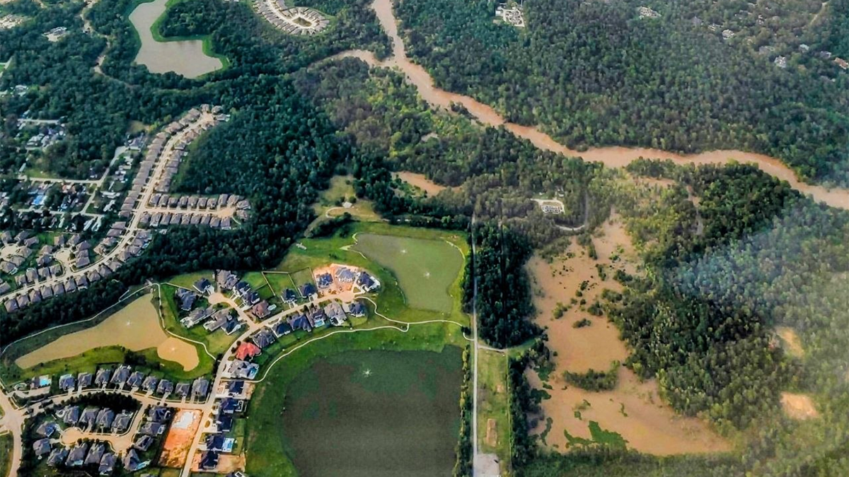
How Wildfires Worsen Flood Risk
A new approach to analyzing watersheds shows how storms occurring after a wildfire can have higher flooding risk than similar storms that occurred before a fire.
Posted inNews
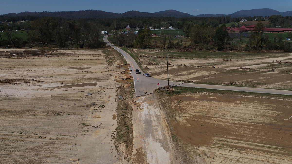
Hurricane Helene Ravaged Farmers’ Topsoil. They’re Still Fighting to Build It Back.
“We’re dirt farmers. Our primary job is to tend the dirt. That’s the basis of everything.”
Posted inEditors' Vox
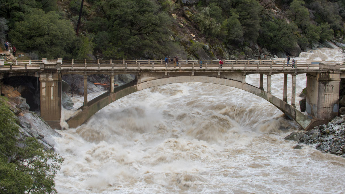
Can Any Single Satellite Keep Up with the World’s Floods?
How well does our current satellite fleet capture the world’s major floods? Scientists turn to the Dartmouth Flood Observatory record for a data-driven answer.
Posted inEditors' Vox
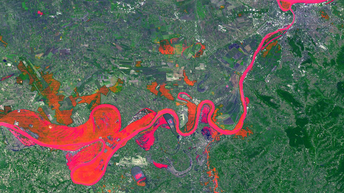
Synergistic Integration of Flood Inundation Modeling Methods
Recent flood modeling advances are trending into silos that compete rather than complement each other, hampering the opportunity for transformative progress toward protecting lives and communities.

Posted inResearch & Developments, Uncategorized
Senate Committee Approves Bill to Expand NOAA Capabilities
The markup meeting, to discuss the NASA Transition Authorization Act of 2026 and the Weather Research and Forecasting Innovation Reauthorization Act of 2026, lasted less than 20 minutes.

Posted inNews
Marine Heat Waves Can Increase Coastal Rainfall
Unusually warm ocean waters can amplify extreme rainfall in downwind areas, leaving coastal communities—especially those in developing countries—at risk.
Posted inResearch Spotlights
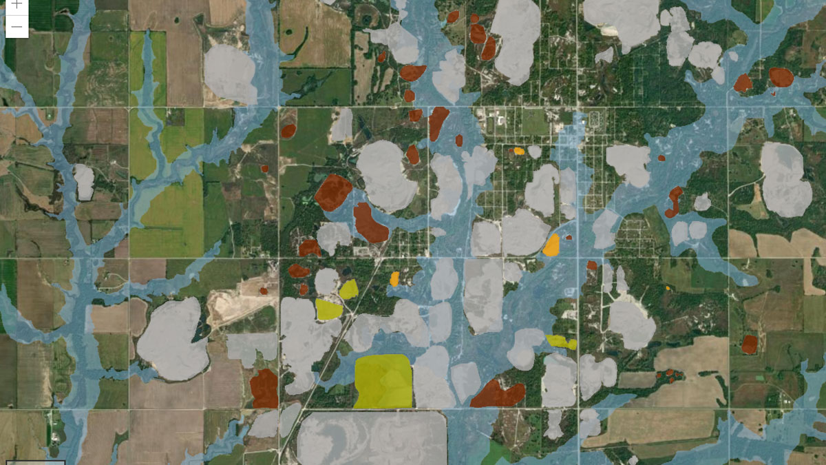
Making a Map to Make a Difference
A new study highlights the partnership between scientists and nonscientist community members in building an interactive GIS map to show flooding risk in a Superfund site.