Source: Community Science
Communities on small islands are on the front lines of worsening flood risks—not just from severe storms but from persistent tidal flooding events. Scientists estimate that within 15 years, high-tide flood events could triple for two thirds of communities along the East and Gulf Coasts of the United States.
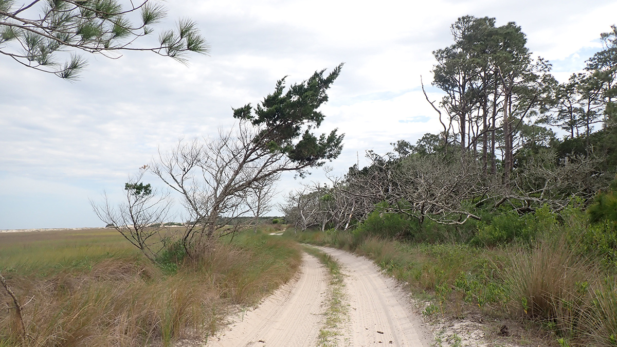
Sea level rise and tidal flooding can vary depending on local land morphology, offshore bathymetry, and wind direction and intensity. To test how a community science partnership might better determine flooding risks, Bertram et al. focused on Little Cumberland Island, Georgia. The community comprises about 40 residences connected by unpaved roads, though no road connects it to the mainland.
In 2021, island residents agreed to allow faculty and students from the College of Coastal Georgia to conduct field research on the island. They asked the researchers to focus on developing a way to predict the frequency and severity of future floods and ultimately provide insight into how to develop more resilient roads.
For the next 2 years, the researchers visited the island every 1–2 months. Each time, an island resident hosted the team for dinner and shared stories about past flooding events and some of their greatest concerns. The scientists shared research updates with the residents, including water pressure recordings in flood-prone areas and comparisons between wind-enhanced high-tide measurements and predicted tidal flooding.
Residents reported that flooding of low-elevation roads has grown more common over time and that this flooding was worse when winds arrived from the northeast. The researchers’ measurements, which supported these observations, allowed the team to determine how wind velocity affects tidal flooding and to predict future flood frequency.
The researchers suggest that grading roadways so they dip downward on the sides, combined with increasing the size of sediment used for the roads from sand to gravel, could be enough to protect the roads until 2030. However, they predict that by 2040, “nuisance flooding” of 30 centimeters or less will double to triple in frequency.
Considering the findings, the researchers suggest that more permanent changes to the roads, such as building a raised wooden bridge, should be implemented within the next decade. They note that though the project was successful at addressing residents’ concerns and incorporating local knowledge, future work could further involve community members in data interpretation and developing recommendations. (Community Science, https://doi.org/10.1029/2023CSJ000058, 2025)
—Sarah Derouin (sarahderouin.com), Science Writer