• About
  • Special Reports
  • Topics
    • Climate
    • Earth Science
    • Oceans
    • Space & Planets
    • Health & Ecosystems
    • Culture & Policy
    • Education & Careers
    • Opinions
  • Projects
    • Postcards From the Field
    • ENGAGE
    • Editors’ Highlights
    • Editors’ Vox
    • Eos en Español
    • Eos 简体中文版
    • Print Archive: 2015–2025
  • Policy Tracker
  • Blogs
    • Research & Developments
    • The Landslide Blog
  • Newsletter
  • Submit to Eos
  • AGU.org
  • Career Center
  • Join AGU
  • Give to AGU
  • About
  • Special Reports
  • Topics
    • Climate
    • Earth Science
    • Oceans
    • Space & Planets
    • Health & Ecosystems
    • Culture & Policy
    • Education & Careers
    • Opinions
  • Projects
    • Postcards From the Field
    • ENGAGE
    • Editors’ Highlights
    • Editors’ Vox
    • Eos en Español
    • Eos 简体中文版
    • Print Archive: 2015–2025
  • Policy Tracker
  • Blogs
    • Research & Developments
    • The Landslide Blog
  • Newsletter
  • Submit to Eos
Skip to content
  • AGU.org
  • Career Center
  • Join AGU
  • Give to AGU
Eos

Eos

Science News by AGU

Support Eos
Sign Up for Newsletter
  • About
  • Special Reports
  • Topics
    • Climate
    • Earth Science
    • Oceans
    • Space & Planets
    • Health & Ecosystems
    • Culture & Policy
    • Education & Careers
    • Opinions
  • Projects
    • Postcards From the Field
    • ENGAGE
    • Editors’ Highlights
    • Editors’ Vox
    • Eos en Español
    • Eos 简体中文版
    • Print Archive: 2015–2025
  • Policy Tracker
  • Blogs
    • Research & Developments
    • The Landslide Blog
  • Newsletter
  • Submit to Eos

community science projects

Learn more about AGU’s Community Science initiative.

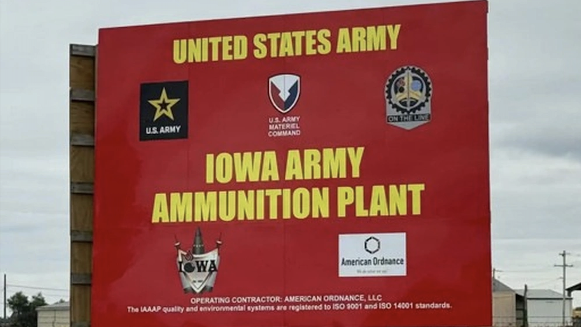
An red entrance sign to the Iowa Army Ammunition Plant. The sign says "United States Army," "Iowa Army Ammunition Plant, operating contractor: American Ordinance, LLC, the IAAAP quality and environmental systems are registered to ISO 5051 and ISO 14001 standards," along with other logos including the U.S. Army and U.S. Army Material Command.
Posted inResearch & Developments

With Little Time Before Lead Azide Detonation, Iowa Scientists and Residents Assemble Monitoring Plans

by Grace van Deelen 20 November 202620 November 2026

Scientists and Iowa residents are planning to independently monitor lead levels in the air and soil in the days before and after a planned detonation of lead azide, a military explosive, near Middletown, Iowa on Monday.

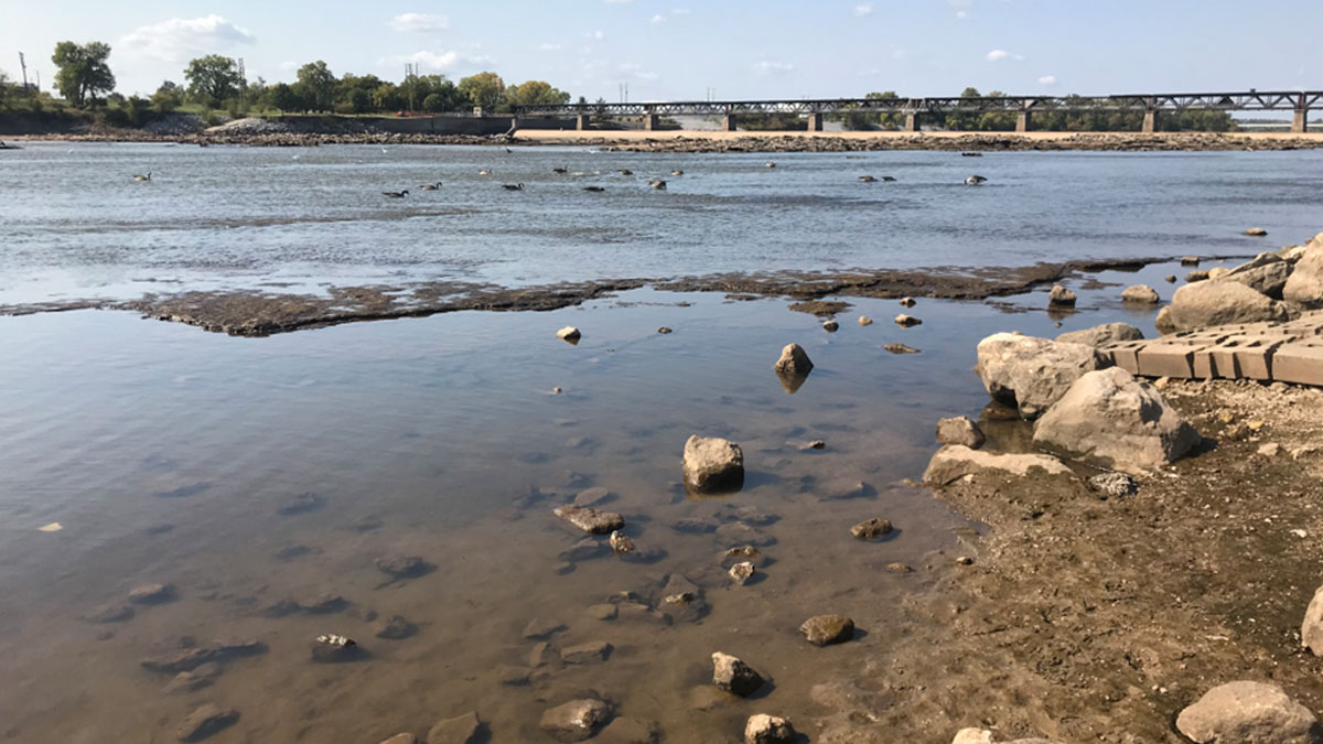
A photo shows the shallow side of the river, geese floating on the river farther back, and a bridge stretching across the river farther back.
Posted inResearch Spotlights

Community Members Test Oklahoma Waters

by Rebecca Owen 9 November 20269 November 2026

What’s in Your Water? engages local residents in monitoring Oklahoma’s waterways and helps fill gaps in state water quality data.
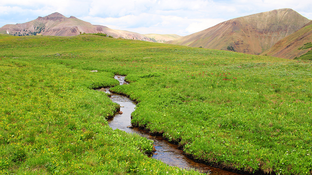
A small stream snakes through a vast field of low, green vegetation in front of arid-looking mountain peaks.
Posted inOpinions

A Hybrid Approach for Revealing Headwater Hydrology

by John Hammond, Jay Christensen, Kristin Jaeger, Roy Sando and Jacob A. Zwart 5 August 20265 August 2026

Coordinated work to compile existing data and apply models pairing physical understanding with machine learning could substantially improve streamflow predictions for little-known headwater basins.
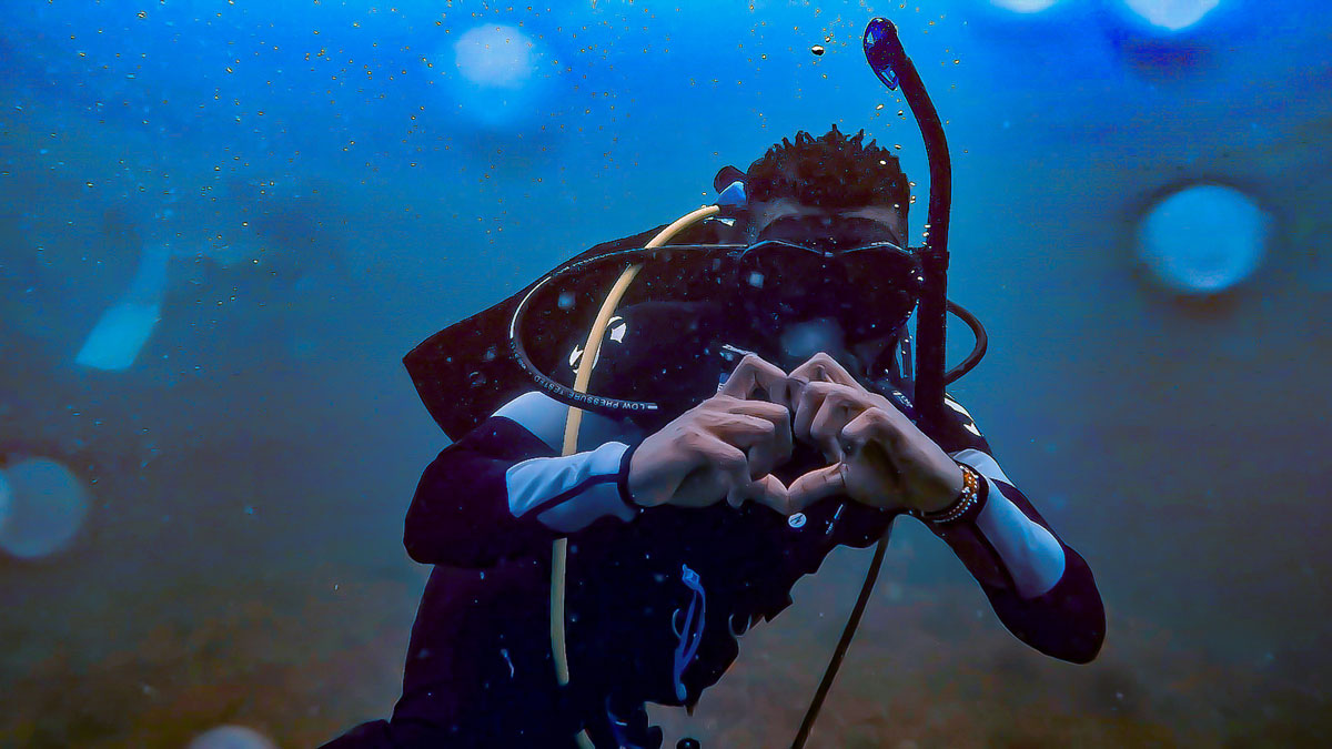
An underwater photo shows a young man in scuba gear making a heart symbol with his hands.
Posted inFeatures

Sidney Opiyo: Bringing Fisheries Science Home

by Nathaniel Scharping 3 August 202621 September 2026

The environmental scientist hopes to return to his home island in Kenya, as both scientist and photographer.
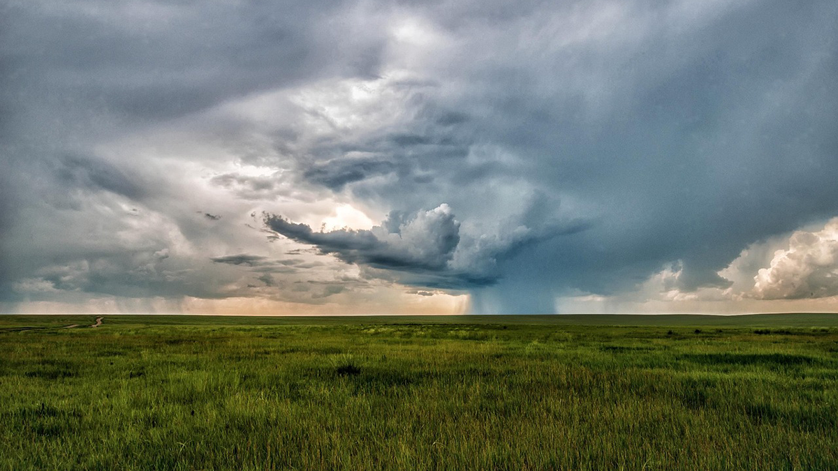
Photo of a stormy sky over a field of grass.
Posted inEditors' Highlights

Making Weather and Climate Information Reach the Communities that Need It

by Muki Haklay 20 July 202620 July 2026

Many at-risk communities remain unreached by forecasts due to barriers in language, access, and trust in information systems. A new study looks at how to overcome these.
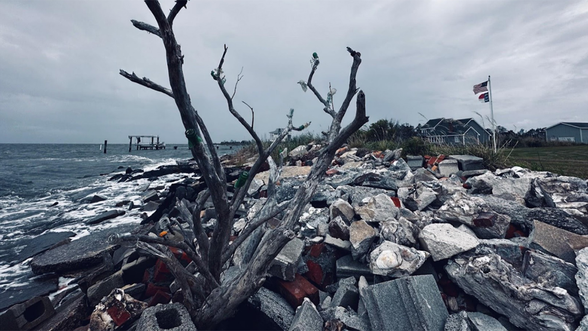
A dead tree rises from a pile of rocks, concrete, and bricks heaped along a shoreline. In the background, a flagpole stands with a United States flag and a North Carolina flag outstretched in the wind beside a gray house and under overcast skies.
Posted inScience Updates

Confronting Salty Problems in the Coastal Plain

by Kiera O’Donnell, Emily S. Bernhardt, Aeran Coughlin, Ken W. Krauss and Xi Yang 6 July 20266 July 2026

An interdisciplinary network of scientists and stakeholders is working to understand how saltwater intrusion and sea level rise are affecting rural communities and to help address the consequences.
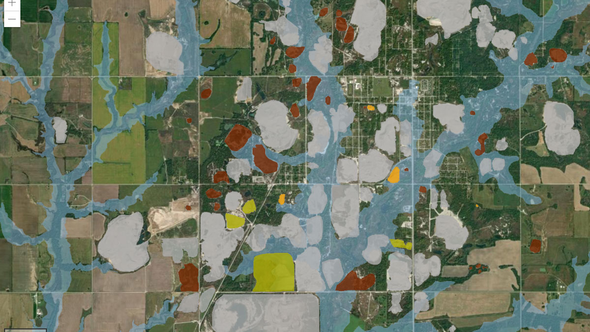
A geographic information system (GIS) map shows a number of different layers: Blue areas represent flood zones or floodways, whereas white areas are those with minimal flood hazard. Red, orange, green, and gray areas represent mining waste.
Posted inResearch Spotlights

Making a Map to Make a Difference

by Rebecca Owen 11 February 202611 February 2026

A new study highlights the partnership between scientists and nonscientist community members in building an interactive GIS map to show flooding risk in a Superfund site.
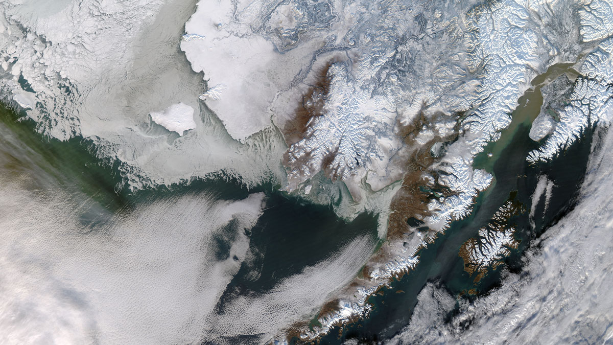
Aerial view of snow-covered Yukon River Delta in Alaska.
Posted inNews

Changing Winters Leave Indigenous Alaskans on Thin Ice

by Cassidy Beach 12 December 202517 December 2025

Researchers are blending Indigenous Knowledges with climate models to describe shifts in snow and ice.
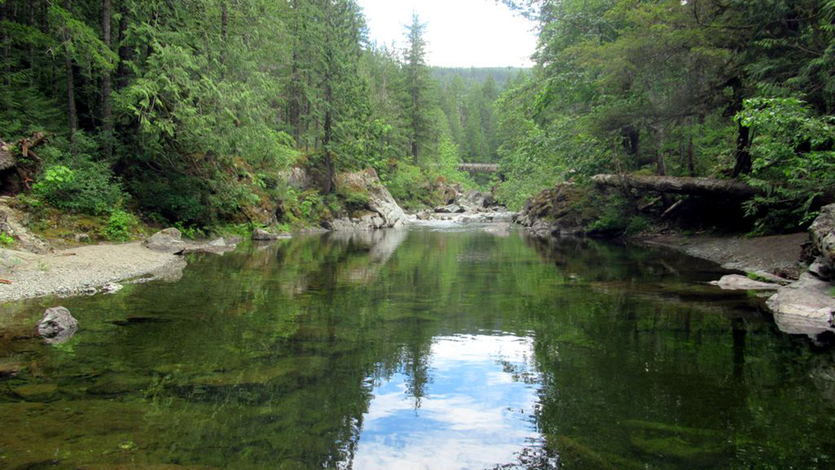
A small river bordered by rocky beaches and trees, which are also reflected in the river.
Posted inResearch Spotlights

Watershed Sustainability Project Centers Place-Based Research

by Madeline Reinsel 4 December 20254 December 2025

A community science project supports an innovative watershed management plan.
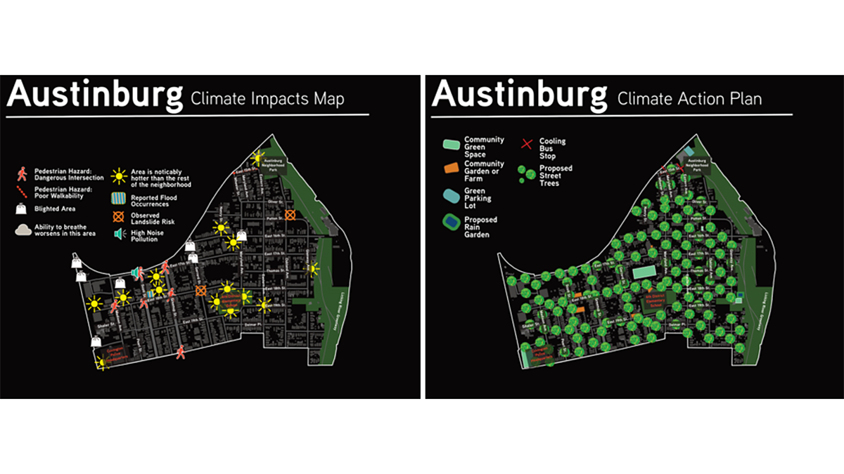
2 maps of Austinburg, Kentucky, showing climate impacts and the action plan.
Posted inEditors' Highlights

Resilient Solutions Involve Input and Data from the Community

by Kathryn Semmens 14 May 202514 May 2025

Data dashboards assist in understanding a community’s vulnerability to climate impacts, but input from the communities themselves helps identify and support actionable solutions.

Posts pagination

1 2 3 … 5 Older posts
Over a dark blue-green square appear the words Special Report: The State of the Science 1 Year On.

Features from AGU Publications

Research Spotlights

Rapid-Scan Satellite Data Offer Clues to Typhoon Intensity

17 November 202617 November 2026
Editors' Highlights

Rethinking Where Rivers Begin

18 November 202616 November 2026
Editors' Vox

Bringing Python Solutions to Earth Science Challenges

19 November 202619 November 2026
Eos logo at left; AGU logo at right

About Eos
ENGAGE
Awards
Contact

Advertise
Submit
Career Center
Sitemap

© 2026 American Geophysical Union. All rights reserved Powered by Newspack