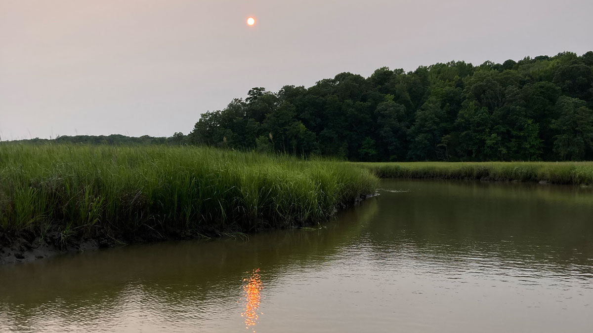
Tidal subharmonics help push water levels higher in tidal rivers.
surface waves & tides
Posted inResearch Spotlights
Tracking 20 Years of Productivity in Tidal Wetlands
A new study suggests warming temperatures and increased solar radiation have boosted carbon fixation in tidal wetlands across the country.

Posted inNews
What Winds Whip Up Otherworldly Waves?
New research goes back to the basics to explain how atmospheric conditions affect the creation of wind-driven waves on other worlds.
Posted inEditors' Highlights
Gravity Waves Help Drive Sediment to the Deep Ocean
Laboratory experiments reveal that gravity wave-turbidity current interactions (combined flows) can enhance sediment transport to the deep ocean.
Posted inResearch Spotlights
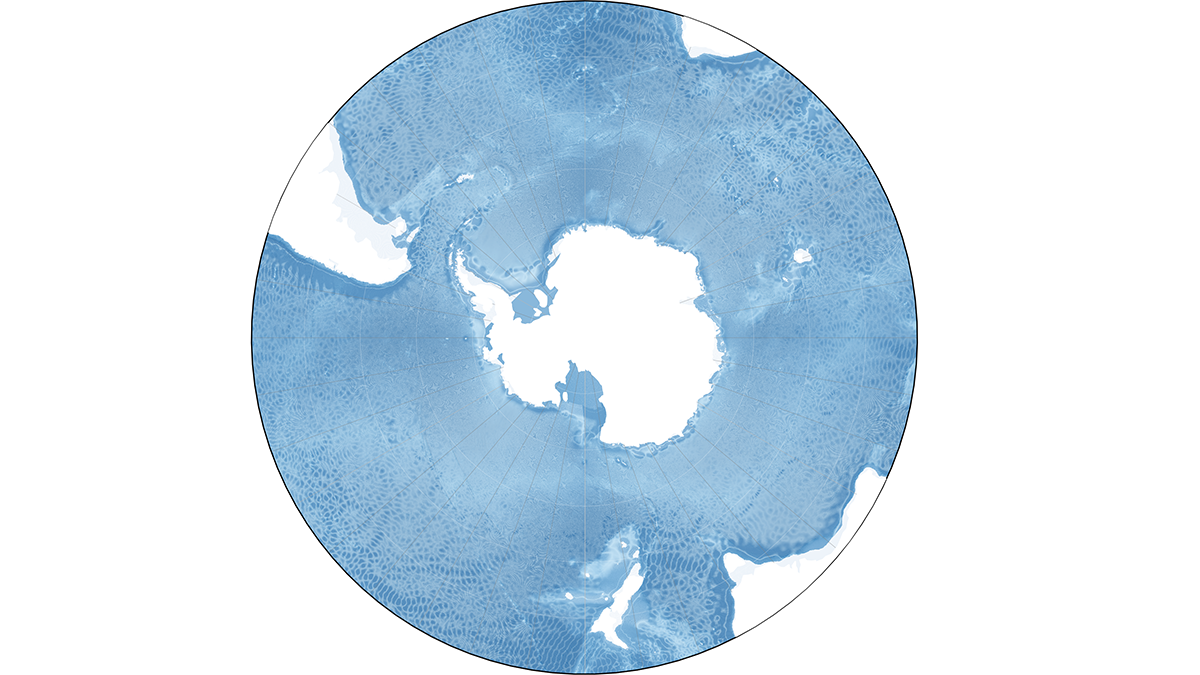
How Internal Waves Transport Energy Thousands of Miles Across the Ocean
For the first time, researchers model energy fluxes from these large-scale underwater waves in and around the Southern Ocean.
Posted inScience Updates
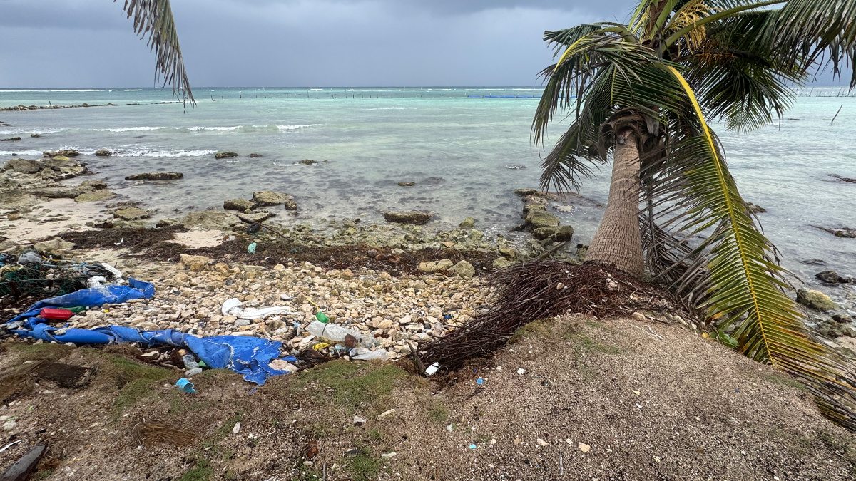
Tracking Microplastics Above and Below the Waves
Measuring plastic particles carried on Cozumel’s sea breezes and ocean currents reveals how simple physics shapes the particles’ pathways and the impacts they may have on coastal regions.
Posted inOpinions
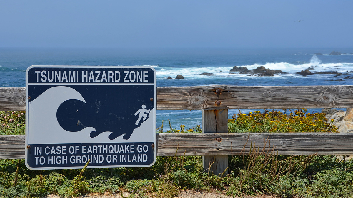
When Should a Tsunami Not Be Called a Tsunami?
It’s time to redefine the term so it more clearly conveys meaningful risks to coastal communities and prompts them to act when needed.
Posted inNews
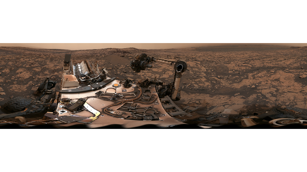
Sediments Hint at Large Ancient Martian Moon
Regular, alternating layers in Gale Crater may have been deposited as the result of tides raised by a moon at least 18 times the mass of Phobos, a study says.
Posted inEditors' Vox
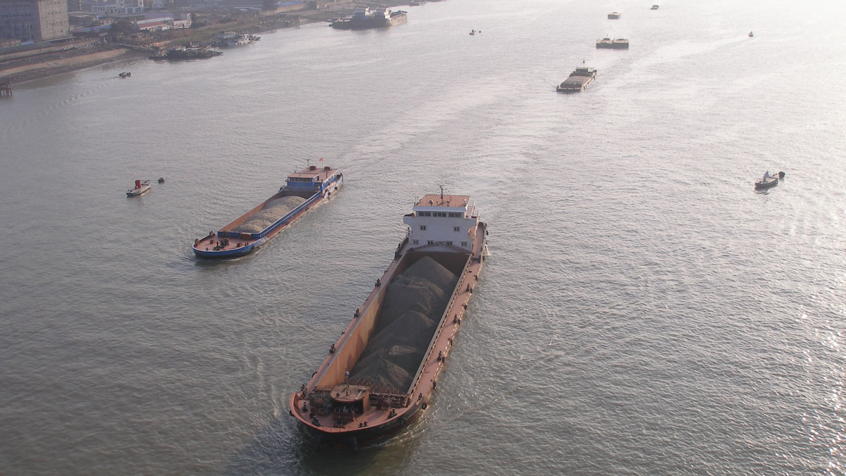
Echoes From the Past: How Land Reclamation Slowly Modifies Coastal Environments
Reclamation of tide-influenced areas has a large impact on coastal environments through gradual modification of tidal dynamics, erosion, and siltation.
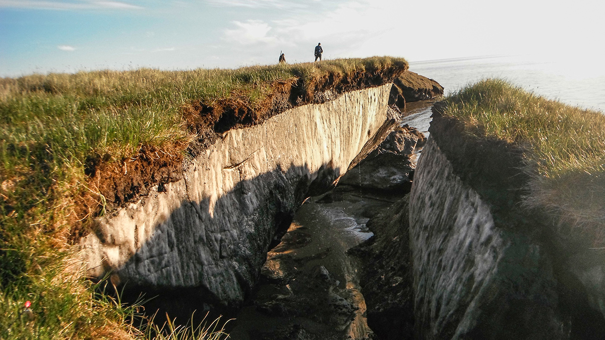
Posted inResearch Spotlights
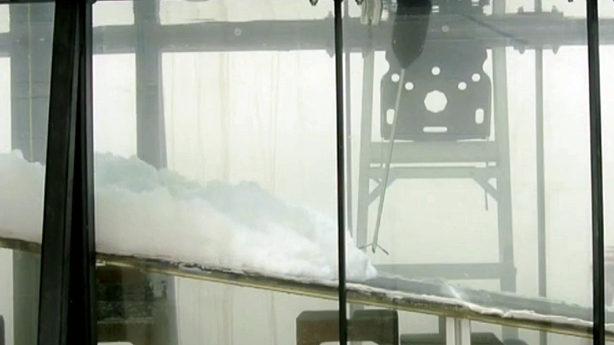
Lab Setup Mimics Arctic Erosion
The new methodology gave researchers valuable insights into why Arctic shorelines are crumbling.