Source: Journal of Geophysical Research: Oceans
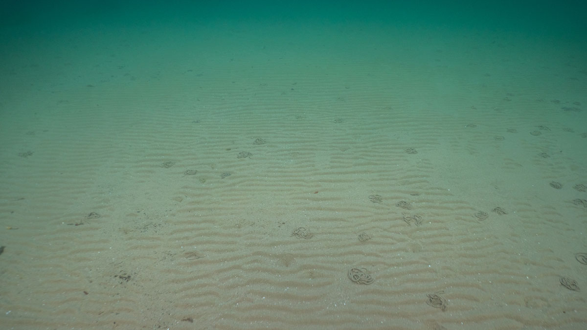
In shallow coastal waters around the world, mud and other fine-grained sediments such as clay and silt form critical blue carbon sinks. Offshore infrastructure such as wind turbines and oil platforms, as well as fishing practices such as bottom trawling, can have major effects on the seafloor. So knowing the locations of these mud-rich sedimentary deposits is key to making coastal management decisions.
Ward et al. set out to map three mud depocenters—large offshore muddy deposits—in the coastal waters around Great Britain and Ireland. The mud-rich areas they selected were Fladen Ground, northeast of Scotland in the North Sea; the Celtic Deep, southeast of Ireland; and the Western Irish Sea Mud Belt, in the Irish Sea.
Their location at the bottom of the ocean makes these muddy deposits notoriously difficult to map. Furthermore, contemporary sedimentary deposits do not necessarily stem from modern conditions—some deposits are relicts from past ocean behavior.
To address these challenges, the authors built a paleotidal model that can re-create factors dictating the behavior and movement of ocean water, such as water depth and the speed and path of tidal currents. They reconstructed ancient seafloor topography using past sea level changes interpreted via glacial isostatic adjustment models. Using this reconstruction, they were able to simulate the tidal conditions driving the formation of the mud deposits as far back as 17,000 years ago.
The model revealed that mud settled differently across the three focal areas. In the Celtic Deep and the Western Irish Sea Mud Belt, mud appears to have accumulated over the past 10,000 years and continues to accrue today. Conversely, in Fladen Ground, the mud deposits are the result of past sea conditions and are preserved by today’s calmer tidal conditions. The results demonstrate how modeling past conditions can help map today’s carbon stores, especially in data-limited areas. The approach offers a valuable tool for managing coastal waters and preserving blue carbon, the authors say. (Journal of Geophysical Research: Oceans, https://doi.org/10.1029/2024JC022092, 2025)
—Aaron Sidder, Science Writer
