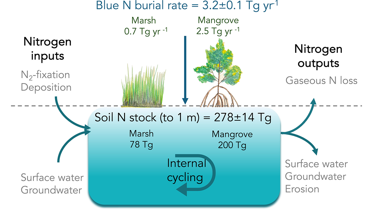
A new study of tidal wetland data highlights their capacity to sequester nitrogen (blue nitrogen), a function that could be weakened or even reversed by wetland area loss.
beaches, coasts, & shorelines
Posted inScience Updates
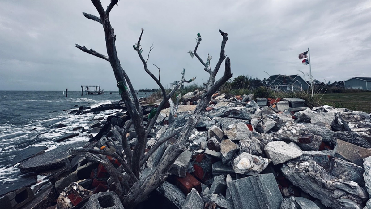
Confronting Salty Problems in the Coastal Plain
An interdisciplinary network of scientists and stakeholders is working to understand how saltwater intrusion and sea level rise are affecting rural communities and to help address the consequences.
Posted inEditors' Highlights
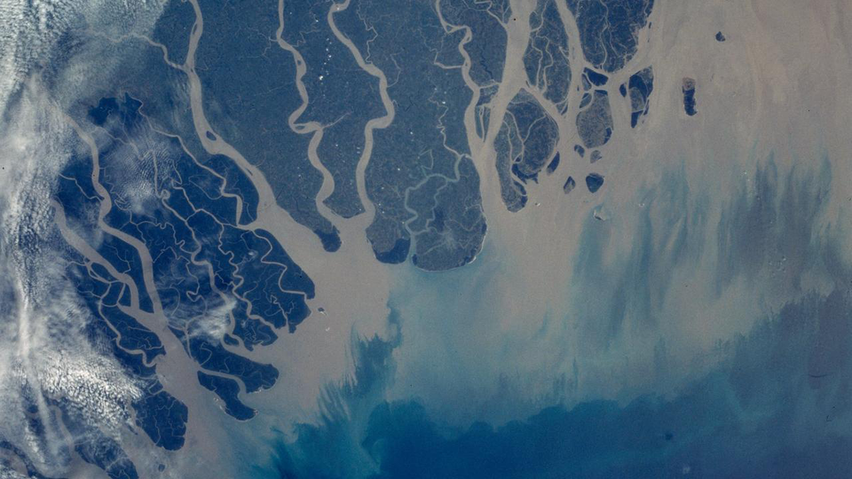
Shoreline Migration, Sediment Accumulation, and Blue Carbon Storage
Autogenic processes of sediment storage and erosion regulate shoreline movement and therefore, where coastal wetlands develop, setting up subsurface areas of preserved organic matter, blue carbon.
Posted inResearch Spotlights
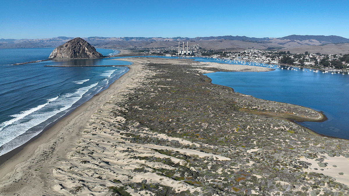
Extensive Sand Dune Loss Threatens California Coast
Aerial photos combined with lidar data show the extent of the problem.
Posted inResearch Spotlights
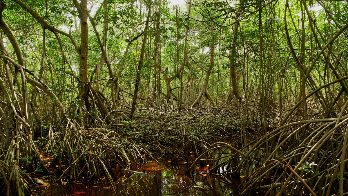
Mangroves May Be Losing Their Grip on Carbon Storage as Sea Levels Rise
Locally, mangroves can sometimes adapt to rising seas, but global trends look troubling.
Posted inNews
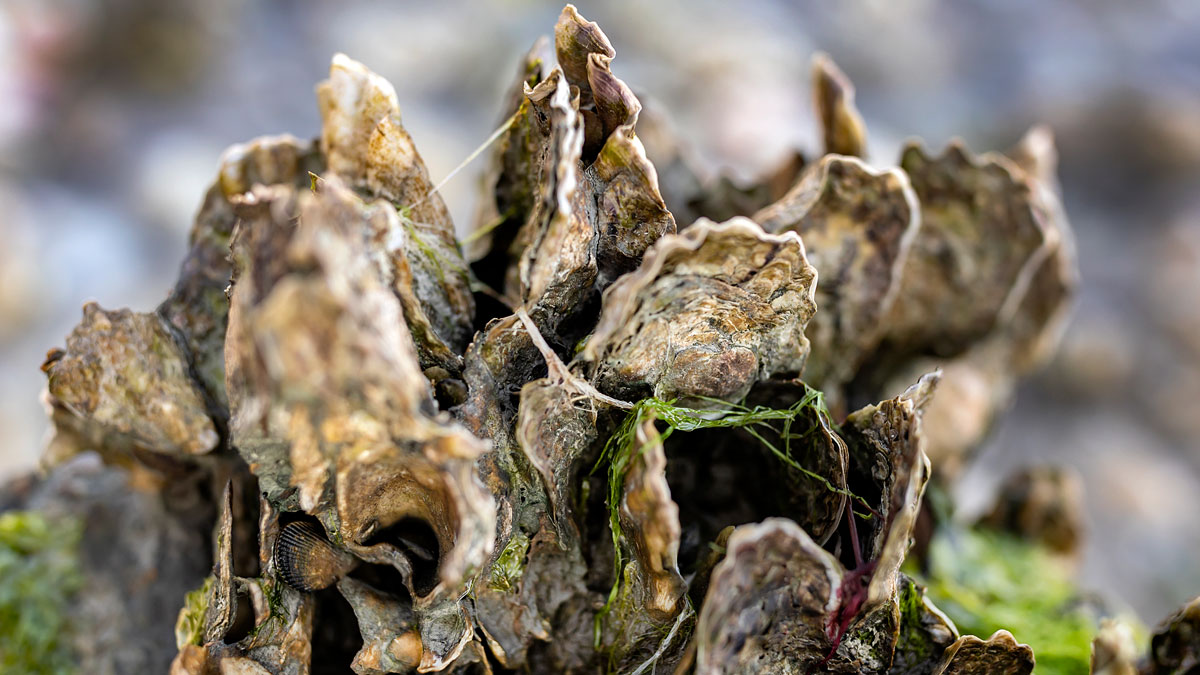
Oysters Clean Up More Nitrogen Pollution Than We Thought
New research has revealed that significant amounts of excess nitrogen in coastal waters are buried as oyster reefs grow and that some reefs trap more nitrogen than others.
Posted inScience Updates
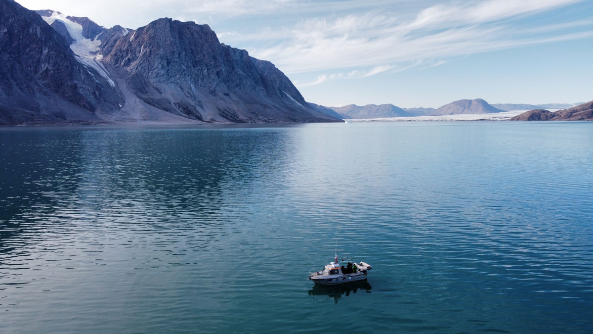
Melting Glaciers Make the Coastal Ocean More Sensitive
Fresh water from retreating ice does more than raise sea levels. It affects how the ocean responds to acidification and other environmental changes.
Posted inResearch Spotlights
How to Study Coastal Evolution
Researchers reviewed what’s known about how coastlines are changing and made recommendations for how to learn more.
Posted inEditors' Highlights
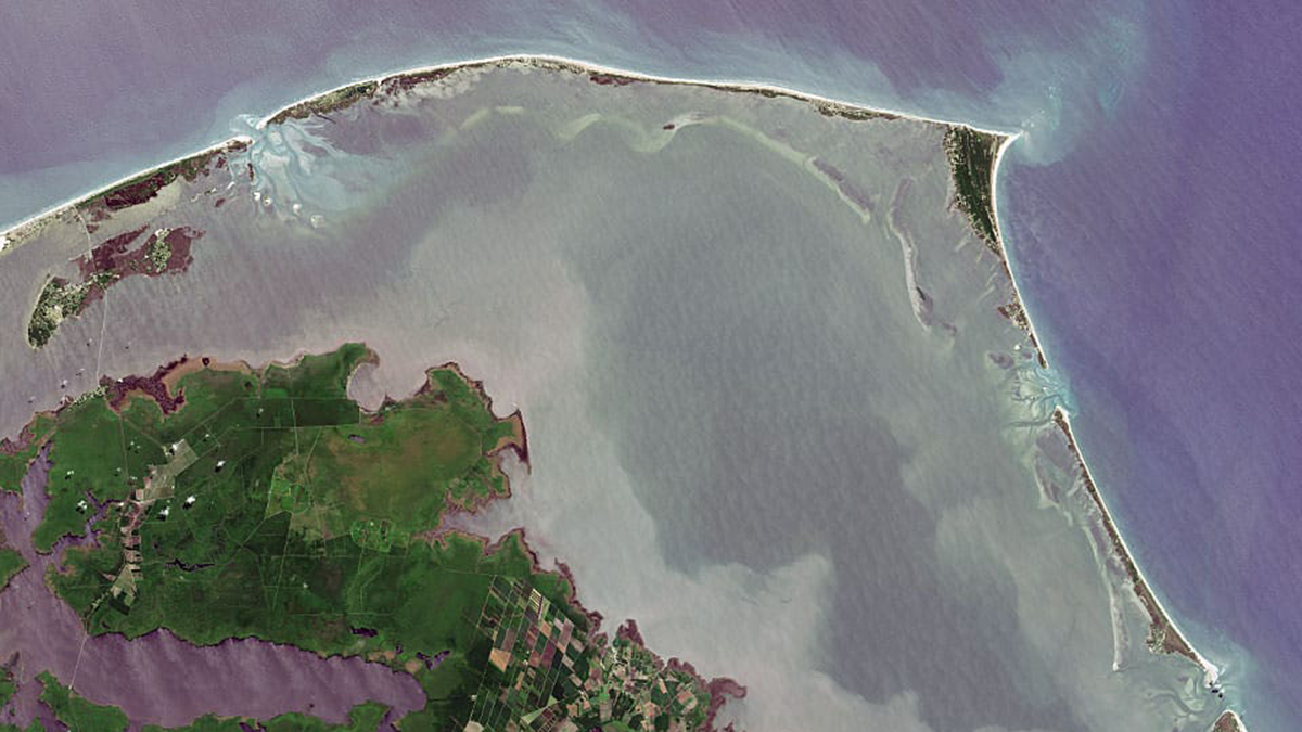
What’s Under the Water Matters
The fate of barrier islands in presence of sea level rise depends on their underwater shape.
Posted inScience Updates
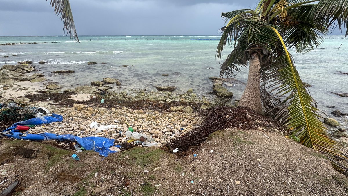
Tracking Microplastics Above and Below the Waves
Measuring plastic particles carried on Cozumel’s sea breezes and ocean currents reveals how simple physics shapes the particles’ pathways and the impacts they may have on coastal regions.