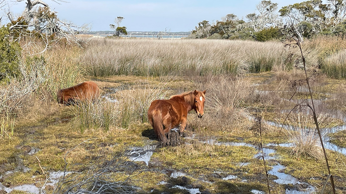
New research monitors how saltwater intrusion is affecting the behaviors of Shackleford Banks’s wild horses.
beaches, coasts, & shorelines
Posted inEditors' Vox
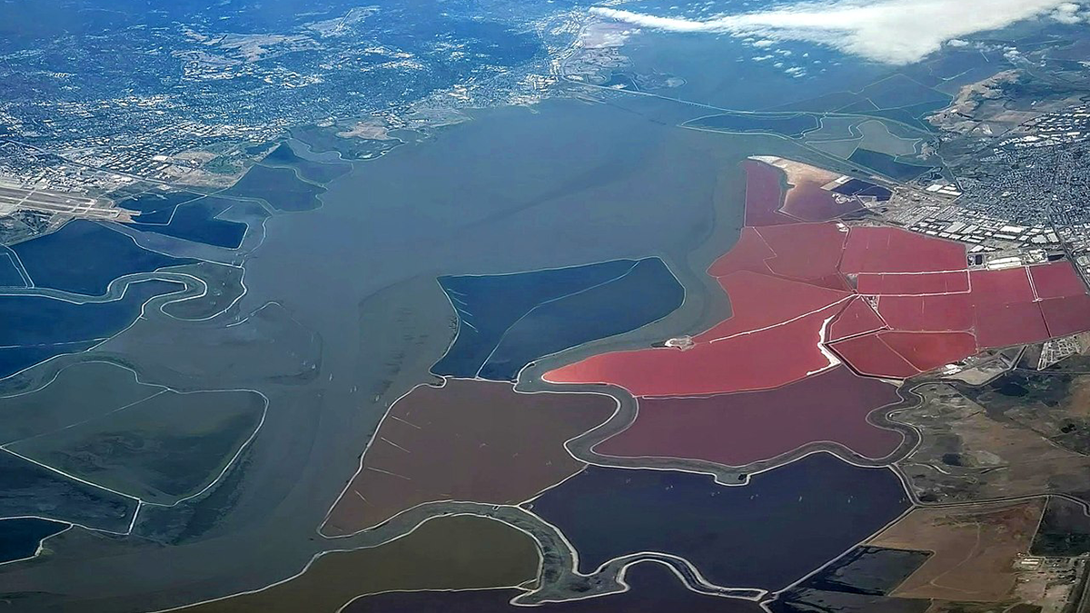
Echoes From the Past: How Land Reclamation Slowly Modifies Coastal Environments
Reclamation of tide-influenced areas has a large impact on coastal environments through gradual modification of tidal dynamics, erosion, and siltation.
Posted inResearch Spotlights
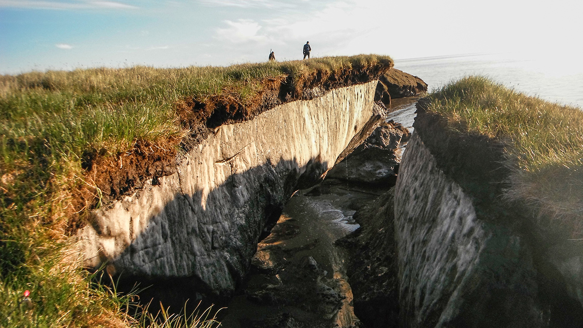
Lab Setup Mimics Arctic Erosion
The new methodology gave researchers valuable insights into why Arctic shorelines are crumbling.
Posted inNews
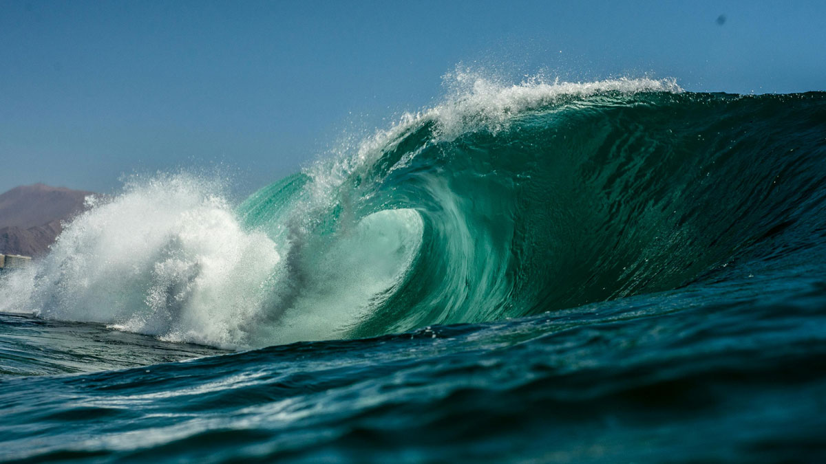
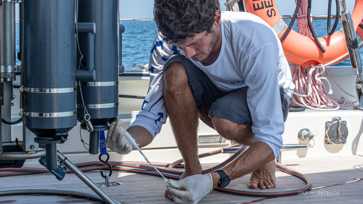
Scientists Tune In to the Ocean’s Sound Waves
A new technique detects inaudible acoustic signals from crashing waves, opening up possibilities for monitoring sea and atmospheric conditions from shore.
Posted inNews
Panama’s Coastal Waters Missed Their Annual Cooldown This Year
The unprecedented failure of tropical upwelling will likely affect the country’s fisheries. Scientists aren’t certain whether it will happen again next year.
Posted inNews
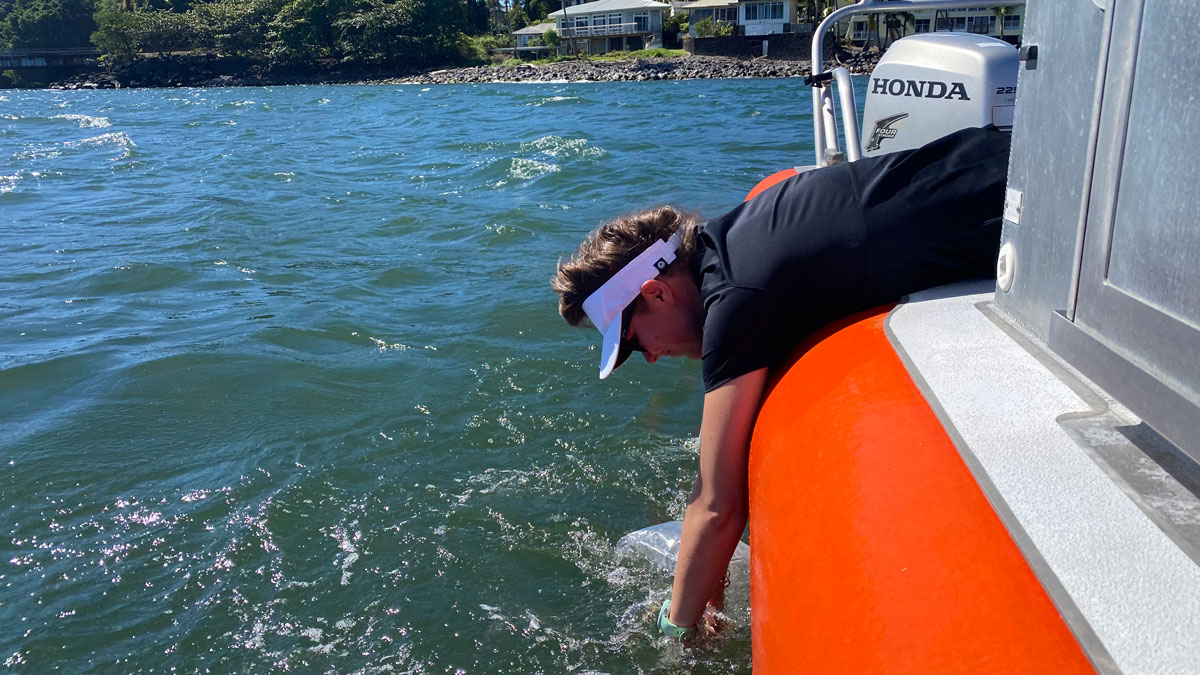
Pinpointing Sewage Seeps in Hawaii
Cesspools and septic systems, as well as coastal development, put Hawaiian coastal waters at risk of contamination.
Posted inNews
Shallow Injection Imperfectly Filters Florida Wastewater
Injection of wastewater into shallow wells is meant to filter nutrients like nitrogen and phosphorus out of the wastewater. But a new study suggests that nutrients aren’t entirely eliminated—and may be polluting coastal waters.
Posted inNews
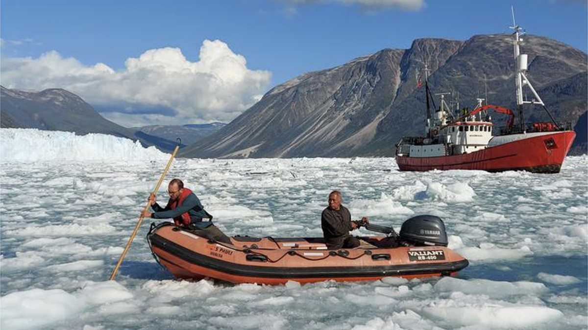
A Fiber-Optic Cable Eavesdrops on a Calving Glacier
A glass thread strung along the bottom of a fjord captured the entire process of calving, from the cracking of ice to the breakup of bergs.
Posted inEditors' Highlights
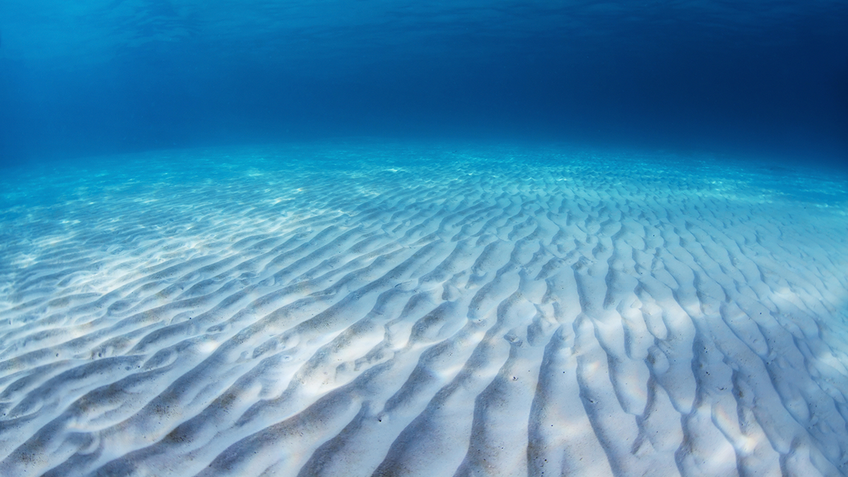
A First Look at How Sand Behaves Inside a Rippled Bed
A detailed numerical model shows how sediment particles experience wave-driven shear stress inside and above a sea bed with sand ripples.
Posted inNews
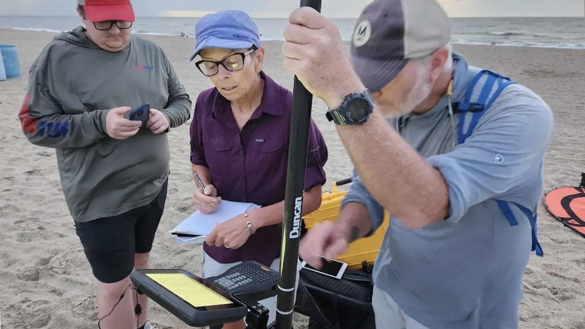
Inside a Georgia Beach’s High-Tech Fight Against Erosion
Armed with drones and lasers, scientists are creating detailed 3D maps of Tybee Island’s shifting shoreline.