
From small coastal towns to international ocean treaties, this EPA scientist has helped integrate social science into how people study and protect natural water resources.
beaches, coasts, & shorelines

Posted inNews
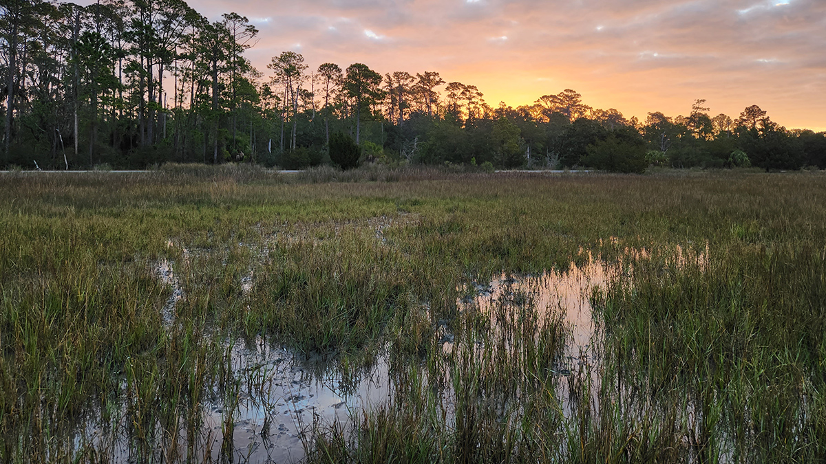
Machine Learning Model Flags Early, Invisible Signs of Marsh Decline
Decreases in underground plant biomass could signal future marsh loss and prompt conservation measures.
Posted inNews
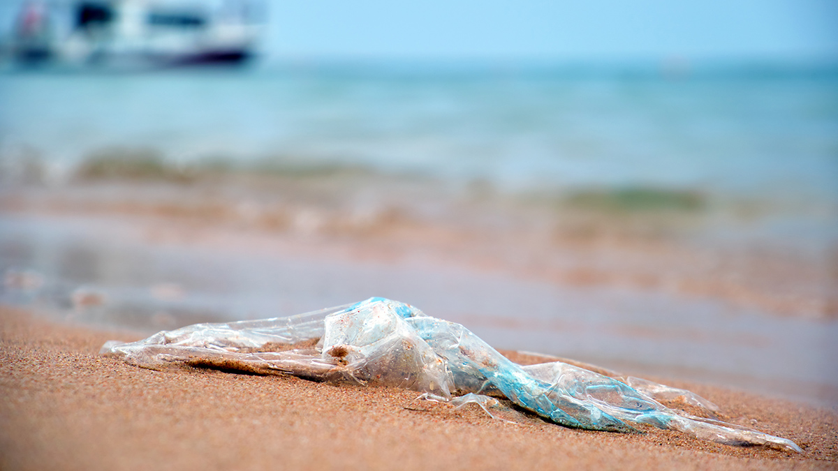
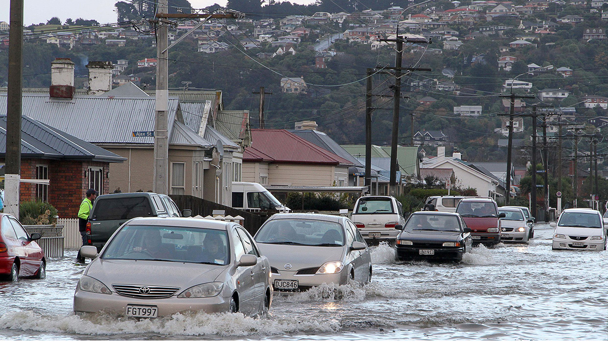
Policy Success: Fees and Bans on Plastic Bags Reduce Beach Trash
Regardless of the patchwork of regulations aimed at limiting plastic bag use in the United States, new research indicates that such legislation does, indeed, limit the number of plastic bags found on beaches.
Posted inResearch Spotlights
Tracing Black Carbon’s Journey to the Ocean
Scientists surveyed a trio of estuaries in pursuit of a missing source of oceanic dissolved black carbon.

Posted inNews
Tracking the Sediment Carried by the Muddy Mississippi
New research shows that typically, less than 10% of land-building alluvium reaches the Bird’s Foot Delta region, the southernmost reach of the river, where it meets the Gulf.
Posted inResearch Spotlights
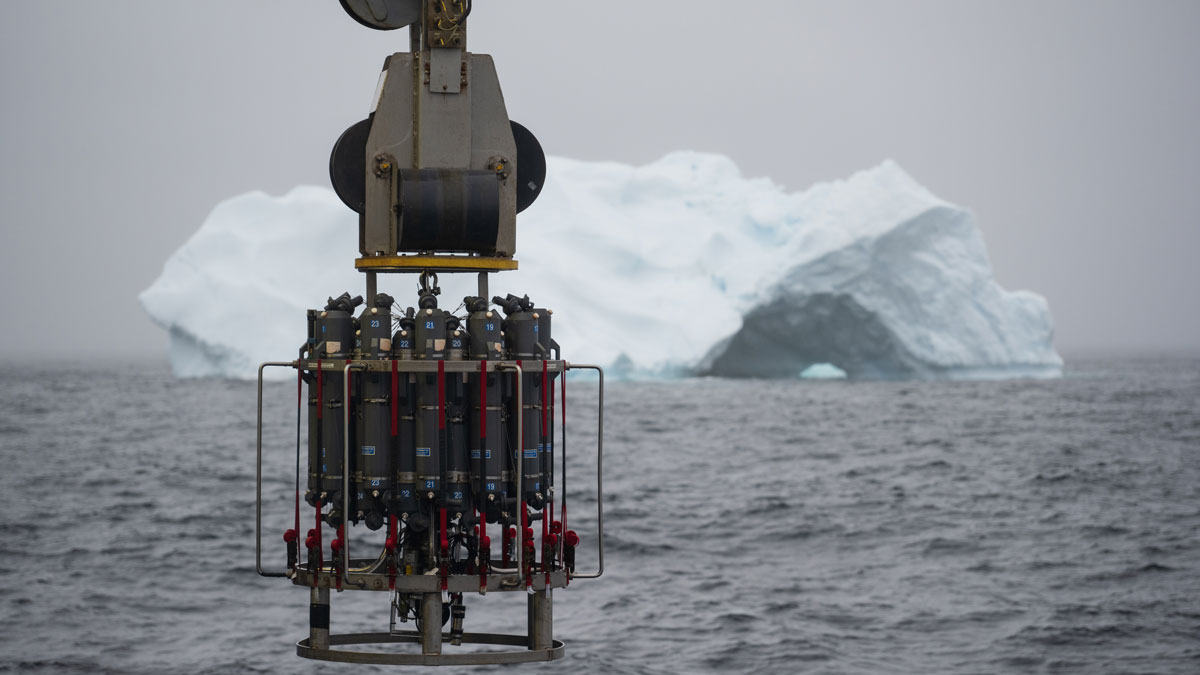
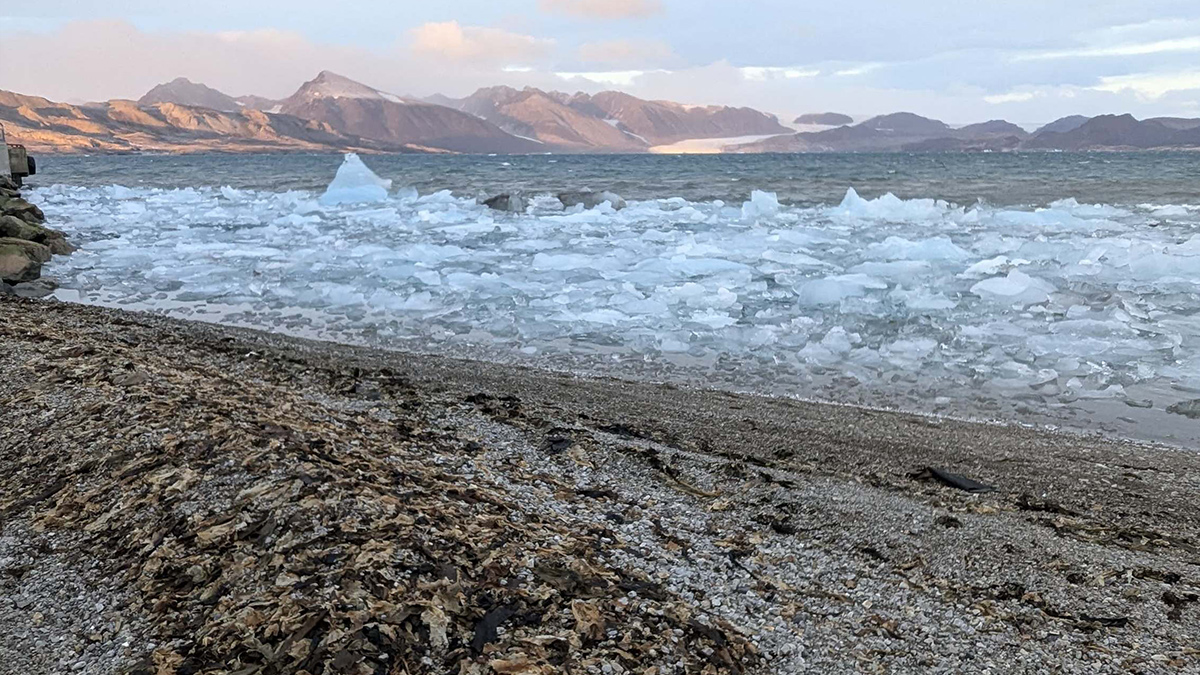
How Greenland’s Glacial Troughs Influence Ocean Circulation
Glacial troughs in Antarctica promote mixing of warm and cold water, affecting global climate. A new study explores whether the same is true in troughs along Greenland’s coastline.
Posted inResearch Spotlights
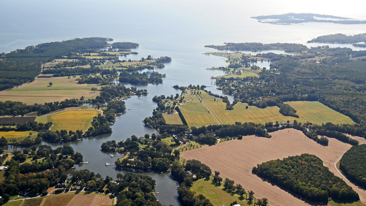
River Alkalinization and Ocean Acidification Face Off in Coastal Waters
Factors ranging from rainfall to nutrient runoff to changing mining and agricultural practices drove decades-long pH trends in the Chesapeake Bay.
Posted inResearch Spotlights
Seaweed Surges May Alter Arctic Fjord Carbon Dynamics
Climate change–accelerated seaweed growth could cause seaweed-dependent microbes to proliferate and consume more oxygen, leading to a rise in oxygen-starved zones.