A new model quantifies the relative contributions of denitrification and other processes of nitrogen uptake, such as by plants, from groundwater in riparian areas around streams.
CC BY-NC-ND 2020
Posted inEditors' Vox
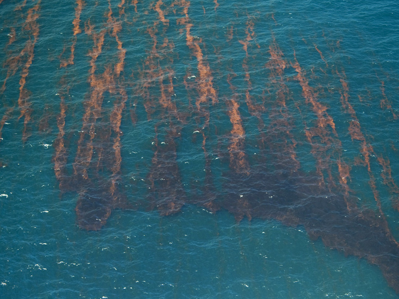
Understanding Material Movement in the Ocean’s Upper Layer
Computer simulations are advancing our understanding of how natural and anthropogenic materials are transported around the upper layer of the ocean.
Posted inNews
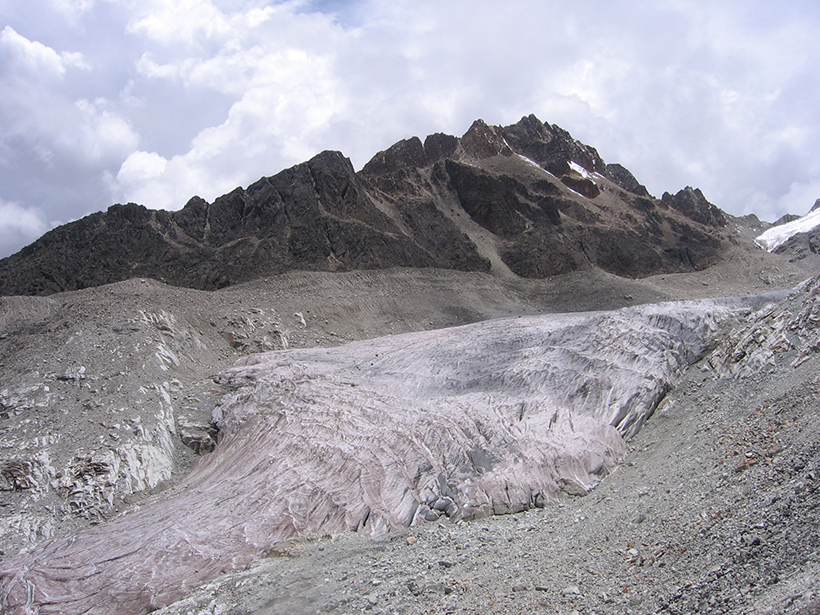
Amazon Fires Contribute to Andean Glacier Melting
New research finds that black carbon emissions produced by fires in the Amazon cause glaciers in the Andes to absorb more sunlight and melt more.
Posted inNews
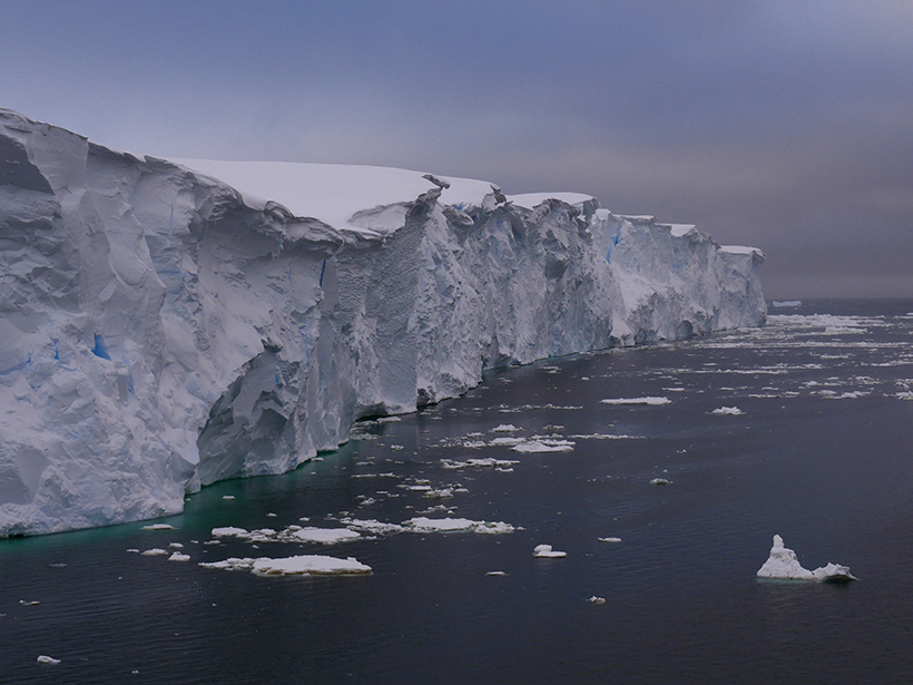
Controlled Explosions Pave the Way for Thwaites Glacier Research
Scientists detonate explosives in West Texas to prepare for fieldwork in West Antarctica.
Posted inNews
2020 Hindsight: A Website for All Paleo-CO2 Data
A new website will soon compile and display all ancient atmospheric CO2 data.
Posted inGeoFIZZ
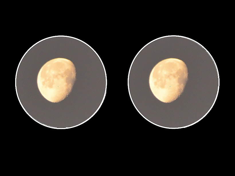
Binocular Astronomy
Explore the night sky with your own two eyes and a touch of magnification.
Posted inNews
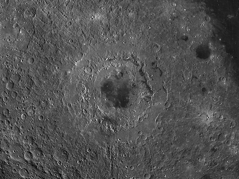
Rolling Rocks Reveal Recent Moonquakes
Using satellite images of the lunar surface, scientists find trails left by boulders shaken loose by seismic activity.
Posted inScience Updates
Understanding High-Energy Physics in Earth’s Atmosphere
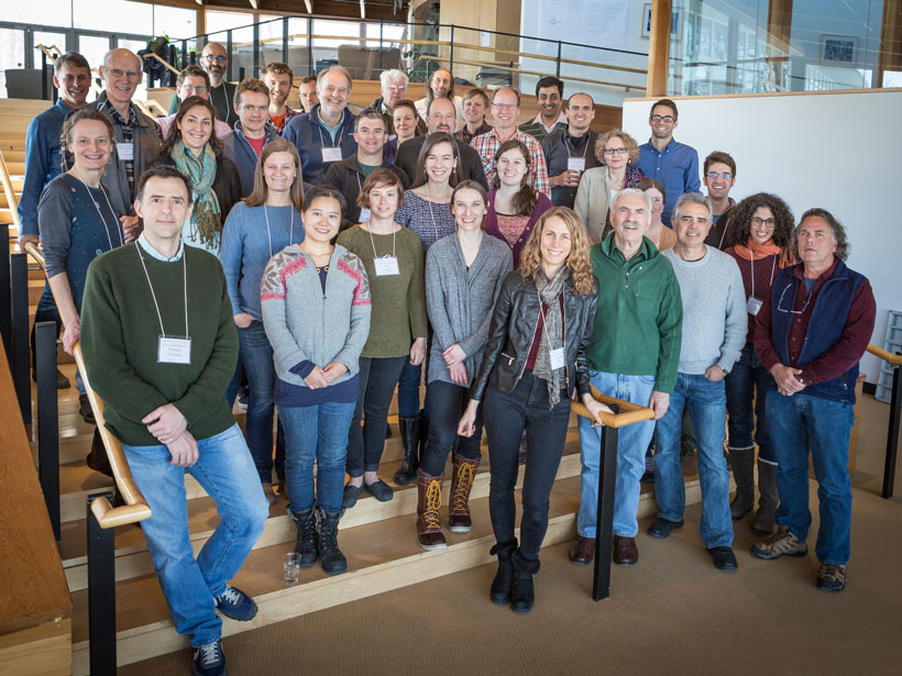
Thunderstorms present a variety of hazards, including emissions of ionizing radiation. An international group of scientists met at an Armenian observatory to share their findings.

Posted inOpinions
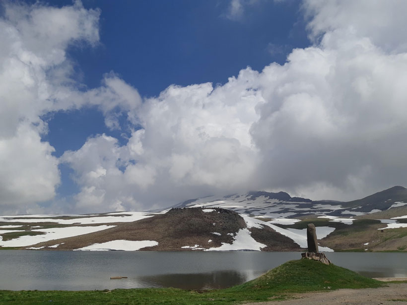
Integrating Input to Forge Ahead in Geothermal Research
A road map for a major geothermal energy development initiative determines proposed priorities and goals by integrating input from stakeholders, data, and technological assessments.
Posted inNews
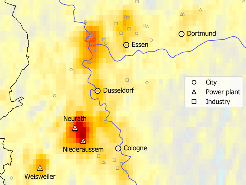
Pinpointing Emission Sources from Space
Satellite data combined with wind models bring scientists one step closer to being able to monitor air pollution from space.