
The U.S. Bureau of Ocean Energy Management releases the highest-resolution bathymetry map of the region to date.
3-Public domain
Posted inScience Updates
Defining Opportunities for Collaboration Across Data Life Cycles
Developing Enterprise Tools and Capacities for Large-Scale Natural Resource Monitoring; Fort Collins, Colorado, 12–13 October 2016

Posted inScience Updates
Geoacoustics Takes to the Sky
Airborne Geoacoustics Workshop; Albuquerque, New Mexico, 3 January 2017
Posted inScience Updates
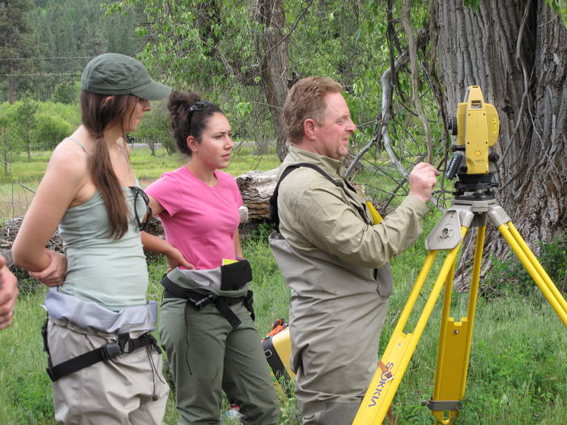
Using Strain Rates to Forecast Seismic Hazards
Workshop on Geodetic Modeling for Seismic Hazard; Menlo Park, California, 19 September 2016

Posted inScience Updates
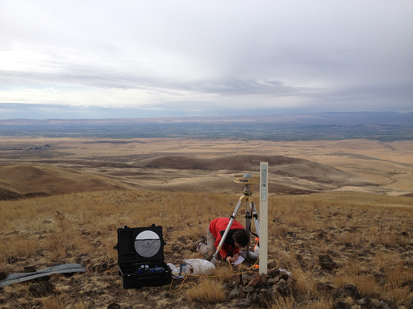
Measuring Earth’s Gravity Field from the Air
2016 Airborne Gravimetry for Geodesy Summer School; Silver Spring, Maryland, 23–27 May 2016
Posted inScience Updates
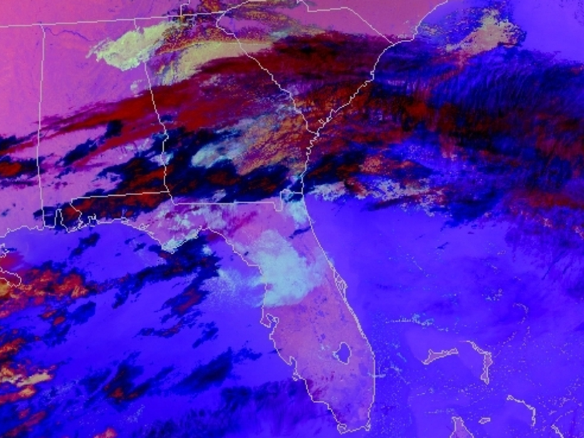
Transforming Satellite Data into Weather Forecasts
A NASA project spans the gap between research and operations, introducing new composites of satellite imagery to weather forecasters to prepare for the next generation of satellites.

Posted inOpinions
State Budgets, Geological Surveys, and the New Reality
As state geological surveys face budget cuts and reorganizations, scientists must step into political spheres to advocate for what they do.
Posted inScience Updates
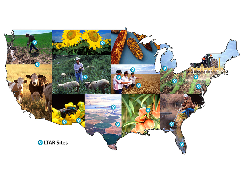
Preparing to Face the Future of Agriculture in the United States
Third Annual Long-Term Agroecosystem Research (LTAR) Meeting; Venus, Florida, 22–26 February 2016
Posted inOpinions
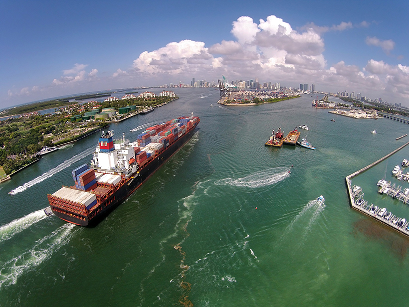
The New Blue Economy: A Vast Oceanic Frontier
On World Oceans Day, let's reflect on the now realizable potential for investing in and building upon new opportunities that beckon from the sea.

Posted inScience Updates
Challenges and Opportunities in Earth-Human Systems Research
Opportunities for Integration of Remote Sensing, Integrated Assessment, and Adaptation; Aspen, Colorado, 11–16 October 2015