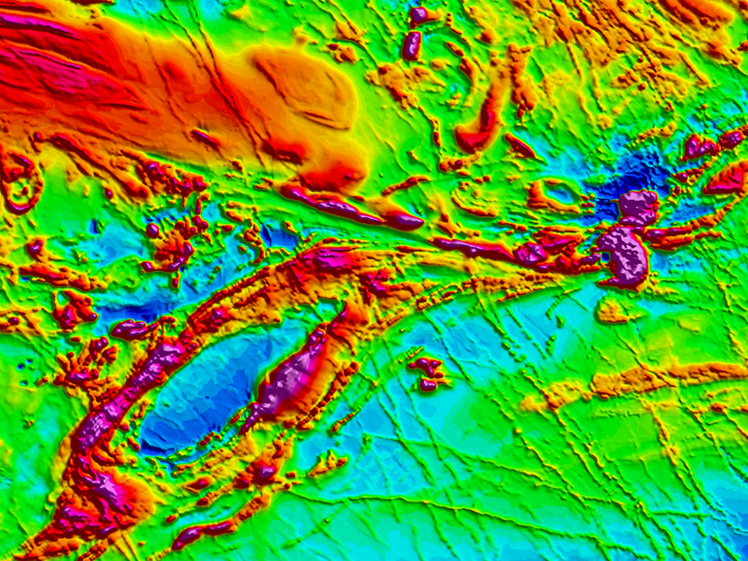
A 2017 executive order mandated a plan to evaluate U.S. access to critical mineral resources, but the airborne magnetic survey maps that support this effort are sadly out of date.
3-Public domain
Posted inOpinions
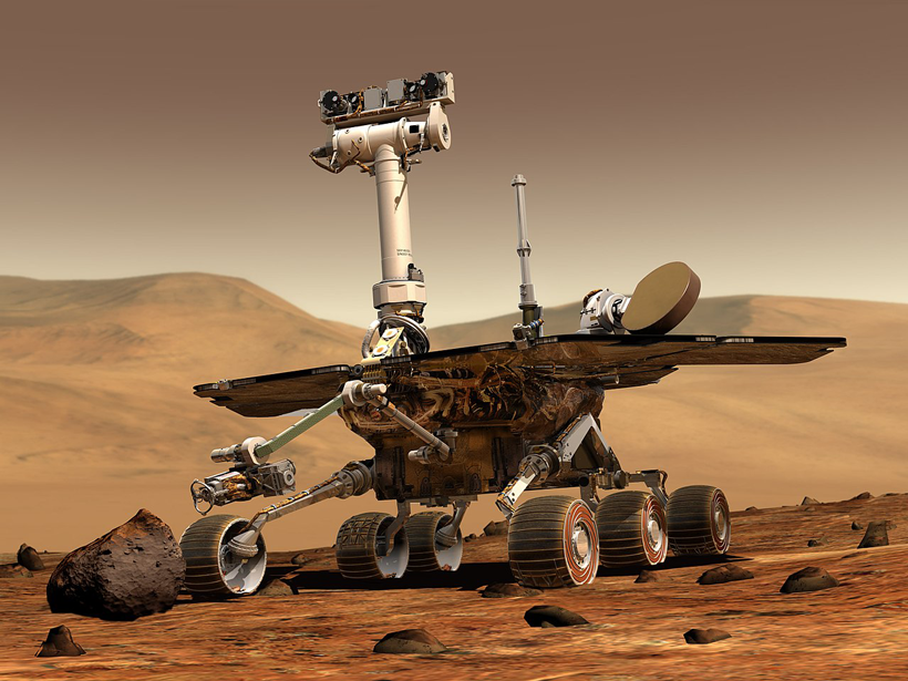
Rest in Peace, Spirit and Opportunity
A scientist on the rover team offers a remembrance of two intrepid explorers.
Posted inScience Updates
Better Approaches to Managing Drought in the American Southwest
USGS Southwest Region 2018 Science Exchange Workshop: Drought Science; Fort Collins, Colorado, 25–27 September 2018
Posted inScience Updates
When Floods Cross Borders, Satellite Data Can Help
With so many eyes in the sky, residents living downstream from dams now have many ways to see—and prepare for—potential dangers.
Posted inNews
Kody Kramer (1985–2018)
His vision and persistence created a 1.4-billion-pixel map of the Gulf of Mexico seafloor—a crucial tool in research on the Deepwater Horizon oil spill and a completely new standard for bathymetry maps.
Posted inScience Updates
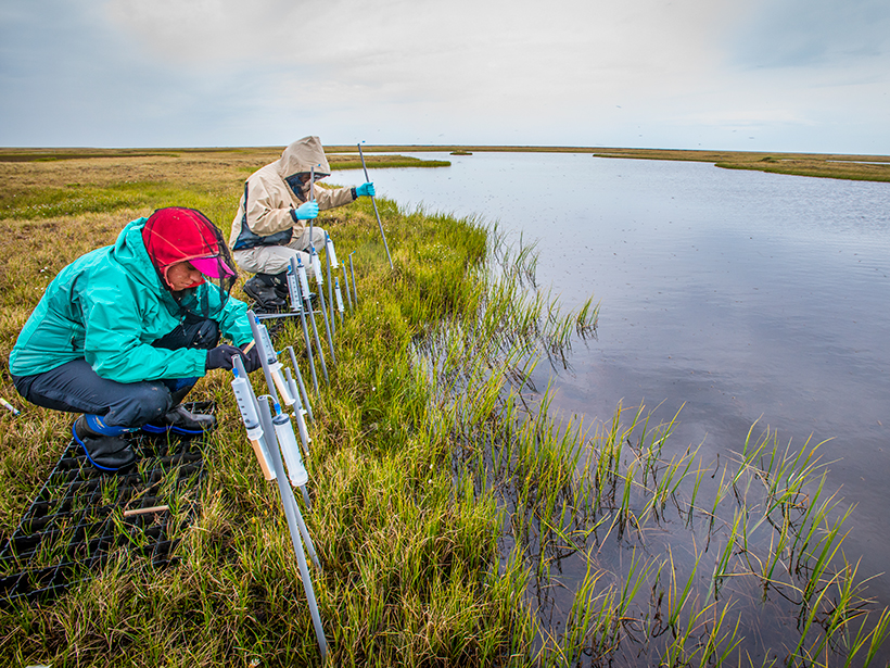
Launching an Accessible Archive of Environmental Data
A new digital archive enables community use of terrestrial and subsurface ecosystem data sets.

Posted inScience Updates
The Fate of Root Carbon in Soil: Data and Model Gaps
Root Trait and Soil Carbon Workshop; Oak Ridge National Laboratory, Oak Ridge, Tennessee, 31 July to 1 August 2018
Posted inScience Updates
Taking Magnetotelluric Data out of the Drawer
Magnetic and electric field measurements at Earth’s surface provide information on Earth’s interior and on space weather. An open-source central repository of these data has received a major update.

Posted inScience Updates
Agencies Collaborate to Better Monitor and Model the Environment
Interagency Collaborative for Environmental Modeling and Monitoring: Monitoring and Model Data Fusion; Rockville, Maryland, 24–25 April 2018
Posted inScience Updates
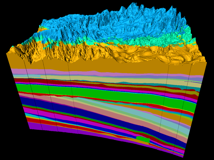
Geology in 3-D and the Evolving Future of Earth Science
Geologic Mapping Forum; Minneapolis, Minnesota, 26–29 March 2018