• About
  • Sections
  • Topics
    • Climate
    • Earth Science
    • Oceans
    • Space & Planets
    • Health & Ecosystems
    • Culture & Policy
    • Education & Careers
    • Opinions
  • Projects
    • ENGAGE
    • Editors’ Highlights
    • Editors’ Vox
    • Eos en Español
    • Eos 简体中文版
    • Print Archive
  • Blogs
    • Research & Developments
    • The Landslide Blog
  • Newsletter
  • Submit to Eos
  • AGU.org
  • Career Center
  • Join AGU
  • Give to AGU
  • About
  • Sections
  • Topics
    • Climate
    • Earth Science
    • Oceans
    • Space & Planets
    • Health & Ecosystems
    • Culture & Policy
    • Education & Careers
    • Opinions
  • Projects
    • ENGAGE
    • Editors’ Highlights
    • Editors’ Vox
    • Eos en Español
    • Eos 简体中文版
    • Print Archive
  • Blogs
    • Research & Developments
    • The Landslide Blog
  • Newsletter
  • Submit to Eos
Skip to content
  • AGU.org
  • Career Center
  • Join AGU
  • Give to AGU
Eos

Eos

Science News by AGU

Support Eos
Sign Up for Newsletter
  • About
  • Sections
  • Topics
    • Climate
    • Earth Science
    • Oceans
    • Space & Planets
    • Health & Ecosystems
    • Culture & Policy
    • Education & Careers
    • Opinions
  • Projects
    • ENGAGE
    • Editors’ Highlights
    • Editors’ Vox
    • Eos en Español
    • Eos 简体中文版
    • Print Archive
  • Blogs
    • Research & Developments
    • The Landslide Blog
  • Newsletter
  • Submit to Eos

F. Hossain

High water flow in the Brahmaputra River
Posted inScience Updates

When Floods Cross Borders, Satellite Data Can Help

by F. Hossain, M. Bonnema, N. Biswas, S. Ahmad, B. Duong and N. D. Luong 15 February 201910 March 2023

With so many eyes in the sky, residents living downstream from dams now have many ways to see—and prepare for—potential dangers.

Posted inScience Updates

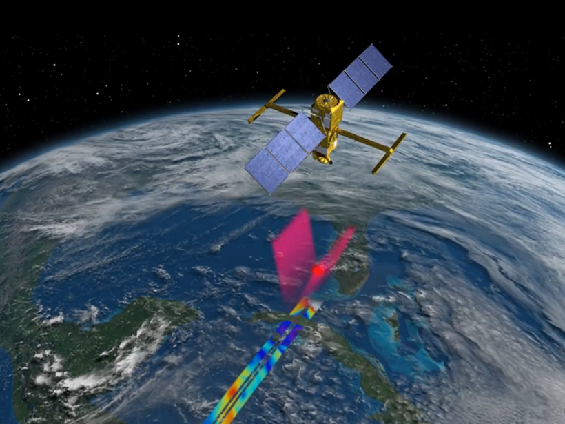
Putting Satellite Maps of Surface Water to Practical Use

by F. Hossain, A. Andral and M. Srinivasan 19 September 201715 March 2023

2nd SWOT Application User Workshop: Engaging the User Community for Advancing Societal Applications of the Surface Water Ocean Topography (SWOT) Mission, Reston, Virginia, 5–6 April 2017

A Pakistani farmer checks his cell phone for weather updates and irrigation water estimates.
Posted inScience Updates

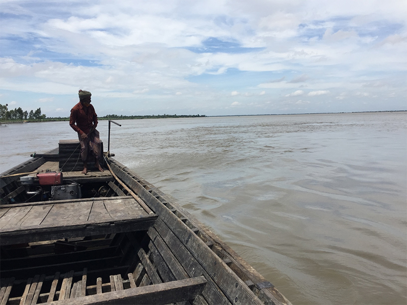
Growing More with Less Using Cell Phones and Satellite Data

by F. Hossain, N. Biswas, M. Ashraf and A. Z. Bhatti 21 June 201719 October 2021

Researchers from the University of Washington and Pakistan are using 21st century technology to revive farming as a profitable profession in the Indus Valley.

Posted inScience Updates

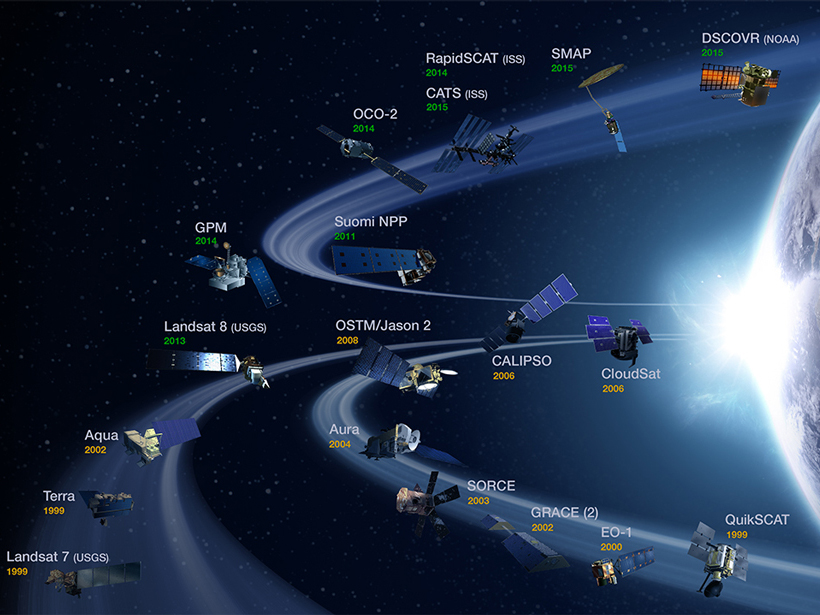
Abundance of Satellite Data Presents Opportunity, Challenge

by F. Hossain, V. H. Ramos and R. Mugo 15 January 201610 February 2023

Globalizing Societal Application of Scientific Research and Observations from Remote Sensing: The Path Forward; Tacoma, Washington, 23–25 June 2015

Posted inOpinions

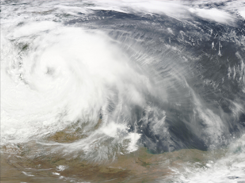
Data for All: Using Satellite Observations for Social Good

by F. Hossain 14 October 201527 July 2022

The satellite and science communities must engage with stakeholders to identify priorities and capabilities, enabling the most beneficial use of abundant satellite sensing data.

A view of a Washington, D.C., skyline from the Potomac River at night. The Lincoln Memorial (at left) and the Washington Monument (at right) are lit against a purple sky. Over the water of the Potomac appear the text “#AGU24 coverage from Eos.”

Features from AGU Publications

Research Spotlights

New Global River Map Is the First to Include River Bifurcations and Canals

15 May 202514 May 2025
Editors' Highlights

Old Forests in a New Climate

15 May 202514 May 2025
Editors' Vox

Decoding Crop Evapotranspiration

6 May 20256 May 2025
Eos logo at left; AGU logo at right

About Eos
ENGAGE
Awards
Contact

Advertise
Submit
Career Center
Sitemap

© 2025 American Geophysical Union. All rights reserved Powered by Newspack