Source: Journal of Advances in Modeling Earth Systems (JAMES)
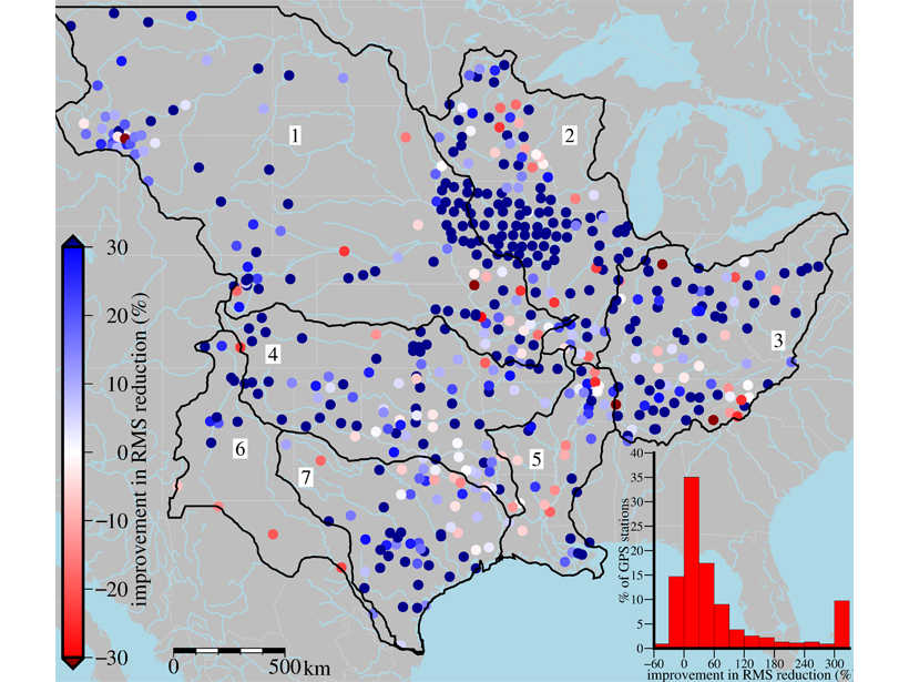
The Gravity Recovery and Climate Experiment (GRACE) satellite mission has proved very useful for tracking fluctuations in terrestrial water storage, but suffers from very low spatial resolution, meaning only broad fluctuations across hundreds of kilometers can be detected. Karegar et al. [2018] present a hybrid inverse modeling approach that combines GRACE data with local GPS measurements of vertical ground surface displacements and a high-resolution hydrologic model. Combining these three independent data sources within two mathematical approaches, each component based on different assumptions and principles, the authors bridge scales and produce more precise estimates of terrestrial water mass variations. This multi-faced inversion approach can provide better constraints on water cycle processes, inform improved hydrologic modeling and contribute to climate monitoring efforts.
Citation: Karegar, M. A., Dixon, T. H., Kusche, J., & Chambers, D. P. [2018]. A new hybrid method for estimating hydrologically induced vertical deformation from GRACE and a hydrological model: An example from Central North America. Journal of Advances in Modeling Earth Systems, 10. https://doi.org/10.1029/2017MS001181
—Paul A. Dirmeyer, Editor, JAMES
Text © 2018. The authors. CC BY-NC-ND 3.0
Except where otherwise noted, images are subject to copyright. Any reuse without express permission from the copyright owner is prohibited.