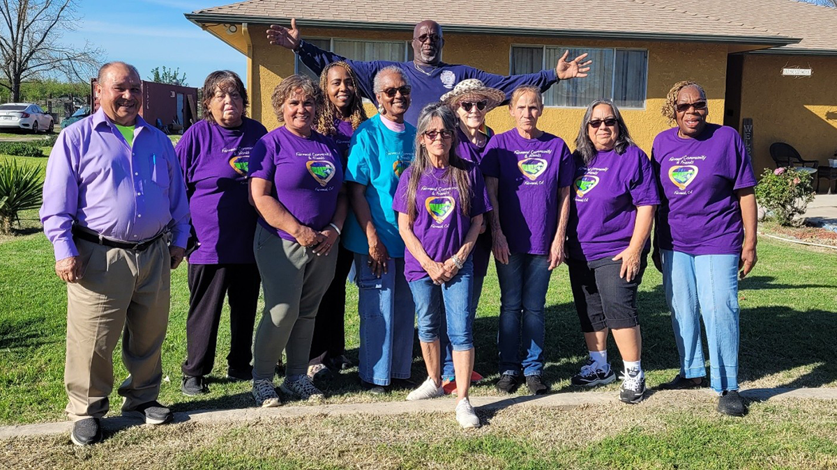
A community-led project in California shows how collaboration can reshape farmland to improve water resources, restore native plants, and create recreational space.
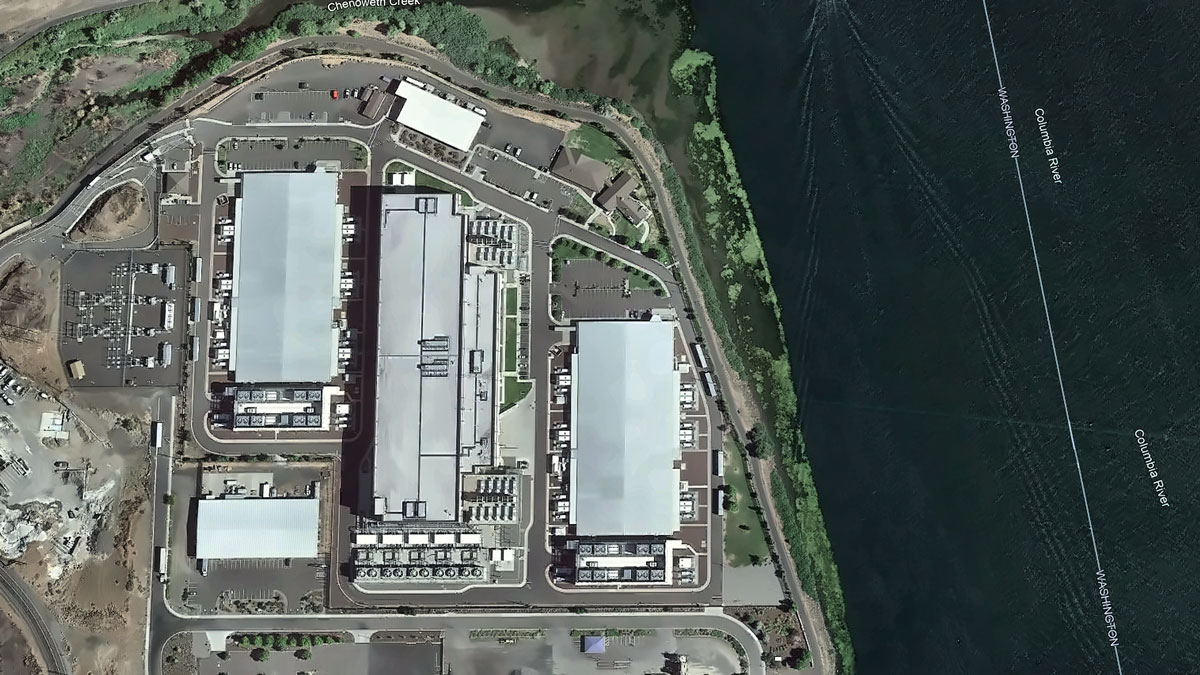
groundwater
Posted inResearch Spotlights
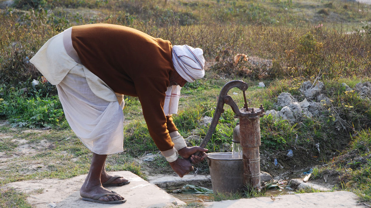
Students Enable Widespread Water Monitoring in India
High school students and other volunteers monitored water for pollutants just as well as professionals.
Posted inScience Updates
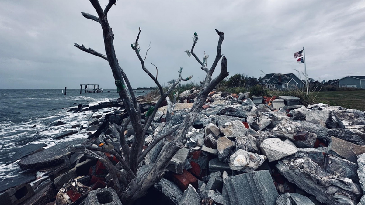
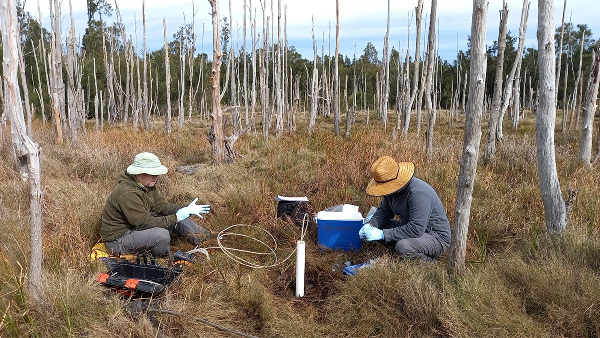
Confronting Salty Problems in the Coastal Plain
An interdisciplinary network of scientists and stakeholders is working to understand how saltwater intrusion and sea level rise are affecting rural communities and to help address the consequences.
Posted inNews
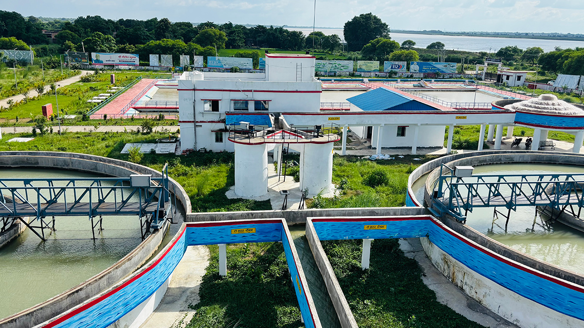
In Bihar, Groundwater Treatment Units Were Installed in Regions That Didn’t Need Them
Some regions that did need systems to treat carcinogens such as arsenic went without.
Posted inOpinions
The Genesis Mission Needs Hydrology: Here’s How to Incorporate It
By positioning water security as one of the “most challenging problems of this century,” the Genesis Mission can become the sandbox in which AI reshapes how the United States measures, models, and manages water.
Posted inNews
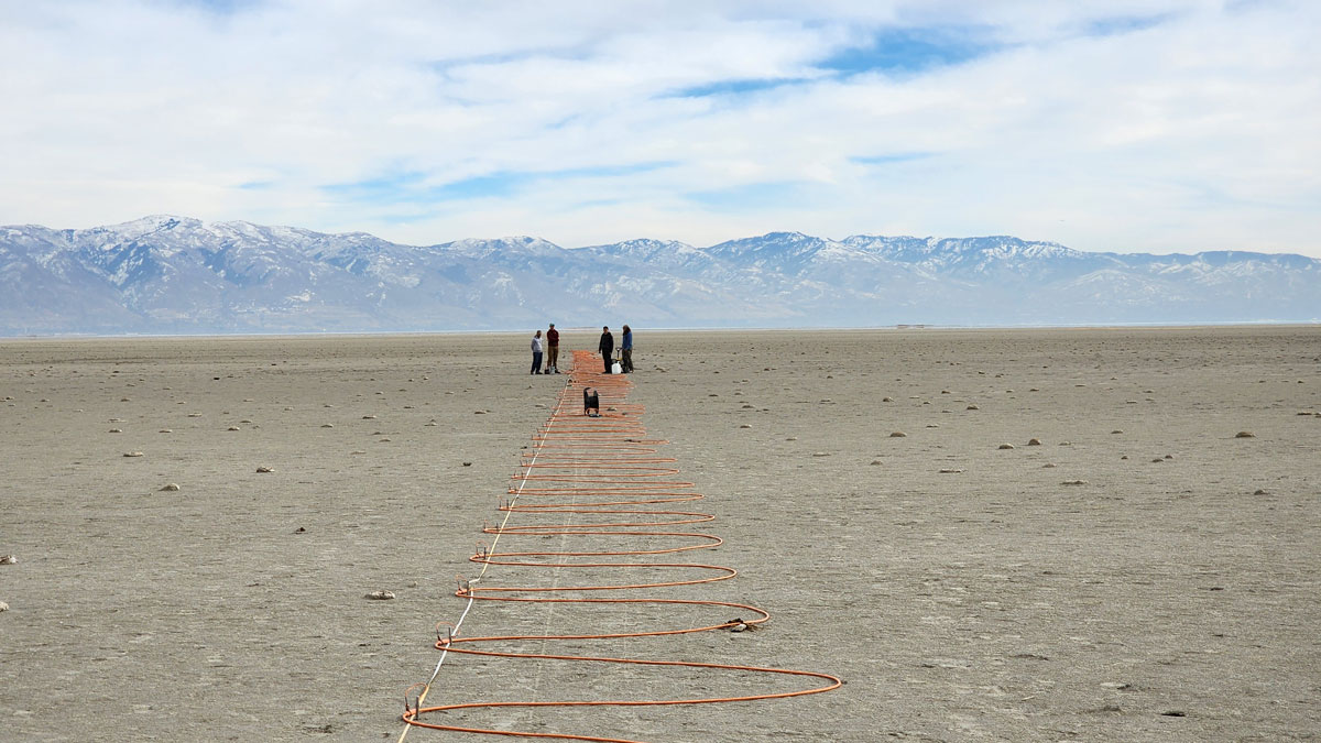
What’s Below the Great Salt Lake? More Water
Pools of fresh water and salt water not far below the lake bed help explain some of the lake’s curious features, including mineral mounds and reed islands.
Posted inNews
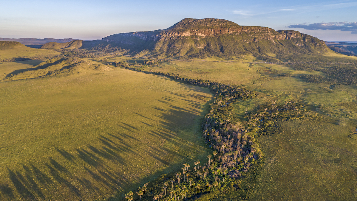
These Underprotected Brazilian Wetlands Store Carbon with Staggering Density
The Cerrado, largely overlooked in climate science and policy, is a critical carbon sink, according to new research.
Posted inEditors' Highlights
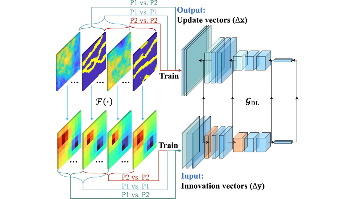
Robustness Through Diversity: Learning from Heterogeneous Aquifers
Learning from diverse aquifer structures, which are all over the place, leads to robust inverse methods.
Posted inEditors' Vox
Coastal Wetlands Restoration, Carbon, and the Hidden Role of Groundwater
Coastal wetland restoration offers major carbon benefits, and understanding groundwater processes helps explain how these ecosystems store carbon over the long term.
Posted inFeatures
Pollution Is Rampant. We Might As Well Make Use of It.
Human-made substances hold dangers for the environment, but they also give scientists a view into recent history.