Editors’ Highlights are summaries of recent papers by AGU’s journal editors.
Source: Earth and Space Science
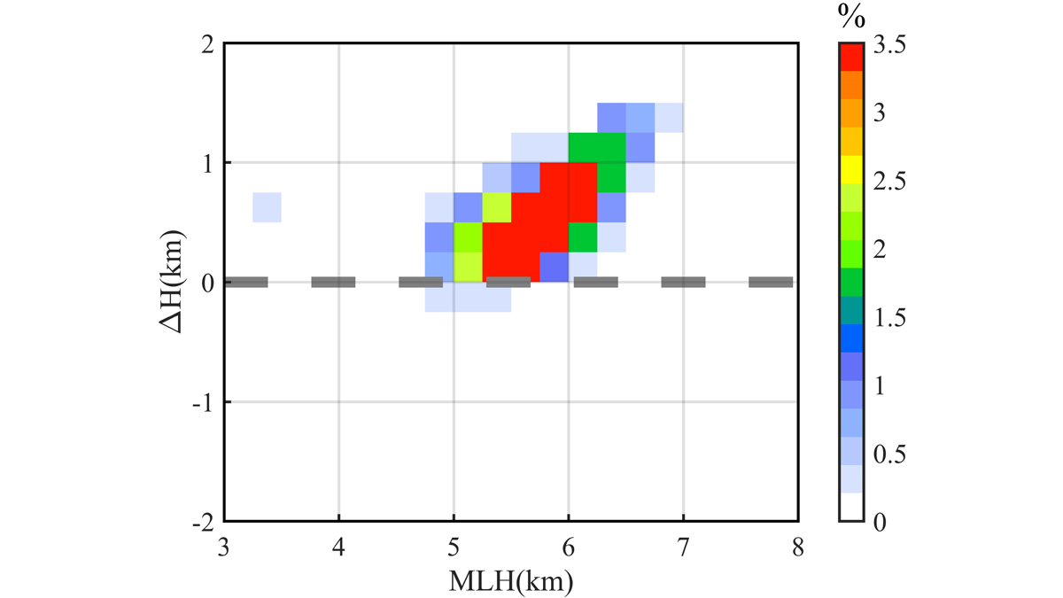
The melting layer of precipitation is a narrow area where snowflakes melt into raindrops, where the hydrometeors undergo rather complex microphysical processes. An understanding the melting layer provides insights into how precipitation develops and allows for accurate estimation of rainfall and microphysical characterization of clouds.
Using observations from the dual‐frequency precipitation radar (DPR) onboard the Global Precipitation Measurement mission (GPM) satellite, Qiao et al. [2022] analyze the characteristics and microphysical processes of the melting layer in cyclones over the western North Pacific.
The statistical results show that the height of the top boundary of the melting layer is higher than the freezing level (0 degrees centigrade level, freezing level), and the reflectivity factor of freezing level is larger than that of the top of melting layer. The height of melting layer is the result of the combined effect of latitude and stage of cyclone. When the ice particles pass through the melting layer, the mass‐weighted mean diameter, the generalized intercept parameter, and the distributions of the reflectivity factor increase, indicating that growth mechanism and breakup process. This research demonstrates an effective method for future research on the melting layer.
Citation: Qiao, J., Ai, W., Hu, X., Hu, S., & Du, X. [2022]. Characteristics of melting layer in cyclones over the Western North Pacific detected by the GPM dual-frequency precipitation radar. Earth and Space Science, 9, e2021EA001967. https://doi.org/10.1029/2021EA001967
—Jonathan H. Jiang, Editor, Earth and Space Science