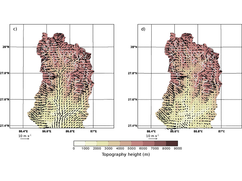
Surface winds in a Himalayan valley are found to vary daily and seasonally due to factors including pressure gradient, advection, turbulent vertical mixing, and the presence of glaciers.
Editors’ Highlights
Posted inEditors' Highlights
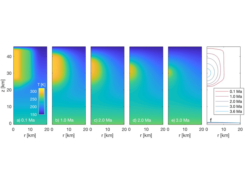
Erupting Saltwater and the Bright Spots in Occator Crater, Ceres
Simulations show that pockets of brine that form from the addition of impact heat to the crust of Ceres could have erupted on the floor of Occator crater, explaining the presence of the bright spots.

Posted inEditors' Highlights
Formation of Sedimentary Deposits: Bypass Versus Mass Extraction
Grain size and sediment delivery pathways from the Ganges delta have been used to model downstream facies changes.

Posted inEditors' Highlights
How Brown Carbon and Coatings on Black Carbon Affect Absorption
While ambient black carbon absorption is shown largely independent of coatings, distinct types of atmospheric brown carbon coexist, deriving from primary emissions and secondary processing.
Posted inEditors' Highlights
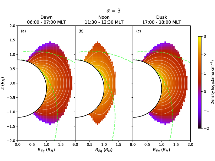
Plasma Density Distribution in Mercury’s Magnetosphere
A new measurement of plasma density distribution in Mercury’s magnetosphere obtained from observations of field line resonance events provides necessary constraint for many planetary science issues.
Posted inEditors' Highlights
Assessing the Benefits of Improved Space Weather Forecasting
A new framework assesses the economic impact of space weather on power distribution networks and the supply of electricity.
Posted inEditors' Highlights
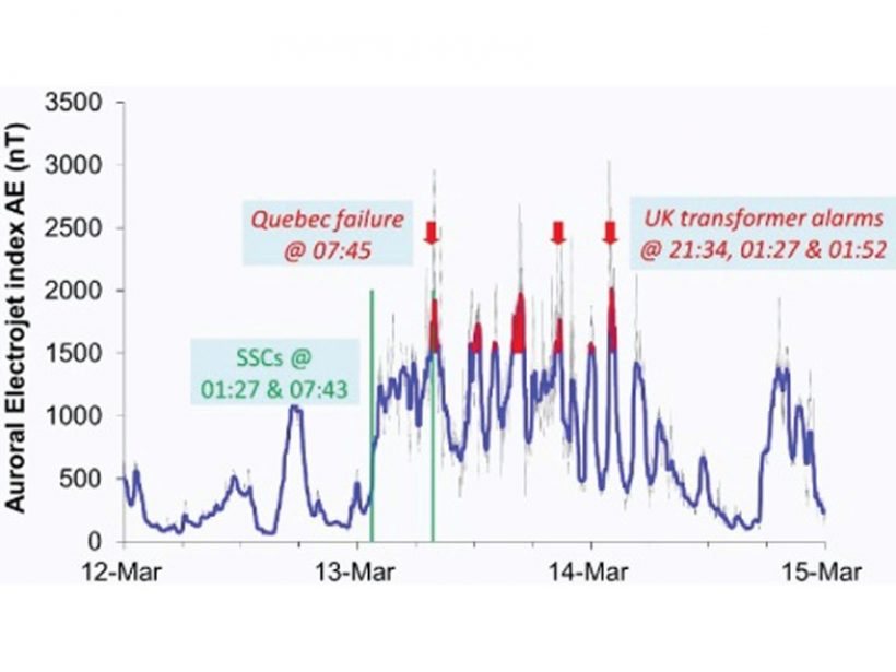
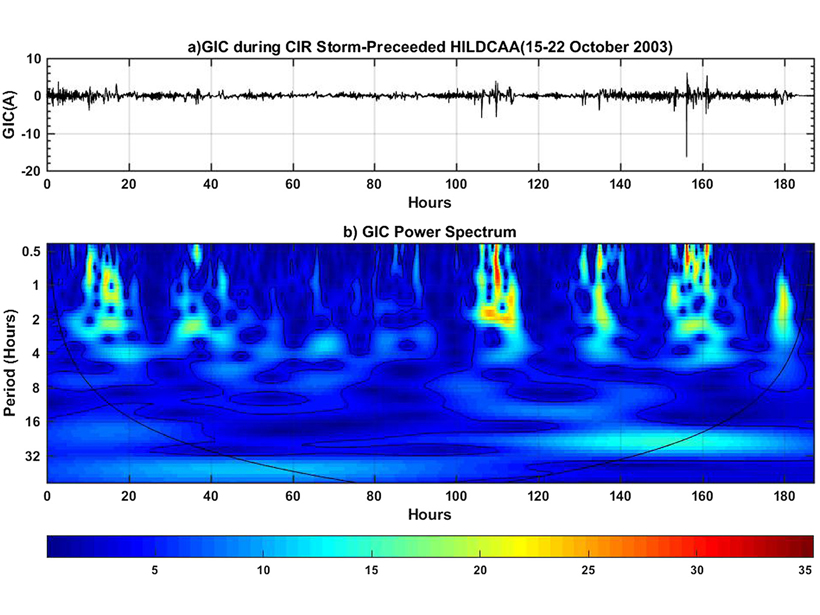
Can Moderate Space Weather Have Major Impacts?
Pipeline corrosion is an example of why we need better awareness of how long-term exposure to moderate space weather may have significant economic impact by slowly degrading vulnerable systems.
Posted inEditors' Highlights
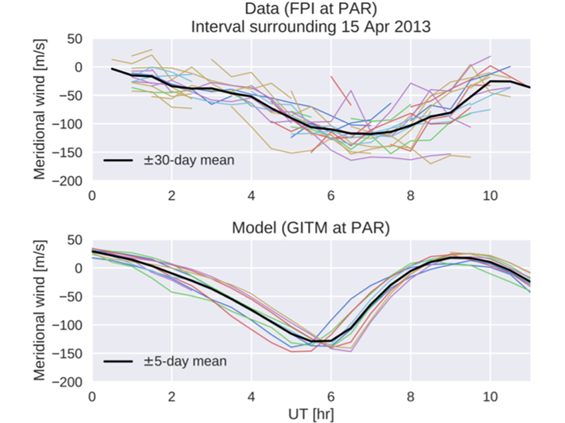
Windy Weather in the Thermosphere
The weather in the thermosphere includes winds that buffet spacecraft as they orbit the Earth, but how well can these winds be modeled?
Posted inEditors' Highlights
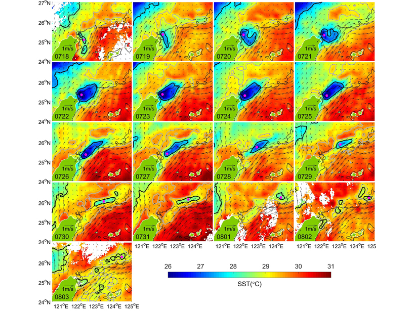
Route for Upwelled Kuroshio Waters into East China Sea Shelf
A simple algorithm obtains short-term variations in upwelling, which show that the subsurface Kuroshio waters can upwell directly into the East China Sea shelf under the advection of the Kuroshio.
Posted inEditors' Highlights
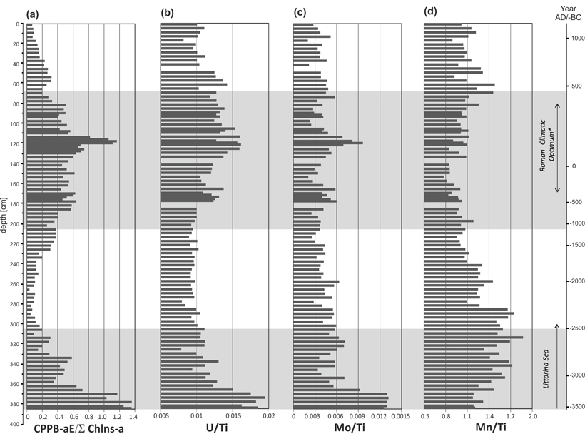
Baltic Bacterial Blooms Over the Millennia
Eutrophication not only is a present-day anthropogenic phenomenon in the southern Baltic but also occurred over the past few millennia, with cyanobacterial blooms during times of climate warming.