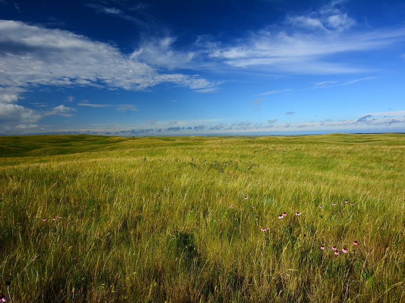
The land surface is the lower boundary of the atmosphere. This interface between land and air is particularly important for predicting surface air temperature and precipitation. Although this is the region of the atmosphere that humans inhabit and scientists can easily monitor, it is very difficult to simulate in current weather and climate models.
Specific geographic regions of the globe have been identified as land-atmosphere coupling “hot spots” [Koster et al., 2004], where small changes in the atmosphere or land surface can feedback to amplify the response in local temperature and precipitation. One identified “hot spot” region is the central United States, which is also a region where weather and climate models consistently simulate warmer surface temperatures than ground-based observations.
It is challenging to correctly attribute the warm biases to specific model processes because of the complexities of land-atmosphere interactions. Four papers recently published in Journal of Geophysical Research: Atmospheres synthesize results from the CAUSES (Clouds Above the United States and Errors at the Surface) project, a suite of model experiments designed to understand the mid-latitude summer warm model biases in the central United States. CAUSES capitalizes on measurements at the Department of Energy’s Southern Great Plains atmospheric observatory to provide a comprehensive dataset to evaluate eleven numerical weather prediction (NWP) models and a subset of CMIP5 models.
First, Morcrette et al. [2018] provide an overview of the CAUSES project and experiment design, and quantifies the pervasive summer temperature bias in eleven NWP models. Two companion papers delve deeper into the physical processes that drive this surface temperature bias in the NWP models, including the cloud-radiation feedbacks [van Weverberg et al., 2018] and land surface and energy balance parameterizations [Ma et al., 2018]. The fourth manuscript [Zhang et al., 2018] moves beyond the NWP models to understand and diagnose the warm bias in Atmospheric Model Intercomparison Project (AMIP) simulations from the CMIP5 models.
Together, these manuscripts attribute the central United States warm bias to the simulation of the deep convective clouds and the evaporative fraction at the surface. These results published in Journal of Geophysical Research: Atmospheres provide a new set of inter-model comparisons that evaluate not just the land-atmosphere coupling, but also attribute the model biases to specific land and atmospheric processes with the ultimate goal of improving future weather and climate simulations.
—Allison Steiner, Editor, JGR: Atmospheres; and Climate and Space Sciences and Engineering, University of Michigan; email: [email protected]
Citation:
Steiner, A. (2018), Diagnosing the warm bias in the central United States, Eos, 99, https://doi.org/10.1029/2018EO095669. Published on 23 April 2018.
Text © 2018. The authors. CC BY-NC-ND 3.0
Except where otherwise noted, images are subject to copyright. Any reuse without express permission from the copyright owner is prohibited.

