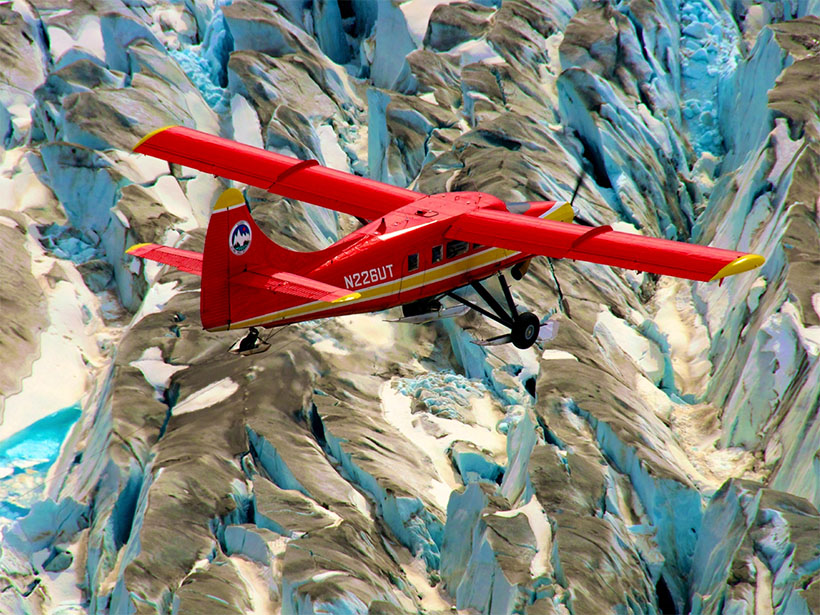
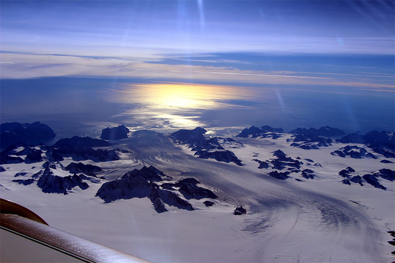
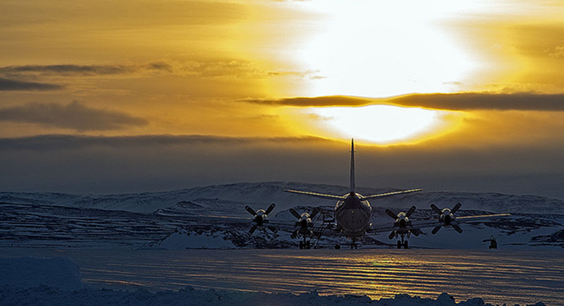
NASA’s Operation IceBridge (OIB) was an airborne mission to survey changing land and sea ice across the Arctic, Antarctic, and Alaska that operated between 2009 and 2021. OIB flew 15 different aircraft nearly one thousand times over 13 years with a variety of instruments to understand how the ice in those regions was changing, why those changes were occurring, and how we might project future changes. It was one of the largest and longest-running scientific airborne survey of the polar regions ever. A recent article published in Reviews of Geophysics examines the 13 year mission. We asked the authors about the findings from OIB and what these might mean for future missions.
What was OIB’s primary goal?
The mission’s primary goal was to bridge the nine-year gap in observations between two successive NASA satellites, ICESat, which operated from 2003 to 2009, and ICESat-2, which launched in 2018 and continues to operate today. These satellites deployed laser altimeters to survey the whole of the Earth. Without OIB, knowledge of changes in ice mass would’ve been substantially limited between 2009 and 2018, and our ability to interpret those changes would’ve suffered even more so.
What kinds of data were collected about land and sea ice, and what methods were used to collect them?
Because we were primarily concerned with the data gap in laser altimetry from these two satellites, we deployed a downward-pointing laser altimeter on every flight. Along with that core instrument, we also deployed radar sounders to measure ice and snow thickness, gravimeters to measure bathymetry, magnetometers to detect geologic boundaries, and cameras to detect changes in surface types (for example, open water leads between sea ice floes).
What were some of the most significant advances in our understanding of the polar cryosphere as a result of this program?
For glaciers and ice sheets, OIB dramatically improved knowledge of yearly changes in outlet glaciers, their total thickness, snowfall rates and their evolution over time, bathymetry both within fjords and beneath floating ice shelves, and the hydrology of water on the surface, within and beneath ice sheets.
For sea ice, OIB significantly advanced our understanding of the variability in sea ice freeboard, thickness and its snow cover across both space and time. The self-consistent and operational analyses of laser altimetry, imagery and snow radar measurements were especially important in making sense of sea ice properties.
Were there any surprising or unanticipated discoveries on this mission?
So many surprises! For ice sheets, the highlights included a method for densifying OIB thickness measurements within difficult-to-sound deep channels that was self-consistent with satellite data. OIB radar data also helped reveal the extent of a shallow firn aquifer within the Greenland Ice Sheet, how vulnerable many Greenland and Antarctic outlet glaciers were to ocean-driven melting at their grounding zones, and the dominance of surface melting in driving retreat of Alaskan glaciers. For sea ice, OIB data revealed that snow thickness on Arctic sea ice had decreased significantly since data were gathered manually decades ago.
Although the OIB mission is now complete, how will the data continue to be of use?
While our campaigns are now over, a few more datasets are still trickling in, and most OIB datasets have arguably yet to fully explored. All the data are archived at the National Snow Ice and Data Center, which is part of a set of NASA-sponsored archiving facilities that make the data available in perpetuity. OIB collected hundreds of terabytes of data, and it will take years if not decades to fully interpret it all. We expect the unexpected – new discoveries using OIB data – will continue for years to come.
That expectation formed part of our motivation in writing this review article. We want to enable future scientists who begin exploring OIB datasets – even just a few years from now – to understand why OIB was designed and conducted the way it was, and what its direct participants considered to be its most essential outcomes, so that those future scientists can put what they discover into context.
—Joseph A. MacGregor ([email protected]; ![]() 0000-0002-5517-2235), Linette Nicole Boisvert (
0000-0002-5517-2235), Linette Nicole Boisvert (![]() 0000-0003-4778-4765), and Brooke Medley (
0000-0003-4778-4765), and Brooke Medley (![]() 0000-0002-9838-3665), NASA Goddard Space Flight Center, USA
0000-0002-9838-3665), NASA Goddard Space Flight Center, USA
Citation:
MacGregor, J. A., L.N. Boisvert, and B. Medley (2021), Wheels down for NASA’s Operation IceBridge, Eos, 102, https://doi.org/10.1029/2021EO158975. Published on 25 June 2021.
Text © 2021. The authors. CC BY-NC-ND 3.0
Except where otherwise noted, images are subject to copyright. Any reuse without express permission from the copyright owner is prohibited.