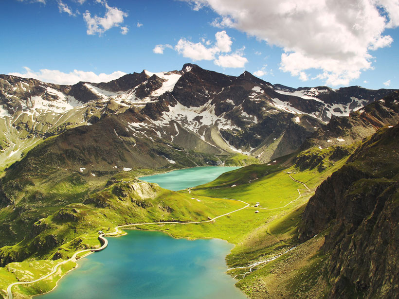
Source: Journal of Geophysical Research: Solid Earth
Earth’s fresh water is often on the move, for example, as snow and rain fall, glaciers grow or melt, and reservoirs fill or drain, with important implications for humans and climate. Quantifying water stores and understanding where and when natural disasters like droughts and extreme floods—which are becoming more likely as the global climate changes—will strike are priorities for governments and resource managers. On a global scale, one of the best ways to track the movement of terrestrial water is to measure subtle variations in the planet’s gravity. Water represents a significant source of mass on Earth, and as it moves around the planet, satellites can detect the resulting perturbations in gravity over time.
The premier instrument for collecting these kinds of gravity measurements comprises a pair of satellites known as the Gravity Recovery and Climate Experiment (GRACE). Data from the GRACE mission and its successor, GRACE Follow-On, have provided a detailed account of terrestrial water movement on the planet’s surface. However, the data these satellites collect have limited resolution both temporally (monthly) and spatially (300–500 kilometers). These coarse resolutions make drought and flood forecasting more challenging. Recently, scientists have tried to combine GRACE data with climate models to estimate water movement on shorter timescales, achieving only mixed success.
In a new study, Croteau et al. describe a new method for analyzing GRACE data to estimate terrestrial water movement on daily timescales. The technique works backward from the monthly water mass concentration data provided by GRACE. The researchers find that by decreasing the spatial resolution—zooming out to consider large swaths of land of between 400,000 and 800,000 square kilometers—they can recover daily signals of terrestrial water movement. They are also able to quantify the relationships and trade-offs between measuring larger spaces and shorter time intervals ranging from 1 day to 2 weeks.
The researchers conclude that the method should allow future work to apply GRACE data to studies of submonthly signals, offering substantial benefits for researchers and resource managers alike. (Journal of Geophysical Research: Solid Earth, https://doi.org/10.1029/2019JB018468, 2020)
—David Shultz, Science Writer
Citation:
Shultz, D. (2020), A graceful way to study daily water storage on land, Eos, 101, https://doi.org/10.1029/2020EO142633. Published on 17 April 2020.
Text © 2020. AGU. CC BY-NC-ND 3.0
Except where otherwise noted, images are subject to copyright. Any reuse without express permission from the copyright owner is prohibited.

