Source: Journal of Geophysical Research: Solid Earth
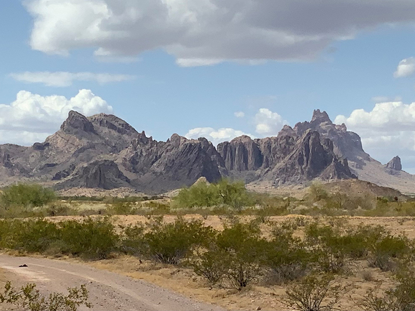
North America’s Basin and Range Province is home to some of the most extreme environments on the continent, including Death Valley. Stretching from the Wasatch Mountains in Utah to the Sierra Nevada in California and into northwestern Mexico, this area experiences near-constant drought and extreme summer heat.
The Basin and Range Province is also seismically active. For example, the 1887 Sonoran earthquake in the southern Basin and Range caused extensive damage and dozens of deaths. However, deformation rates in the southern Basin and Range are hard to quantify because of few young faults and infrequent seismic events. Furthermore, the adjacent San Andreas and Gulf of California fault systems of the Pacific–North America plate boundary can mask strain rates in the southern Basin and Range.
In a new paper, Broermann et al. explored deformation in a large area including Arizona, New Mexico, and southern portions of Utah and Colorado, within the southern Basin and Range and the Colorado Plateau. The authors observed crustal motion using the EarthScope Plate Boundary Observatory. The array of GPS sensors, seismometers, and other instruments monitor seismology and the tectonic plates underlying North America. The authors used the data to develop models of crustal surface velocity and strain rates in the study area. They concluded that accumulated strain in the crust is the primary driver of future continental earthquakes.
The authors separated the effects of the plate boundary and fluctuating impacts of coseismic and postseismic deformation on strain rates in the region. The results revealed three distinct regions with unique characteristics: a western region, an eastern region, and the Colorado Plateau interior block. Each area differs in the strain rate and motion it experiences, which can affect the probability of future earthquakes. For example, the western region features higher strain rates and an approximately east–west principal axis. In contrast, the eastern region has lower strain rates and a more west–southwest trending axis.
The highest strain rate in the study area includes southwestern Arizona, an expanse with sparse faults and low seismicity. The high strain rate in the region may indicate a potential for future large-magnitude earthquakes, although strain accumulation may be reduced through other processes. (Journal of Geophysical Research: Solid Earth, https://doi.org/10.1029/2020JB021355, 2021)
—Aaron Sidder, Science Writer
Citation:
Sidder, A. (2021), Crustal motion and strain rates in the southern basin and range province, Eos, 102, https://doi.org/10.1029/2021EO160915. Published on 21 July 2021.
Text © 2021. AGU. CC BY-NC-ND 3.0
Except where otherwise noted, images are subject to copyright. Any reuse without express permission from the copyright owner is prohibited.