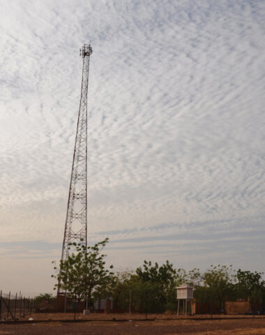
With the dry Sahara Desert in the north and the tropical Sudanian savanna in the south, West Africa is a key spot for monitoring the extreme effects of climate change, such as the increasing rate of harsher droughts and higher floods.
However, in many of the developing countries in West Africa, ground-based instruments to measure annual rainfall are either not available or are rapidly degrading. Satellite measurements are not always exact and should be compared against ground-based measurements to ensure accuracy. Doumounia et al. have found an alternative, using the growing network of cellular towers throughout West Africa.
Rain and other types of atmospheric disturbances produce measurable fluctuations in radio signals, making it possible to track the severity of local droughts and floods. Rainfall has been monitored using this inexpensive technique in Europe and Israel, but it had not been attempted in West Africa because scientists did not have access to data from cellular networks and because they thought that the longer distance between towers and the lower-frequency signals would lead to significant measurement errors. However, the authors’ study suggests otherwise.
The authors established a test bed in Ouagadougou, Burkina Faso, during the 2012 monsoon season. Analyzing the radio signals between two cell towers located 29 kilometers apart, the researchers quantified rainfall in West Africa using a commercial link. They compared their measurements with local rain gauge data and found that the method was successful in quantifying rainfall by detecting 95% of rainy days in the region. The scientists were given permission to extend their test bed to 14 cellular towers for the 2013 monsoon season. With more towers, they can begin to construct a rain map that details rainfall over a larger portion of West Africa. (Geophysical Research Letters, doi:10.1002/2014GL060724, 2014)
—Jessica Orwig, Writer
© 2014. American Geophysical Union. All rights reserved.
© 2014. American Geophysical Union. All rights reserved.

