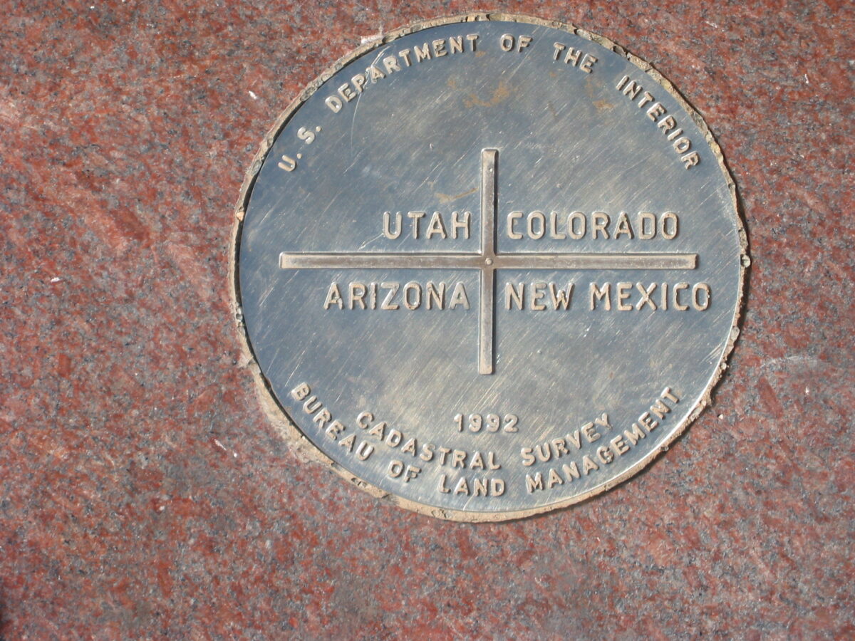
To better understand sources of emission of methane—a more potent greenhouse gas than carbon dioxide—climatologists are seeking a catalog of the planet’s entire methane budget. As part of that effort, Kort et al. looked at significant methane sources using satellite imagery of the United States from the Scanning Imaging Absorption Spectrometer for Atmospheric Cartography (SCIAMACHY), a spectrometer on the European Space Agency’s Envisat satellite. They found that America’s largest methane signal is coming from the Southwest’s Four Corners region. The spectrometer recorded a vast but previously undetected spot over the region that was visible in the data back to 2003, the team says. Previous studies that lacked observations in the region had indicated that emissions should be lower in the Four Corners.
However, the researchers’ observations agree with those made by instruments on the ground. The Four Corners region is the largest coal bed methane production site in the United States. That activity is likely an important contributor to the high methane signal. It is possible emissions from these sources are underestimated more broadly.
The team says the Four Corners emissions they observed would make up roughly 5% of total U.S. methane emissions from natural gas, coal mining, and petroleum extraction combined. Past studies have shown that the region’s coal power plants are already among the top emitters of CO2 in the country. This work demonstrates that space-based observations can play an important role in locating and quantifying regions with surprising methane emissions. (Geophysical Research Letters, doi:10.1002/2014GL061503, 2014)
—Erik O. Betz, Writer
Citation: Betz, E. (2015), Southwest’s Four Corners home to largest U.S. methane signal, Eos, 96, doi:10.1029/2015EO021539. Published on 5 January 2015.
Text © 2014. The authors. CC BY-NC 3.0
Except where otherwise noted, images are subject to copyright. Any reuse without express permission from the copyright owner is prohibited.

