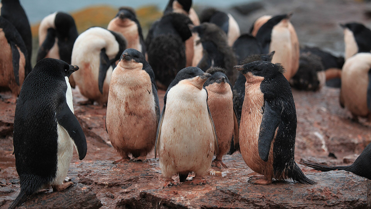
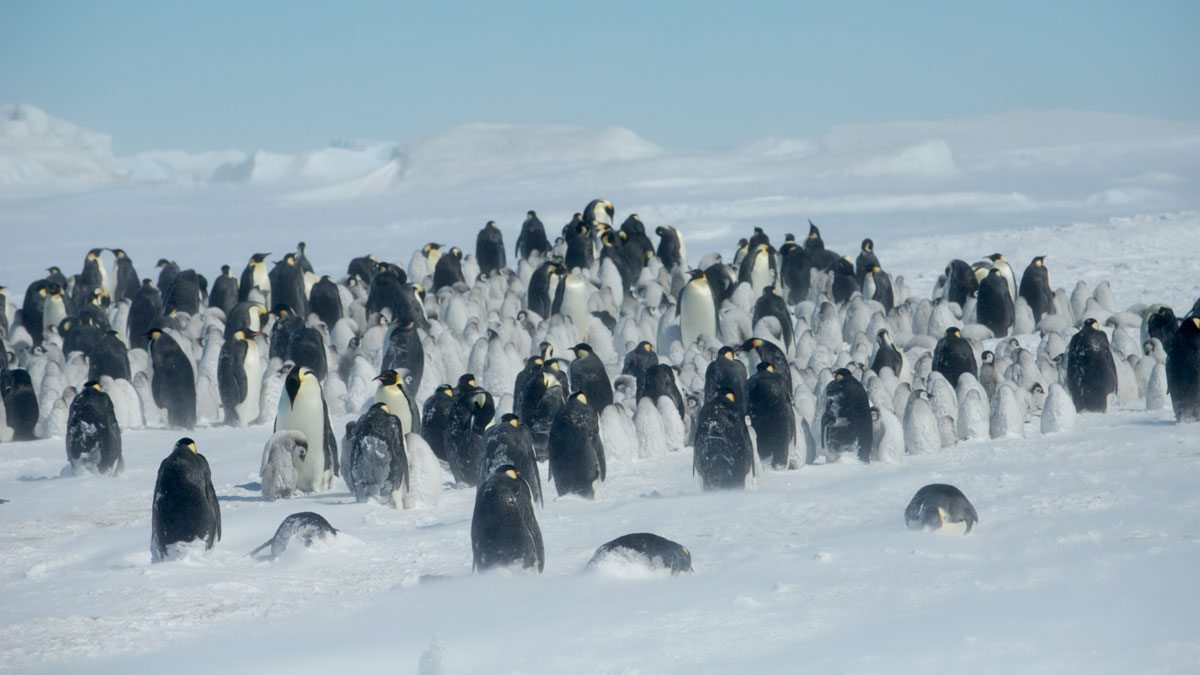
Long-term records documenting the colors of penguin guano shed light on how declining sea ice may be affecting penguin diets.
satellite imagery
Posted inNews
Big Trouble from Little Wetlands
New research suggests that small wetlands, previously unaccounted for in the global methane budget, are responsible for about 25% of global methane emissions.

Posted inResearch Spotlights
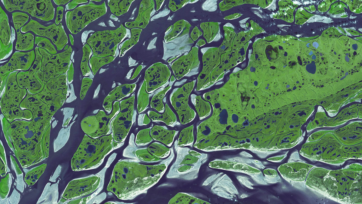
Tracking 20 Years of Productivity in Tidal Wetlands
A new study suggests warming temperatures and increased solar radiation have boosted carbon fixation in tidal wetlands across the country.
Posted inEditors' Highlights
Seeing Earth’s Most Common Minerals from Space
A novel method marks an important step toward mapping quartz and feldspar globally.

Posted inNews
Fragmented Forests Sequester Less Carbon
New research has revealed that larger, unified forests store more carbon than the same area of fragmented patches.
Posted inNews
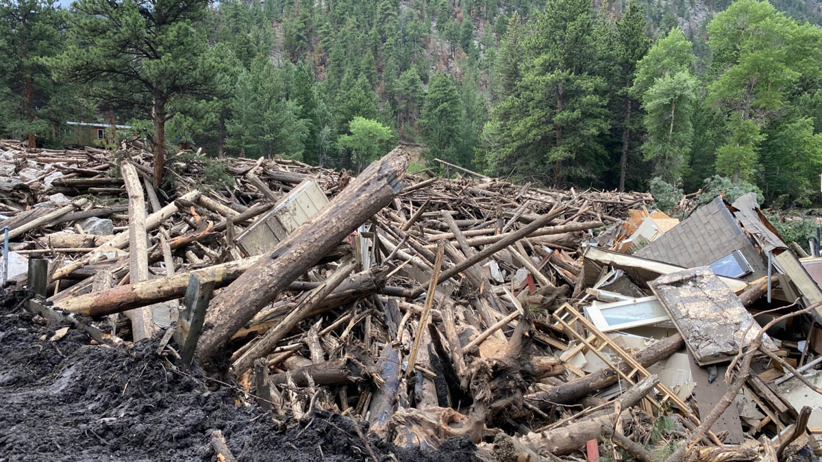
A New Approach Can Better Predict Debris Flow Hazards Years After Fires
USGS hazard maps don’t always reflect real landslide risk in the years after wildfires. Fine-tuning assessments of vegetation recovery could help.
Posted inNews
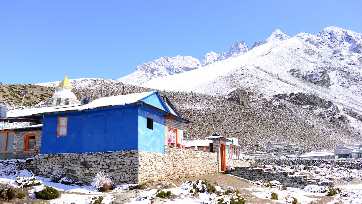
Vegetation Moves Upslope Across the Himalayas
The vegetation line in places like Nepal and Bhutan is shifting upward by meters per year, with implications for how water moves through the planet’s “Third Pole.”
Posted inThe Landslide Blog
The 12 March 2026 Kursebi landslide in Georgia
A large landslide in Tkibuli municipality has rendered 45 families homeless and has caused damage over an area of 58 hectares. Early in the morning of 12 March 2026, a landslide struck a small village in Tkibuli municipality of rural Georgia. The Kursebi landslide has rendered 45 families homeless, causing damage over a surface area […]
Posted inNews
Shrinking Sea Ice Is Ruffling Emperor Penguins’ Feathers
A scientist stumbled upon evidence of penguin molting sites in satellite data, but the sea ice these birds rely on is disappearing.
Posted inThe Landslide Blog
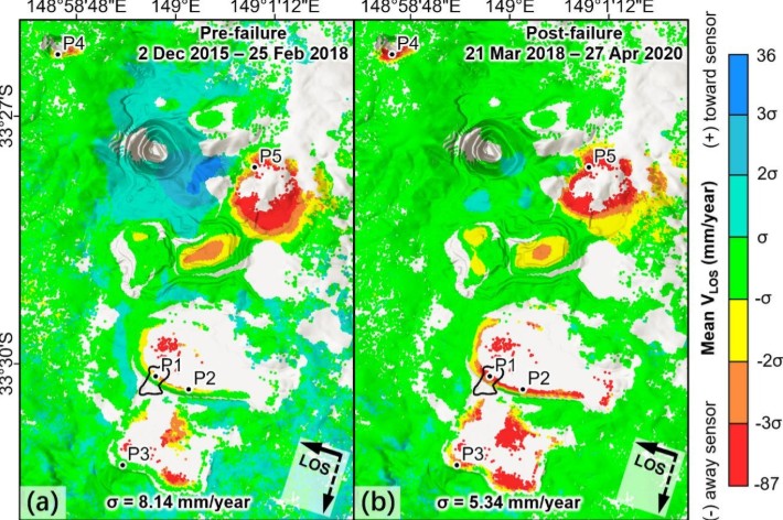
Monitoring pre- and post-failure InSAR-derived deformation in surface mining complexes
A new paper in the International Journal of Applied Earth Observation and Geoinformation uses InSAR to explore the complex patterns of deformation that occur in and around large mining operations. I have frequently discussed landslides in mining operations on this site, highlighting repeatedly the unacceptable losses that result from slope failures. In many cases, these […]