Source: Journal of Geophysical Research: Earth Surface
More than half a century ago, the Glen Canyon Dam was built to hold back the mighty Colorado River above Lees Ferry, stopping sediment from flowing naturally into the Grand Canyon. Researchers are still working to understand the dam’s subsequent impact on downstream sandbars. These beaches are a fundamental aspect of the predam landscape and crucial to endangered species and river sports alike.
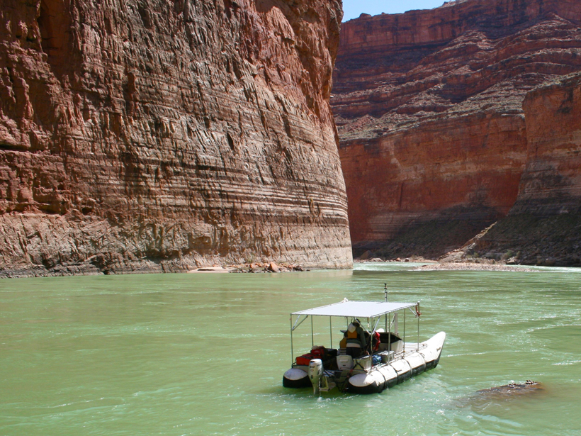
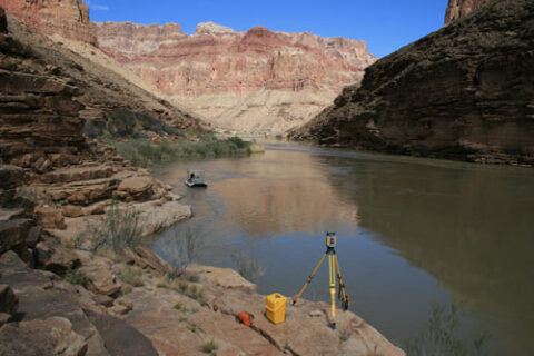
In recent years, the Bureau of Reclamation has unleashed experimental floods in an attempt to restore sand to eroded banks. Understanding the effects of such experiments requires detailed monitoring of the riverbed elevation and grain size, but dredging sediment and collecting cores is both pricy and time-consuming.
In recent years, geologists have turned to more efficient photo sampling—time-lapsed images that reveal visual effects of experiments. However, to understand the complete environment of sand, gravel, and boulders, a more sweeping approach is needed.
Accordingly, Buscombe et al., tested an increasingly popular technique called high-frequency acoustic backscattering to classify the Colorado River bottom. The approach bounces sound waves off sediment to determine its grain size. In the past, geologists have used this technique to successfully survey large, homogeneous areas, but the Grand Canyon’s dynamic riverbed, composed of a patchwork of sediment types, presented a unique challenge.
The authors used a machine-learning approach to arrive at the best way to calibrate a model of riverbed backscattering to classify sediments at very fine spatial resolution. As a result, they were able to classify patches of sand, gravel, and boulders with up to 95% accuracy.
Tracking how these patches grow or shrink over time could help document how events such as dam removal, experimental water releases, and natural floods influence sediment distribution. The team believes the technique should hold up away from the Grand Canyon calibration sites where it was tested, allowing for more accurate analysis of riverbeds around the world. (Journal of Geophysical Research: Earth Surface, doi:10.1002/2014JF003191, 2014)
—Eric Betz, Freelance Writer
Citation: Betz, E. (2105), Using sound waves to study Grand Canyon sediment, Eos, 96, doi:10.1029/2015EO032421. Published on 13 July 2015.
Text © 2015. The authors. CC BY-NC 3.0
Except where otherwise noted, images are subject to copyright. Any reuse without express permission from the copyright owner is prohibited.