Developing shared cyberinfrastructure can enhance predictions of ecological change and enable improved decisionmaking for resource management and public well-being.
Science Updates
Posted inScience Updates
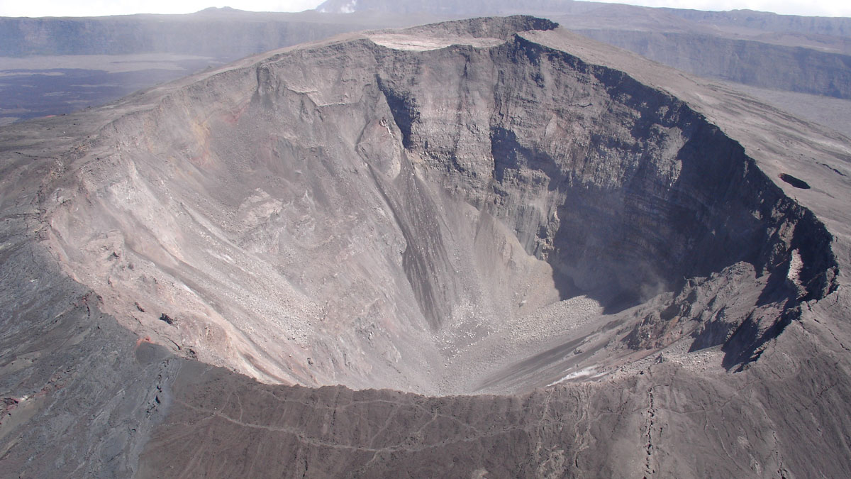
Lessons and Lingering Questions from Collapsing Basaltic Calderas
Research into the hazardous collapses of basaltic volcanoes has revealed common physical processes, but addressing remaining questions requires learning more from historical events.
Posted inScience Updates
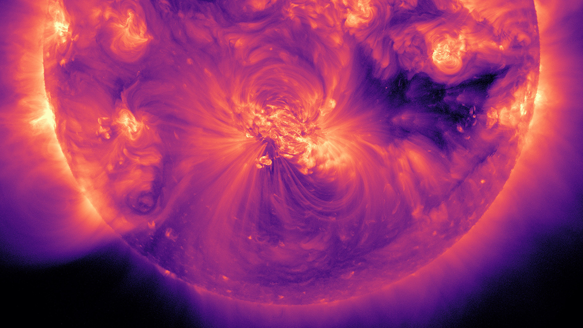
Shining a Light on the People Behind Solar Science
A new database provides a comprehensive who’s who of scientists in solar and heliospheric physics research, offering a valuable resource for that community and a model for other fields to follow.
Posted inScience Updates
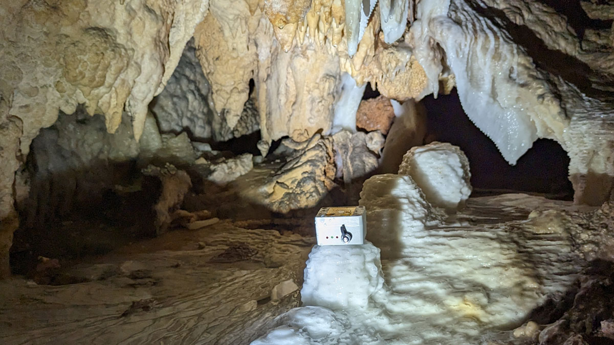
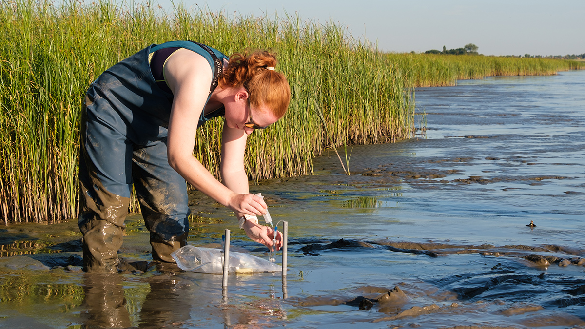
When Does Rainfall Become Recharge?
Counting drips in caves is helping to reveal how much precipitation is needed to start refilling underground aquifers.
Posted inScience Updates
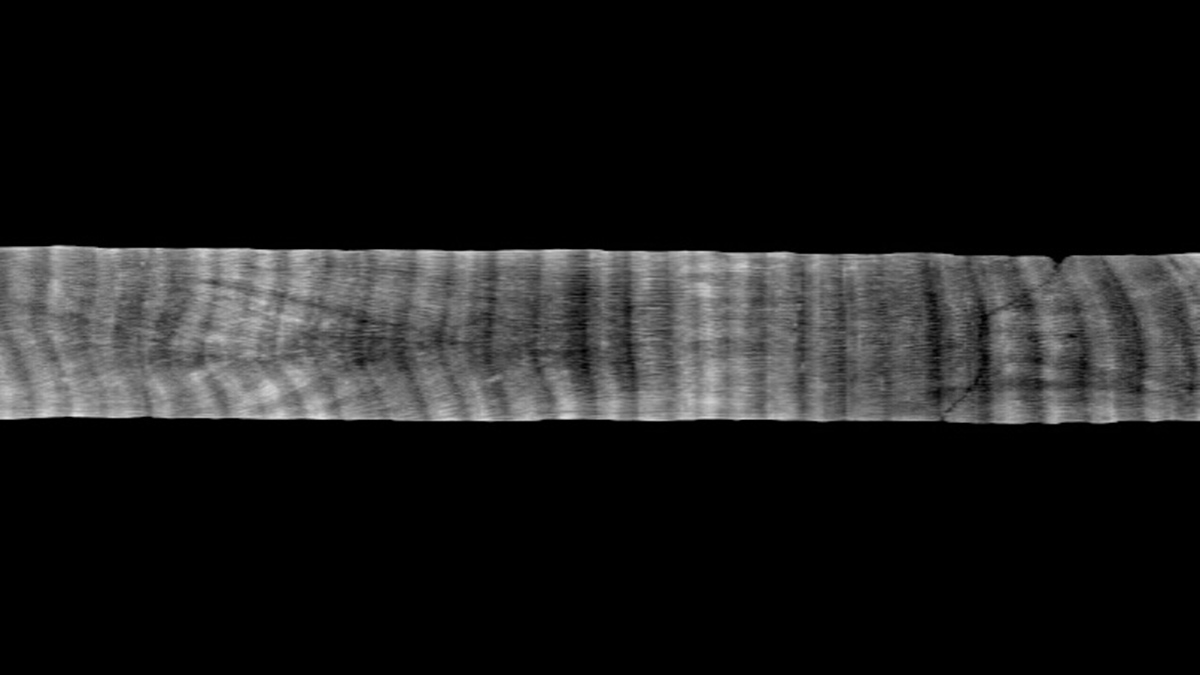
Tracing Iron’s Invisible Transformations Just Beneath Our Feet
A new method that adds synthetic iron minerals to soils sheds light on hard-to-observe soil and sediment processes and may have a host of other applications in the Earth sciences and beyond.

Posted inScience Updates
An Accessible Alternative for Undergraduate Research Experiences
This program reimagined traditional undergraduate research experiences to lower barriers to participation and support students as they explored the whole arc of scientific research.

Posted inScience Updates
Un repositorio de núcleos de coral diseñado para la transparencia y accesibilidad
CoralCT archiva datos originales y procesados de núcleos de corales y arrecifes, preservando información valiosa sobre cómo los corales responden a cambios medioambientales.
Posted inScience Updates
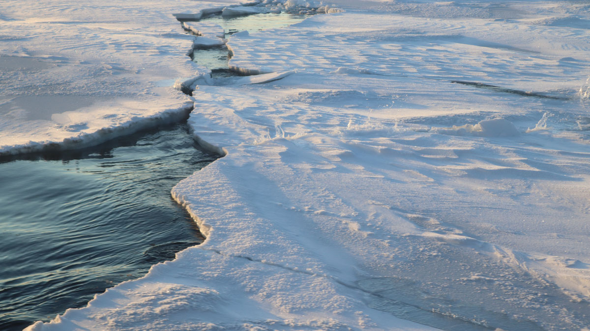
Finding Consensus on Arctic Ocean Climate History
Understanding the effects of a “blue” Arctic Ocean on future climate requires a coordinated effort to study Earth’s past warm periods using a variety of classical and cutting-edge methods.
Posted inScience Updates
A Coral Core Archive Designed for Transparency and Accessibility
CoralCT archives raw and processed data from coral and reef core samples, preserving valuable insights into how corals respond to environmental changes.

Posted inScience Updates
Two Neutron-Monitoring Networks Are Better Than One
Hydrologists, atmospheric scientists, and space scientists are teaming up to keep a closer eye on soil moisture, hazardous space weather, and more.