
A team of scientists finds a year-by-year record of climate history spanning the past 17,000 years at the bottom of a South Island lake.
Science Updates
Posted inScience Updates
Designing Mountaintop Cloud Experiments
Whiteface Mountain Cloud Chemistry Workshop; Wilmington, New York, 16–17 September 2016

Posted inScience Updates
Advancing a Multisphere Approach to Third Pole Research
The International Workshop on Land Surface Multi-spheres Processes of Tibetan Plateau; Xining, Qinghai Province, China, 8–10 August 2016
Posted inScience Updates
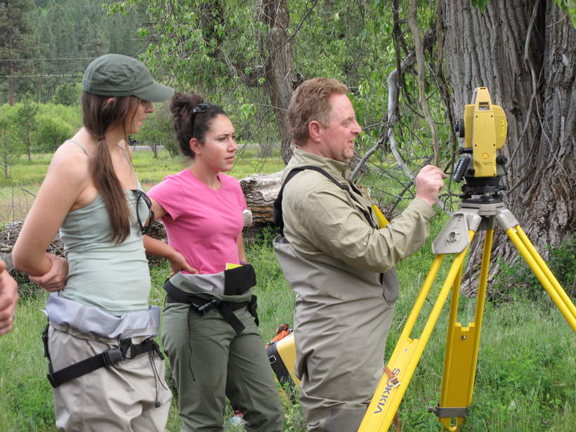
Defining Opportunities for Collaboration Across Data Life Cycles
Developing Enterprise Tools and Capacities for Large-Scale Natural Resource Monitoring; Fort Collins, Colorado, 12–13 October 2016
Posted inScience Updates
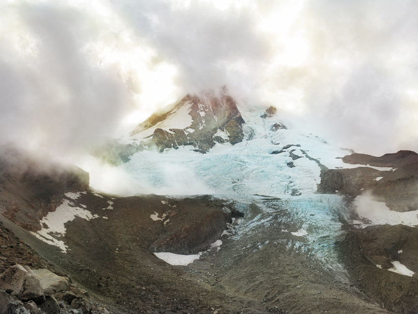
Reconstructing Past Sea Level Change to Understand the Future
PALSEA2 2016 Workshop: Sea-Level Budgets at Decadal to Millennial Time Scales to Bridge the Paleo and Instrumental Records; Mount Hood, Oregon, 19–21 September 2016
Posted inScience Updates
Geoacoustics Takes to the Sky
Airborne Geoacoustics Workshop; Albuquerque, New Mexico, 3 January 2017

Posted inScience Updates
Integrating Research of the Sun-Earth System
International Symposium on Recent Observations and Simulations of the Sun-Earth System III; 11–16 September 2016, Varna, Bulgaria

Posted inScience Updates
Optical Sensors Can Shed Light on Particle Dynamics in the Ocean
First TOMCAT Workshop; Southampton, UK, 12–14 September 2016

Posted inScience Updates
Understanding Kamchatka’s Extraordinary Volcano Cluster
An international seismological collaboration in Kamchatka, Russia, investigates the driving forces of one of the world’s largest, most active volcano clusters.
Posted inScience Updates
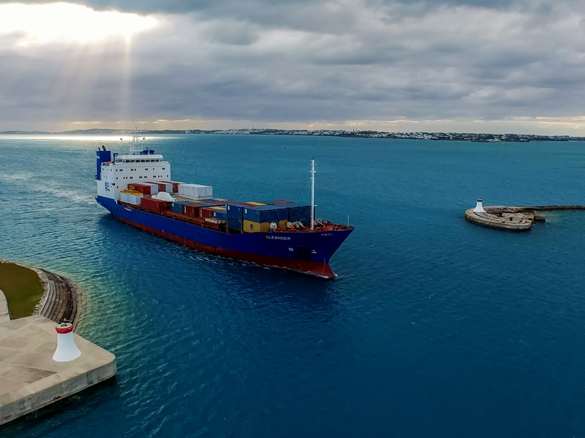
Packing Science into a Shipping Vessel
Oleander Workshop II: 25 Years of Operations; Narragansett, Rhode Island, 26–27 October 2016