
Sixth International Conference on Mars Polar Science and Exploration; Reykjavík, Iceland; 5–9 September 2016
Science Updates

Posted inScience Updates
Himalayan Climate Change Affects Regional, Global Environments
6th Third Pole Environment (TPE) Workshop; Columbus, Ohio, 16–18 May 2016
Posted inScience Updates
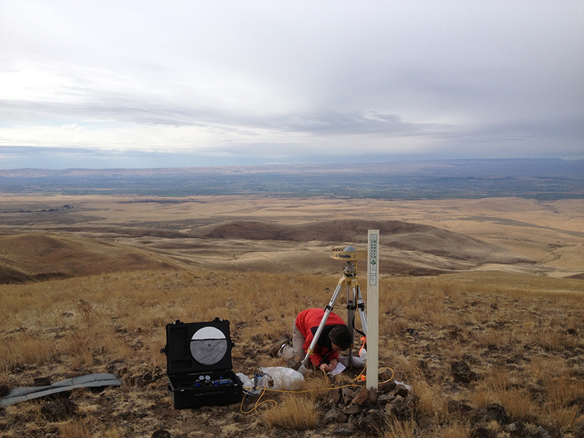
Using Strain Rates to Forecast Seismic Hazards
Workshop on Geodetic Modeling for Seismic Hazard; Menlo Park, California, 19 September 2016
Posted inScience Updates
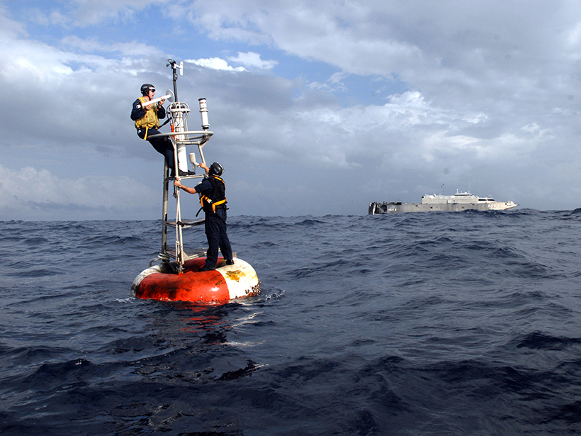
Expanding a 300-Year Record of Marine Climate
Fourth International Workshop on the Advances in the Use of Historical Marine Climate Data; Southampton, UK, 18–22 July 2016
Posted inScience Updates
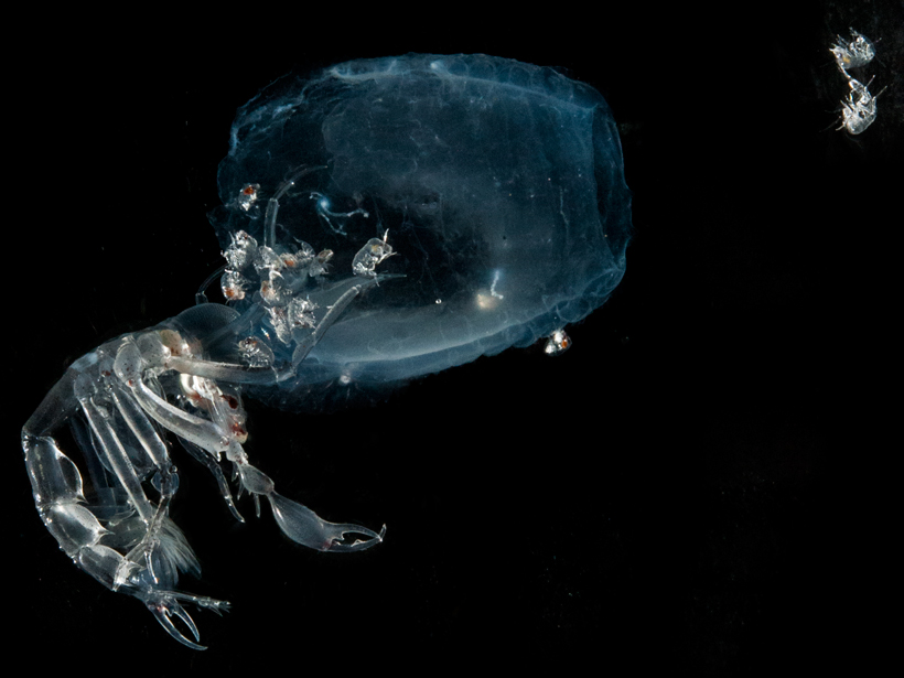
Early-Career Scientists Explore Newly Discovered Methane Seeps
UNOLS Deep Submergence Training Cruise 2016; Woods Hole, Massachusetts, 28 July to 7 August 2016

Posted inScience Updates
Geological Insights from Malaysia Airlines Flight MH370 Search
A rich trove of marine geophysical data acquired in the search for missing flight MH370 is yielding knowledge of ocean floor processes at a level of detail rare in the deep ocean.

Posted inScience Updates
Cities Smarten Up and Go Green
CIENS Urban Conference 2016: Smart and Green Cities – For Whom?; Oslo, Norway, 13 October 2016

Posted inScience Updates
Saving Our Marine Archives
A concerted effort has begun to gather and preserve archives of marine samples and descriptive data, giving scientists ready access to insights on ancient environments.
Posted inScience Updates
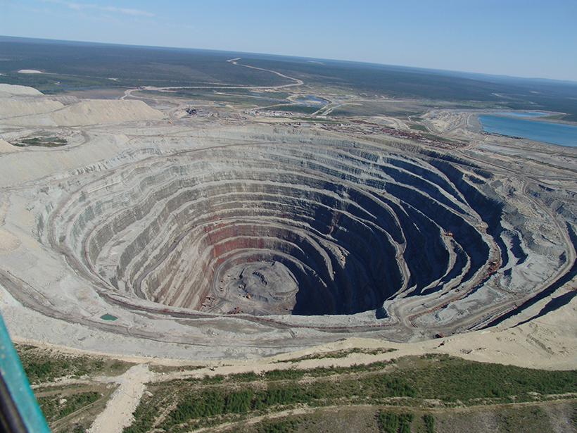
Synthesizing Our Understanding of Earth's Deep Carbon
The Deep Carbon Observatory is entering a new phase, in which it will integrate 10 years of discoveries into an overarching model to benefit the scientific community and a wider public.
Posted inScience Updates
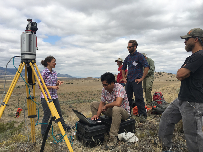
Integrating Topographic Imaging into Geoscience Field Courses
Using TLS and Structure from Motion (SfM) Photogrammetry in Undergraduate Field Education; Cardwell, Montana, 16–19 August 2016